Free Interactive Map Tools & Printable Blank Maps
68 interactive geographic tools and 110 printable blank maps. Drive time maps, radius circles, distance calculators, county finders, elevation lookup, and more. All free, no sign-up required.
Most Popular Free Map Tools
Engineered for real estate agents, delivery dispatchers, outdoor hikers, researchers, and students. Executed directly in your browser with zero latency.
What County Am I In?
Instantly detects your governing US county, 5-digit FIPS code, and county seat using private browser GPS or street address search across all 3,143 US county equivalents.
Drive Time Map & Isochrones
Creates approximate 15, 30, 45, and 60-minute driving, walking, or cycling planning rings from average travel speeds. No account or API key is required.
Map Radius Tool
Draw accurate 5-mile, 10-mile, or custom kilometer distance circles around any address or point. Computes geodesic area and circumference on the WGS84 ellipsoid.
Distance Between Two Places
Calculates exact straight-line "as the crow flies" distance, compass headings, flight arc routes, and geographic midpoints between any two cities or coordinates on Earth.
Map Area Calculator
Measure property parcels, land areas, and turf coverage by sketching polygons on satellite maps. Displays measurements in acres, square feet, hectares, and square meters.
Elevation Finder & My Altitude
Sample elevation above sea level for any GPS coordinate, address, mountain summit, or trail path using Copernicus GLO-90 global 90-meter digital elevation models.
Search All 68 Interactive Map Tools
Filter by category, search by primary keyword, or switch between detailed cards and a compact alphabetical directory.
Map Radius Tool
Draw accurate distance circles on an interactive map in miles, kilometers, or nautical miles. Calculate radius area, circumference, and export vector geometries.
Map Area Calculator
Calculate land and property area on a map by drawing custom polygons. Instantly get measurements in acres, hectares, square feet, square meters, and square miles.
Distance Between Places
Calculate high-precision geodesic distance, straight-line Great-Circle distance, compass bearing, and geographic midpoint between any two points or addresses.
Coordinate Distance Calculator
Calculate exact mathematical geodesic and Great-Circle distance between two numerical GPS coordinate pairs with sub-millimeter precision.
Drive Time Map (Isochrone Calculator)
Generate multi-band drive time isochrones (15, 30, 45, 60 minutes) to visualize real-world travel distances by car, cycling, or walking.
Geofence Generator & Builder
Create circular and polygon geofences with trigger definitions (enter/exit) and instant GeoJSON export for IoT, fleet tracking, and mobile apps.
Buffer Map (Point, Line & Polygon Buffers)
Create geometric buffer zones around points, lines, and polygons with multi-distance overlays, area calculations, and GeoJSON export.
Latitude and Longitude Finder
Find GPS coordinates for any address or click anywhere on the world map to get exact Decimal Degrees (DD), DMS, DMM, UTM, MGRS, and Plus Codes.
Address to Coordinates (Geocoding)
Convert street addresses, cities, landmarks, and ZIP codes into exact latitude and longitude coordinates with administrative breakdown and map verification.
Coordinates to Address (Reverse Geocoding)
Convert GPS latitude and longitude into a structured street address, neighborhood, city, county, state, postal code, and country.
GPS Coordinate Converter
Convert coordinates simultaneously between Decimal Degrees (DD), Degrees Minutes Seconds (DMS), Degrees Decimal Minutes (DMM), UTM, MGRS, Geohash, and Plus Codes.
UTM Coordinate Converter
Convert between Universal Transverse Mercator (UTM) coordinates and Latitude/Longitude Decimal Degrees with zone detection.
MGRS Coordinate Converter
Convert coordinates to NATO Military Grid Reference System (MGRS) strings and decode MGRS to Latitude/Longitude.
Geohash Converter & Bounding Box Finder
Encode geographic coordinates into Base32 Geohash strings and decode Geohashes to bounding boxes and lat/lng centroids.
Plus Code Converter (Open Location Code)
Convert coordinates into Google Plus Codes (Open Location Codes) and decode Plus Code strings to exact lat/lng centers.
Coordinate Parser & Normalizer
Extract and standardize coordinates from unstructured text blocks, emails, and field logs into CSV and GeoJSON.
Bearing Calculator (Forward, Final & Back-Bearing)
Calculate initial departure bearing, final arrival bearing, and back-bearing between two locations with 360° compass visualization.
Midpoint Calculator (Geodesic Halfway Point)
Find the exact halfway point along the shortest geodesic path between two locations or addresses on the WGS84 ellipsoid.
Destination Point Calculator (Direct Geodesic)
Calculate the destination latitude and longitude given a starting coordinate, initial bearing angle, and distance.
Bounding Box Calculator (BBOX Generator)
Generate minimum bounding boxes (BBOX) around locations, coordinates, or radius buffers in GeoJSON, WMS, and PostGIS formats.
Geographic Center Finder (Centroid & Midpoint)
Find the true 3D spherical center of mass (centroid), bounding box midpoint, or optimal central meeting place for multiple locations.
KML / KMZ File Viewer & Converter
View Google Earth KML files on an interactive web map with zero software installation. Inspect layer geometries and convert to GeoJSON or CSV.
GPX Track Viewer & Route Analyzer
View GPS track logs (GPX) on a map with elevation profiles, total distance, pace statistics, waypoint markers, and GeoJSON export.
GeoJSON Viewer & Validator
Visualize, inspect, validate, and edit GeoJSON files on a responsive map. View attribute tables, feature counts, and geometry properties.
Shapefile Viewer & Attribute Table Inspector
View ESRI Shapefiles (.shp, .dbf, .prj, .zip) online in a browser without QGIS or ArcGIS desktop software.
GeoJSON Validator (RFC 7946 Compliance)
Validate GeoJSON syntax, coordinate ordering [longitude, latitude], ring closures, and RFC 7946 specifications with line error reports.
GeoJSON to KML Converter
Convert RFC 7946 GeoJSON files to Google Earth KML 2.2 files with 100% in-browser privacy.
KML to GeoJSON Converter
Convert Google Earth KML files to RFC 7946 GeoJSON FeatureCollections for web mapping and GIS.
GPX to KML Converter
Convert GPS track logs (GPX) into Google Earth KML files with full 3D elevation profile support.
CSV to Map (Batch Point Plotter)
Plot thousands of locations from spreadsheet CSV or Excel files on an interactive map. Auto-detects latitude/longitude columns with 100% client-side privacy.
Map Drawer (Shapes, Lines & Polygons)
Draw custom polygons, lines, circles, and markers on a map with full undo/redo history, area/distance calculations, and multi-format vector export.
Pin Drop Map (Multi-Marker Creator)
Drop custom markers on an interactive map, assign colors and labels, add descriptive notes, and share or export your map as GeoJSON, KML, CSV, or PNG.
Land Area Unit Converter
Convert land area between Acres, Hectares, Square Feet, Square Meters, Square Miles, Cuerdas, Rai, and Bigha.
Distance Unit Converter
Convert linear distance between Miles, Kilometers, Nautical Miles, Feet, Meters, Yards, Rods, Chains, and Furlongs.
Speed, Distance & Time Calculator
Calculate travel duration, required speed, or travel distance with pace splits and speed presets for driving, flights, and walking.
What County Am I In?
Find your current US county instantly using device GPS or by entering any street address or city name. View county FIPS codes, area, and population.
What State Am I In?
Determine your current US state or territory using GPS or address lookup. View state facts, capital, county breakdown, and state boundary maps.
What City Am I In?
Find the city, municipality, or incorporated township you are currently in using GPS coordinates or address search.
What ZIP Code Am I In?
Look up the US ZIP Code / Postal Code for your current location or any clicked map position, with ZCTA boundary outlines.
What Country Am I In?
Determine the sovereign country or territorial jurisdiction of your current position, including ISO codes, capital, and continent.
Elevation Finder & Altitude Map
Find ground elevation above sea level for any address, coordinates, or point on the world map. View elevation in feet and meters with terrain profile sampling.
What Is My Elevation?
Instantly find your current altitude and ground elevation above sea level using device GPS and verified digital elevation terrain models.
Sunrise & Sunset Calculator
Calculate exact astronomical, civil, and nautical sunrise, sunset, dusk, dawn, solar noon, and day length for any location and date.
Sun Position & Solar Angle Calculator
Calculate live solar azimuth, solar altitude angle, shadow length, and sun tracking paths for solar panel optimization, photography, and architecture.
Day & Night World Map (Solar Terminator)
Interactive global map showing the real-time day/night solar terminator curve, current sun subsolar point, and darkness overlay.
Moon Phase Calendar & Lunar Position
Track lunar phases, moon illumination percentage, moonrise, moonset, and next Full Moon and New Moon dates worldwide.
Antipode Finder (Opposite Side of Earth)
Find the exact point directly on the opposite side of the globe from any address or coordinate pair with dual interactive maps.
Earth Tunnel Map (Dig Through the Globe)
Simulate digging a straight tunnel through the center of the Earth to discover what ocean or country you would emerge in.
Random Location Generator
Generate truly uniform random points on Earth surface using spherical distribution, with options to filter for land-only or specific continents.
Printable Blank Maps Library (110 Maps)
High-resolution vector SVG, print-ready PDF, and PNG maps for classroom quizzes, sales territories, and graphic design. Formatted for US Letter and A4 paper.
United States
50 states with borders & insets
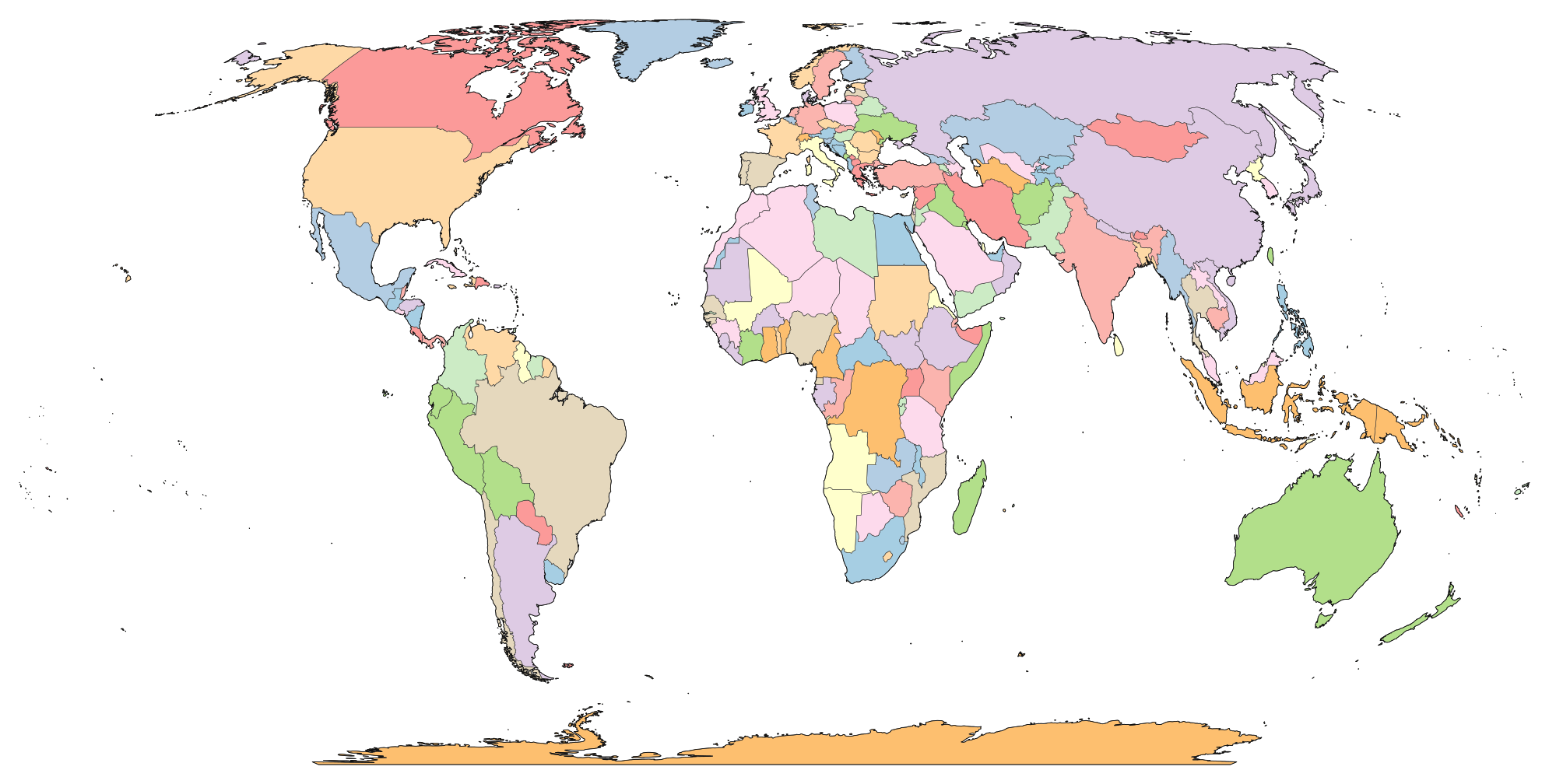
World Map
Global outline on Robinson projection
California
58 internal county boundaries
Texas
All 254 Texas counties detailed
Florida
67 Florida counties and coastlines
New York
62 counties & NYC 5 boroughs
Europe
44 European sovereign nations
Japan
47 prefectures and islands
United States Reference Hub & Counties Directory
Comprehensive reference covering all 50 US States and the District of Columbia. Compare 3,143 counties, 2024 Census populations, land areas, capitals, and FIPS codes.
Why Professionals & Educators Choose GeoMap Suite
Engineered from the ground up for cartographic accuracy, user privacy, and cross-platform GIS interoperability.
True Geodesic Ellipsoidal Math
Flat Web Mercator maps distort distance and area by over 400% near the poles. GeoMap Suite implements Karney algorithms on the WGS84 ellipsoid for sub-millimeter geodesy.
Zero Tracking Client-Side Execution
Point-in-polygon checks, coordinate conversions, and buffer calculations run in your device’s memory. Your location, addresses, and files are never stored on tracking servers.
Official Public Data Foundations
Strictly built on verified public-domain cartography: US Census Bureau TIGER/Line, OpenStreetMap routable networks, Natural Earth, and Copernicus GLO-90 DEM elevation.
Seamless GIS & Vector Exports
Export calculations and boundaries directly to GeoJSON (RFC 7946), KML, CSV coordinates, scalable SVG outlines, and high-resolution PNGs for QGIS, ArcGIS, or graphic design.
Frequently Asked Questions About GeoMap Suite
Answers to common questions regarding our interactive geographic tools, blank map licensing, accuracy benchmarks, and supported GIS data formats.
Yes. Every interactive map tool, geodesic calculator, coordinate converter, and downloadable vector blank map on GeoMap Suite is 100% free to use. There are no paywalls, no tiered subscriptions, no credit card requirements, and no daily usage limits.