Printable Blank Map Library
Explore our collection of 110 projection-optimized blank and outline maps covering the World, all 6 inhabited continents, 50 US states, and 51 sovereign nations. Every map is equipped with 4 interactive display variants and instant vector SVG, high-DPI PNG, and print-ready PDF downloads.
Popular Classroom & Research Maps
12 Core Outlines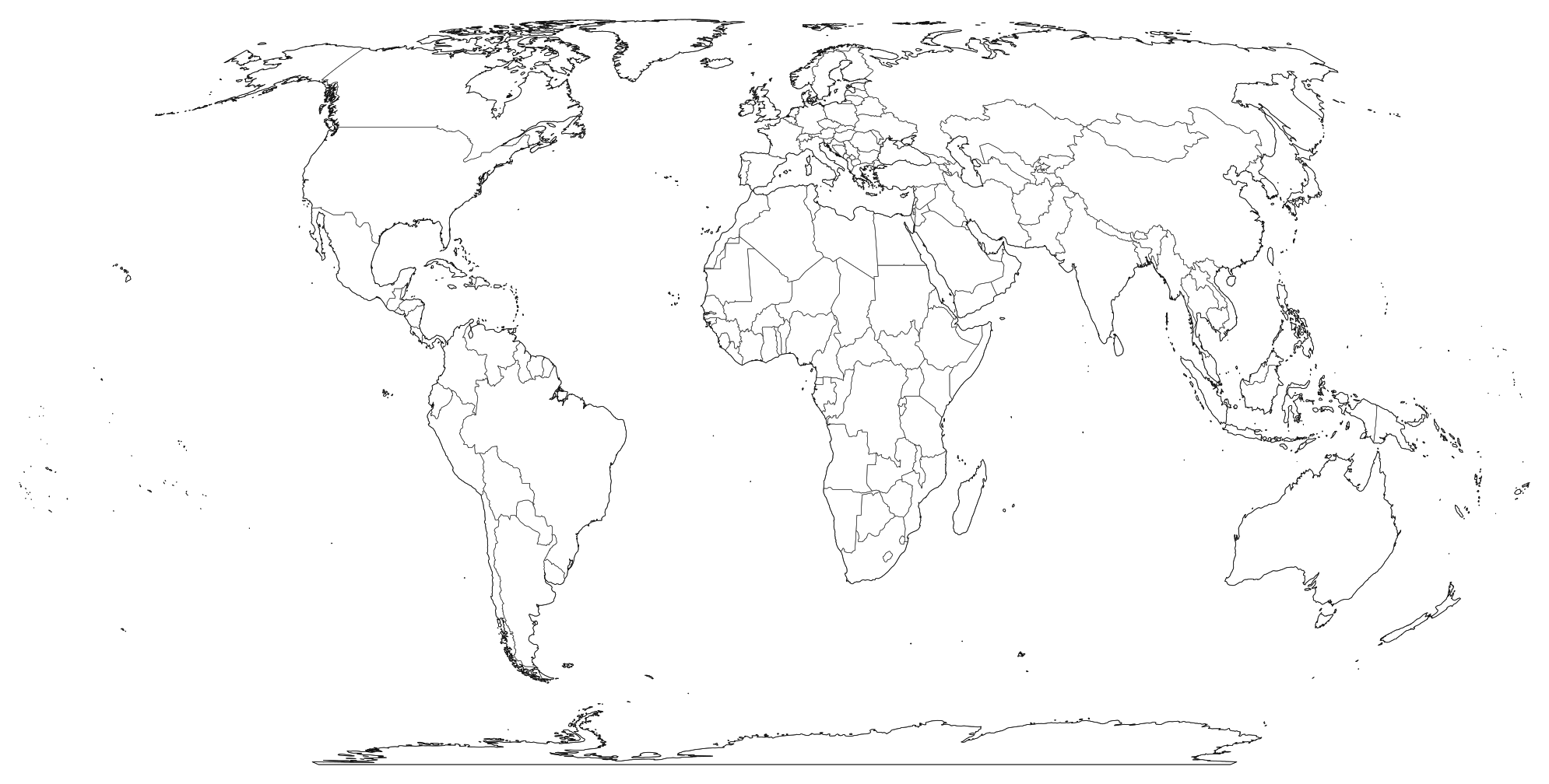 Popular
World Blank Map
Download high-resolution blank world map outlines in vector SVG, print-ready PDF, and PNG formats. Includes continental boundaries and sovereign country borders.
 Popular
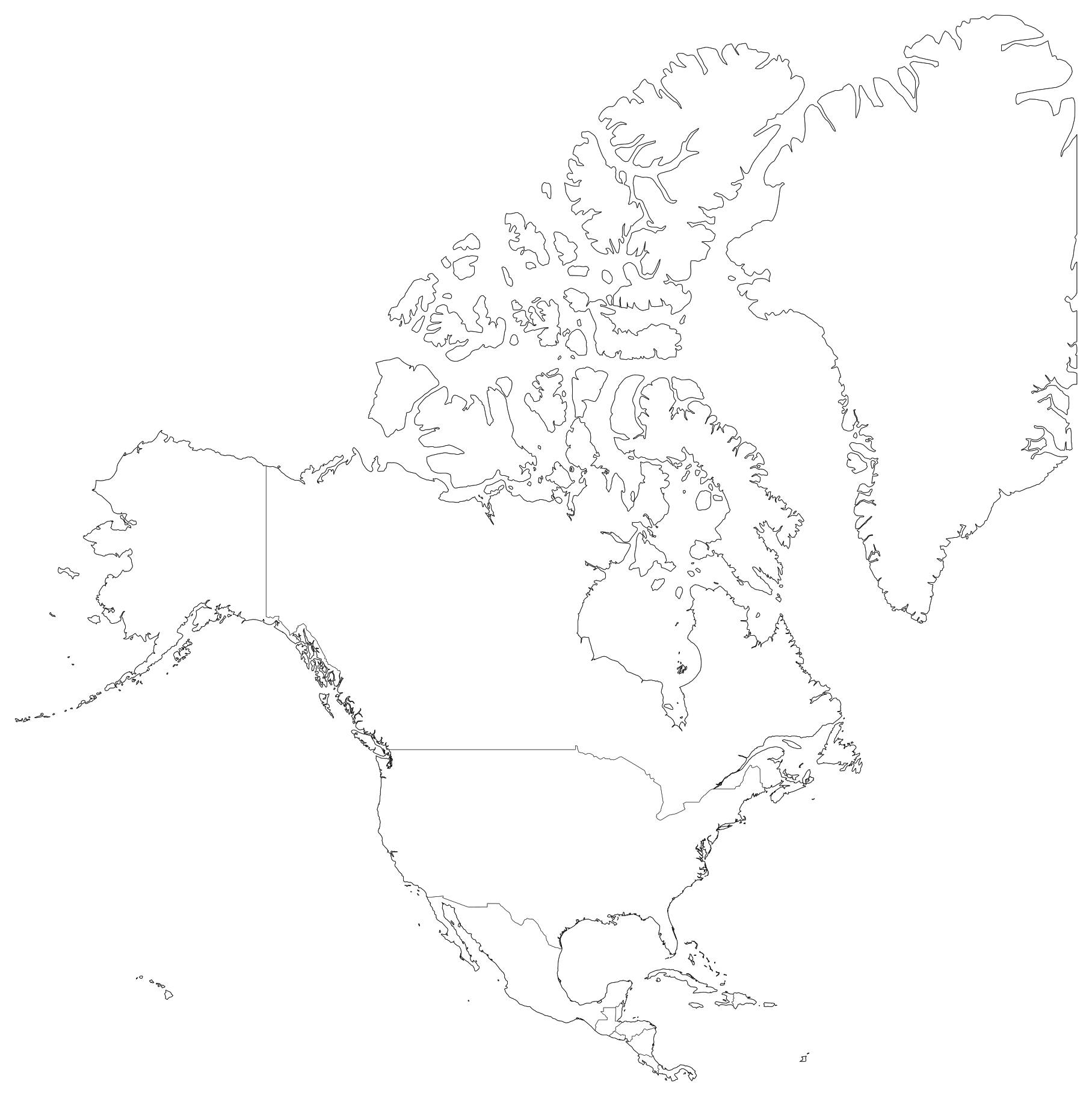
North America Blank Map
Printable blank outline map of North America with international boundaries between Canada, the United States, Mexico, Central America, and Caribbean islands.
 Popular
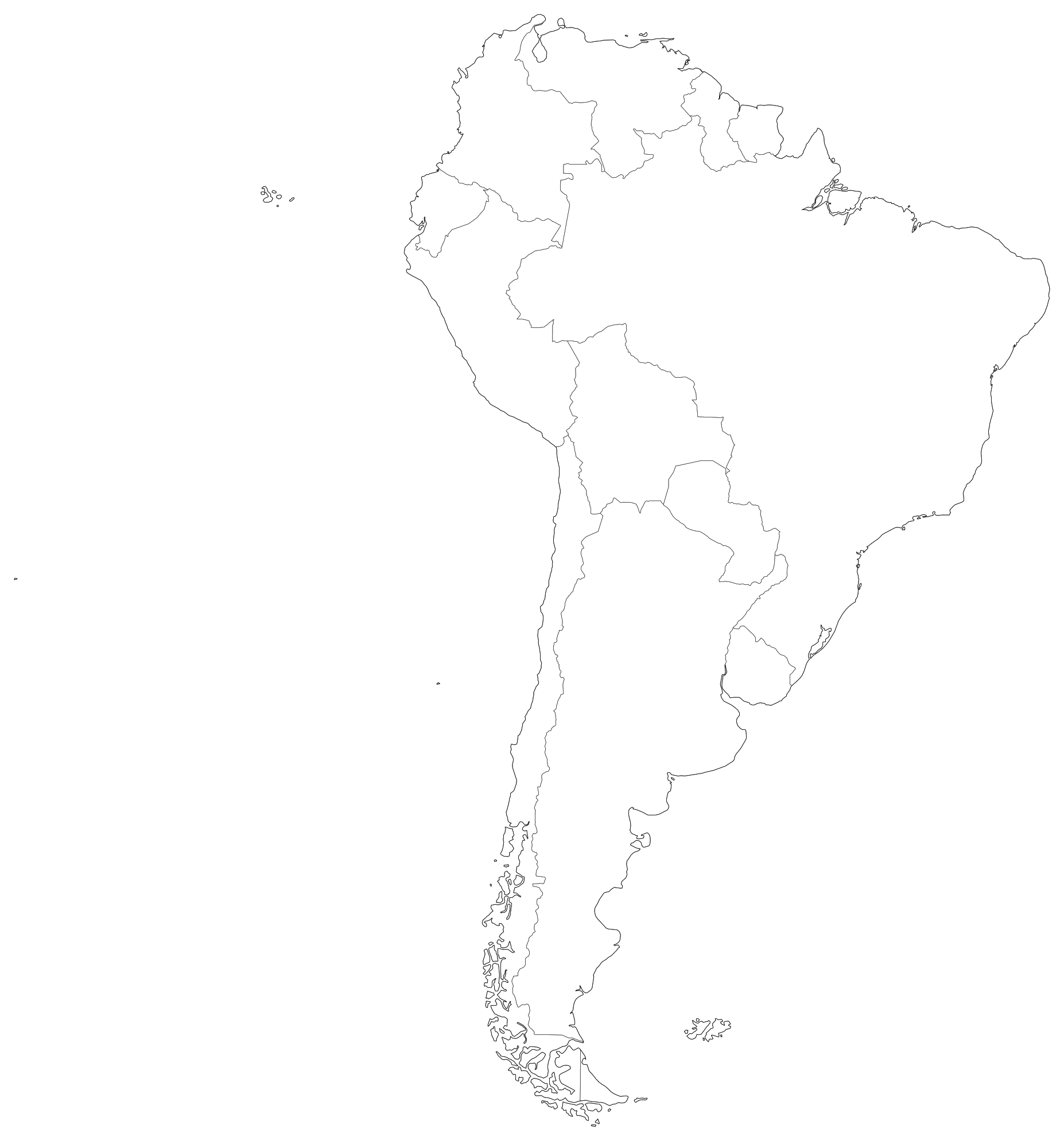
South America Blank Map
High-resolution printable blank map of South America showing national boundaries for all 12 sovereign nations and French Guiana in PDF, SVG, and PNG.
 Popular
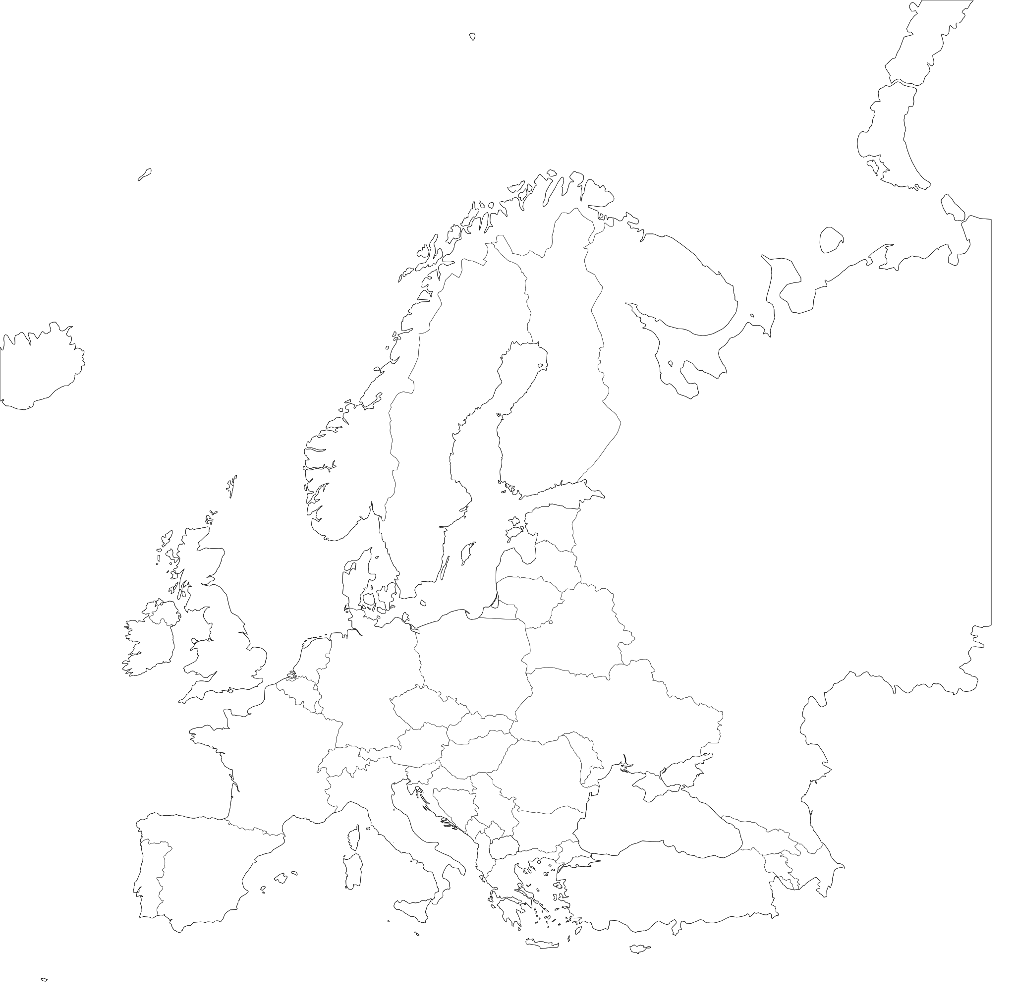
Europe Blank Map
High-resolution printable blank map of Europe with international borders in PDF, SVG, and PNG. Features both EU member states and non-EU nations.
 Popular
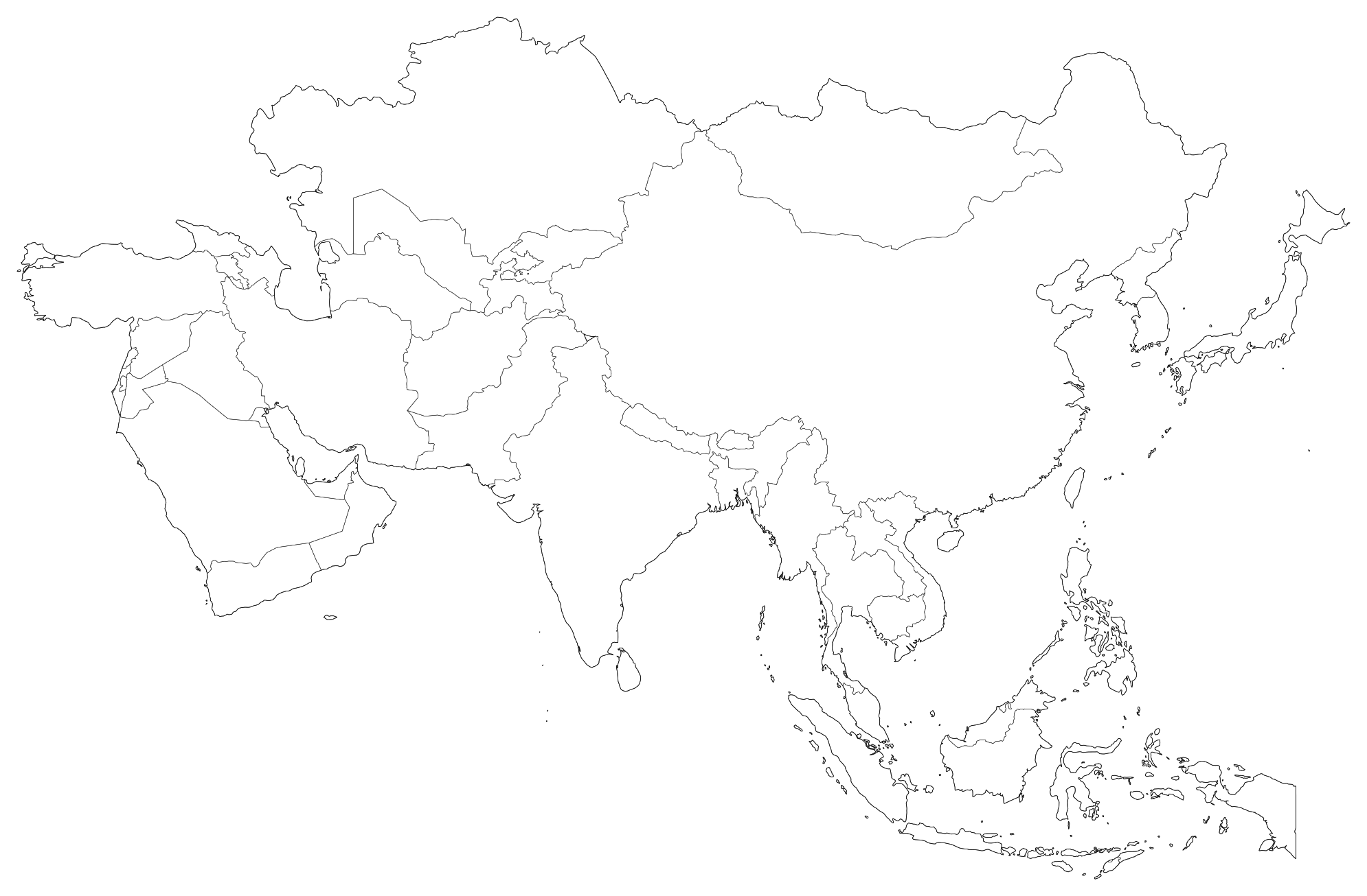
Asia Blank Map
Printable blank outline map of Asia covering East Asia, South Asia, Southeast Asia, Central Asia, and the Middle East with sovereign borders.
 Popular
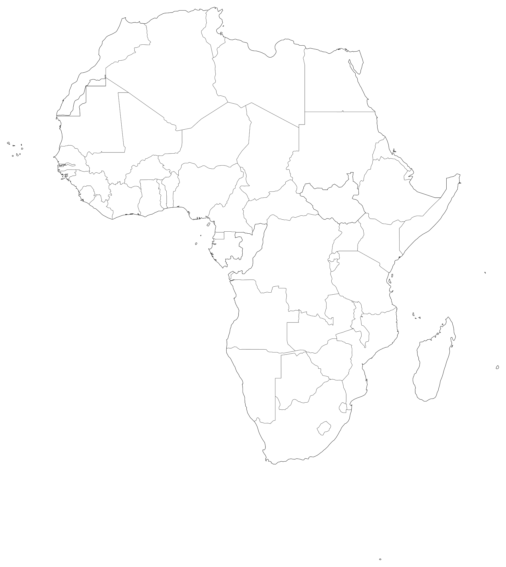
Africa Blank Map
High-resolution printable blank map of Africa with national borders for all 54 sovereign countries and island states in PDF, SVG, and PNG.
 Popular
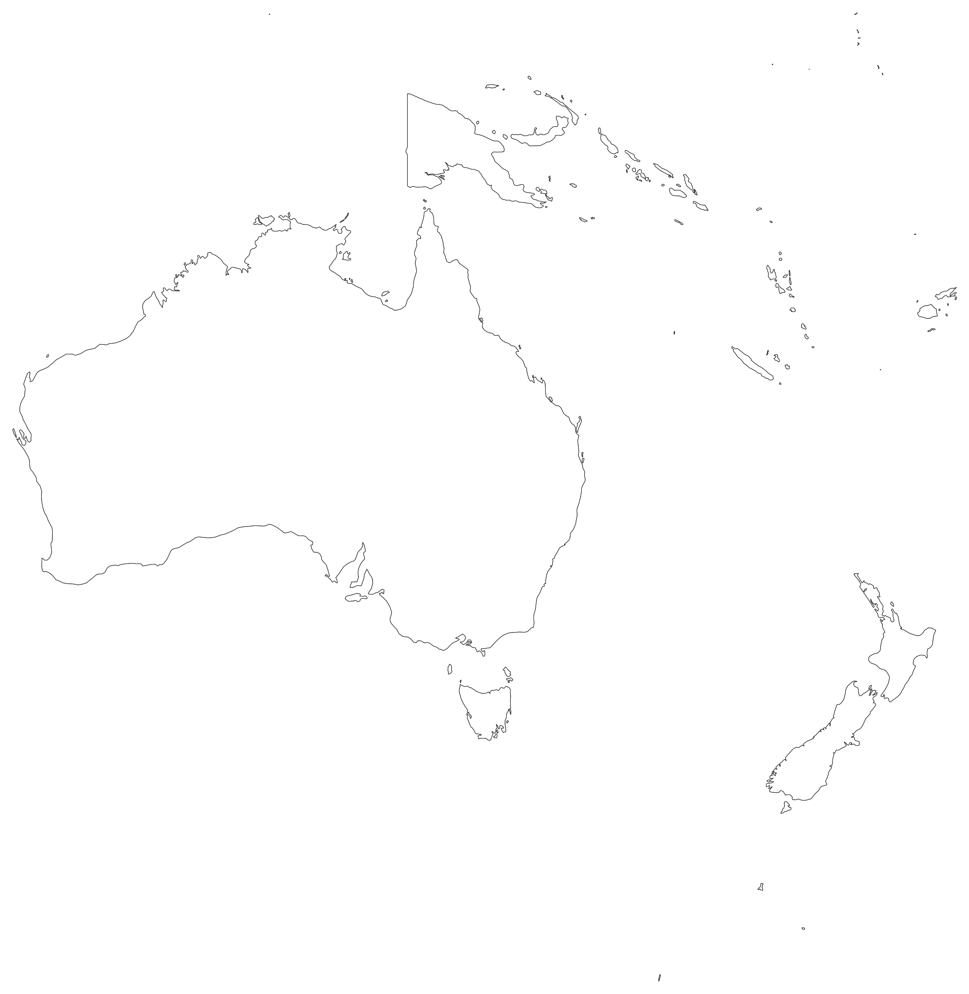
Oceania Blank Map
Printable blank outline map of Oceania including Australia, New Zealand, Papua New Guinea, and the Pacific island regions of Melanesia, Micronesia, and Polynesia.
 Popular
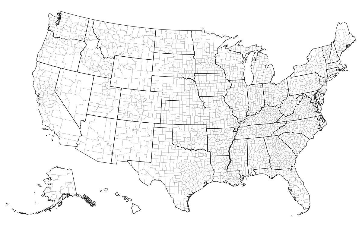
United States Blank Map
Download high-resolution blank US maps with state borders, labeled states, and outlines in vector SVG, print-ready PDF, and PNG formats.
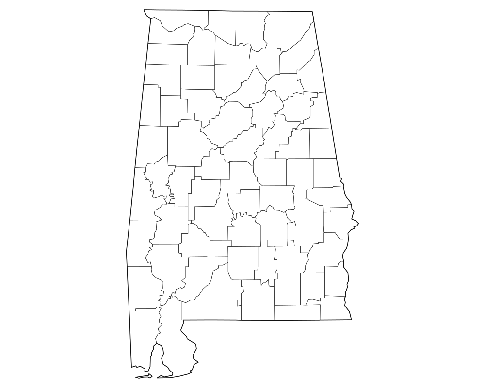
Alabama Blank Map
Download high-resolution blank Alabama state and county outline maps in vector SVG, print-ready PDF, and PNG formats. Includes county borders and major city anchors.

Alaska Blank Map
Download high-resolution blank Alaska state and county outline maps in vector SVG, print-ready PDF, and PNG formats. Includes county borders and major city anchors.
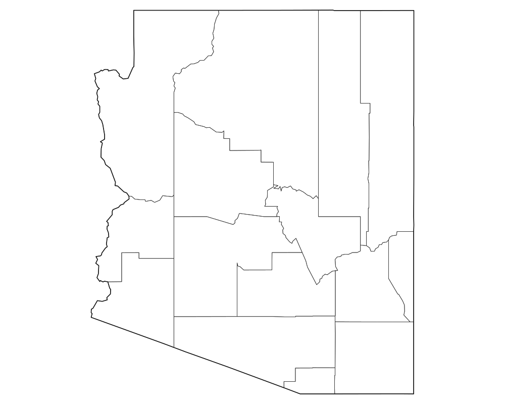
Arizona Blank Map
Download high-resolution blank Arizona state and county outline maps in vector SVG, print-ready PDF, and PNG formats. Includes county borders and major city anchors.
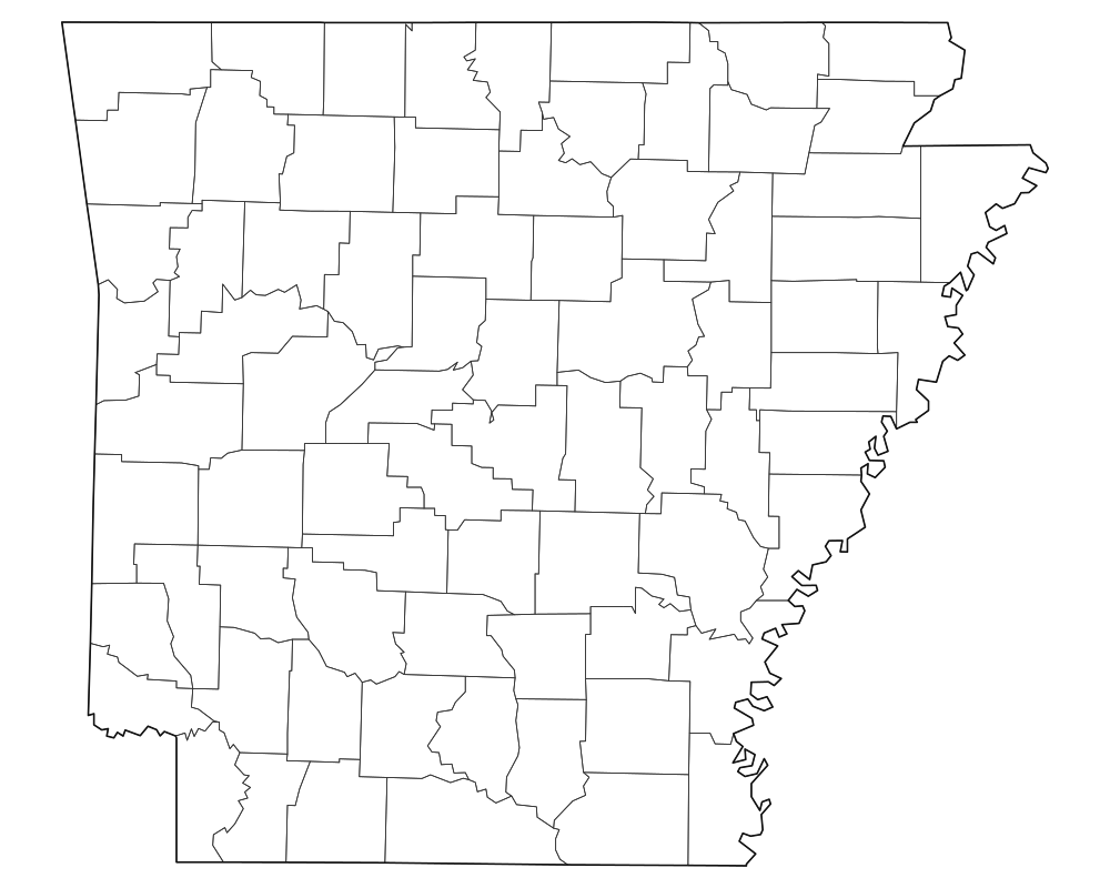
Arkansas Blank Map
Download high-resolution blank Arkansas state and county outline maps in vector SVG, print-ready PDF, and PNG formats. Includes county borders and major city anchors.
 Popular
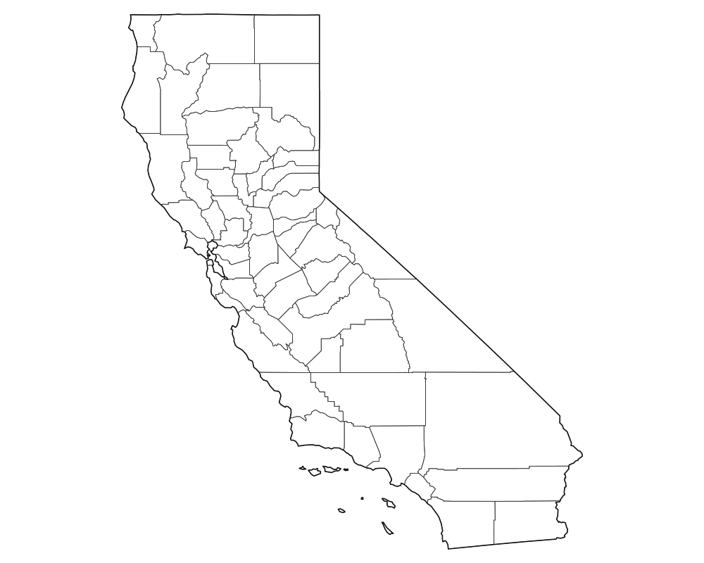
California Blank Map
Download high-resolution blank California state and county outline maps in vector SVG, print-ready PDF, and PNG formats. Includes county borders and major city anchors.
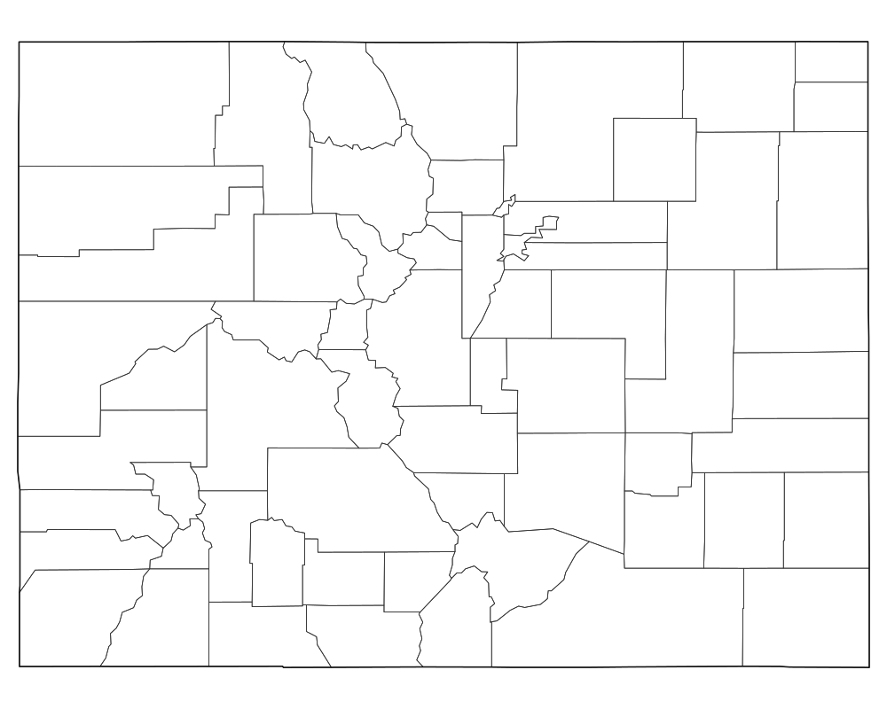
Colorado Blank Map
Download high-resolution blank Colorado state and county outline maps in vector SVG, print-ready PDF, and PNG formats. Includes county borders and major city anchors.
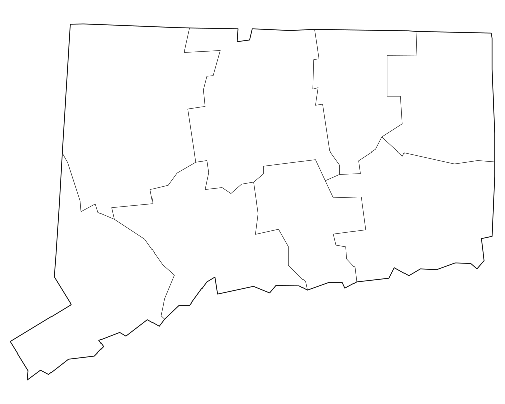
Connecticut Blank Map
Download high-resolution blank Connecticut state and county outline maps in vector SVG, print-ready PDF, and PNG formats. Includes county borders and major city anchors.
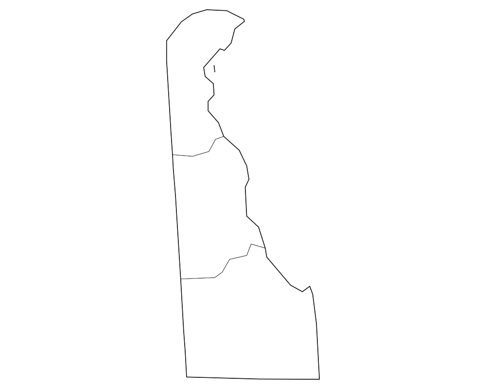
Delaware Blank Map
Download high-resolution blank Delaware state and county outline maps in vector SVG, print-ready PDF, and PNG formats. Includes county borders and major city anchors.
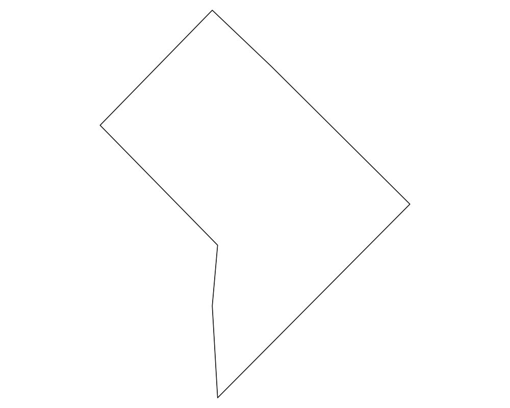
District of Columbia Blank Map
Download high-resolution blank District of Columbia state and county outline maps in vector SVG, print-ready PDF, and PNG formats. Includes county borders and major city anchors.
 Popular
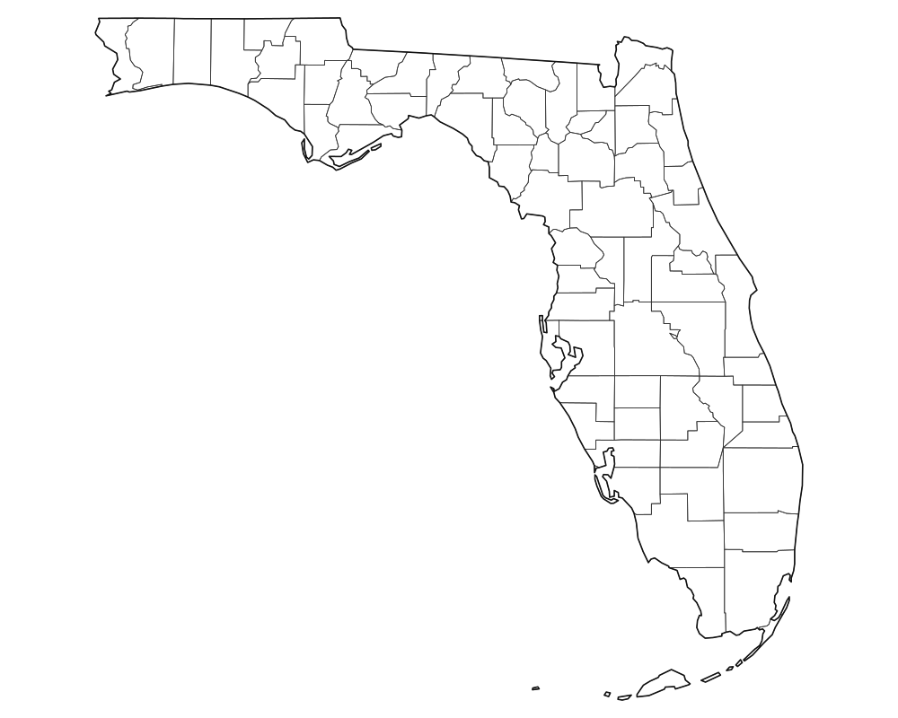
Florida Blank Map
Download high-resolution blank Florida state and county outline maps in vector SVG, print-ready PDF, and PNG formats. Includes county borders and major city anchors.
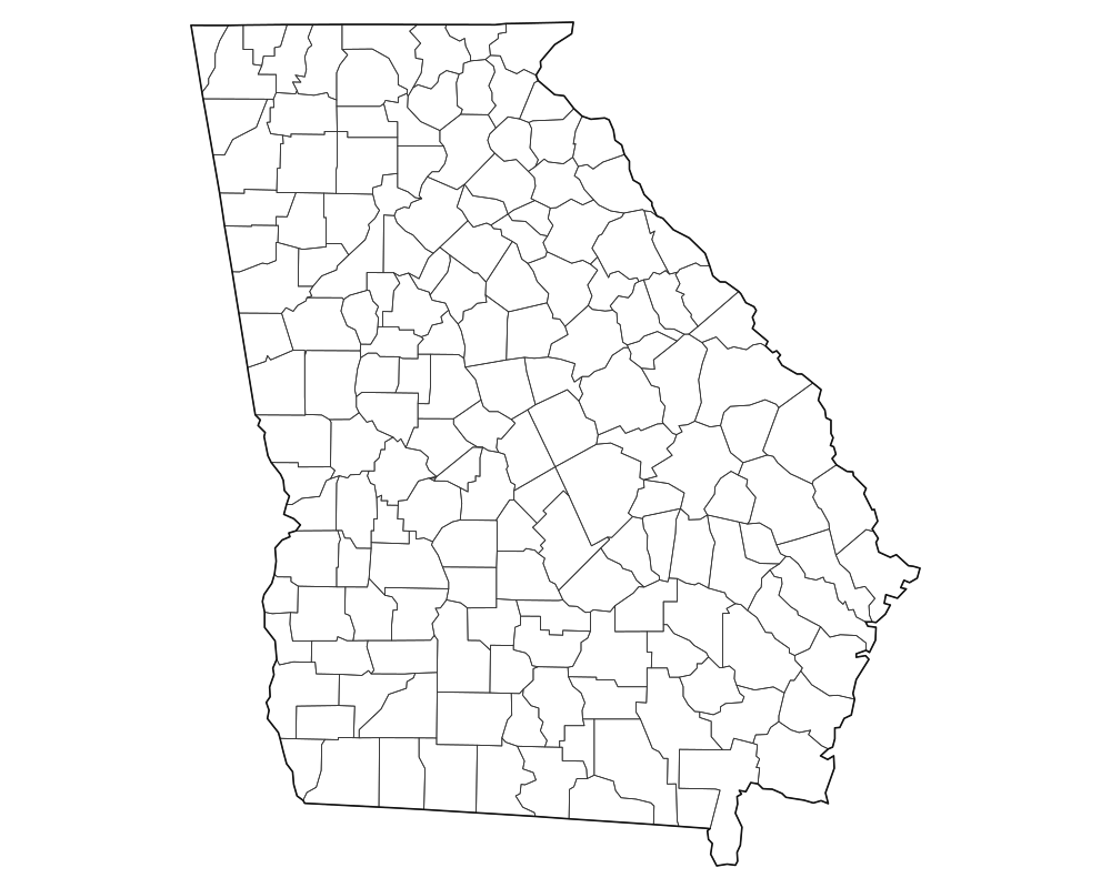
Georgia Blank Map
Download high-resolution blank Georgia state and county outline maps in vector SVG, print-ready PDF, and PNG formats. Includes county borders and major city anchors.
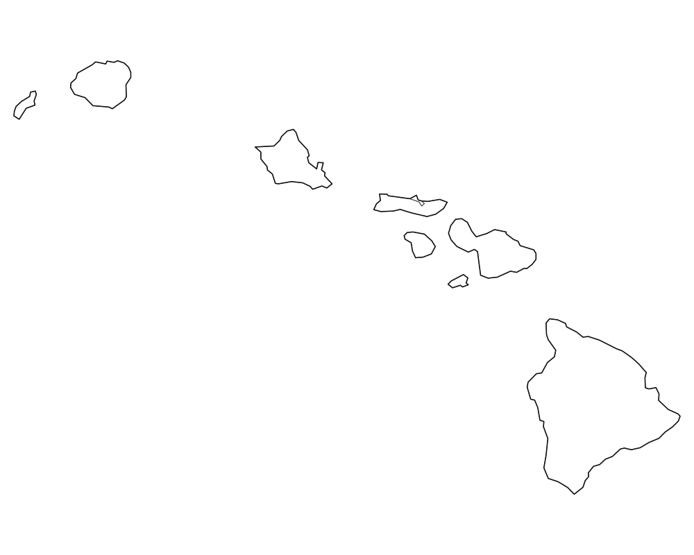
Hawaii Blank Map
Download high-resolution blank Hawaii state and county outline maps in vector SVG, print-ready PDF, and PNG formats. Includes county borders and major city anchors.
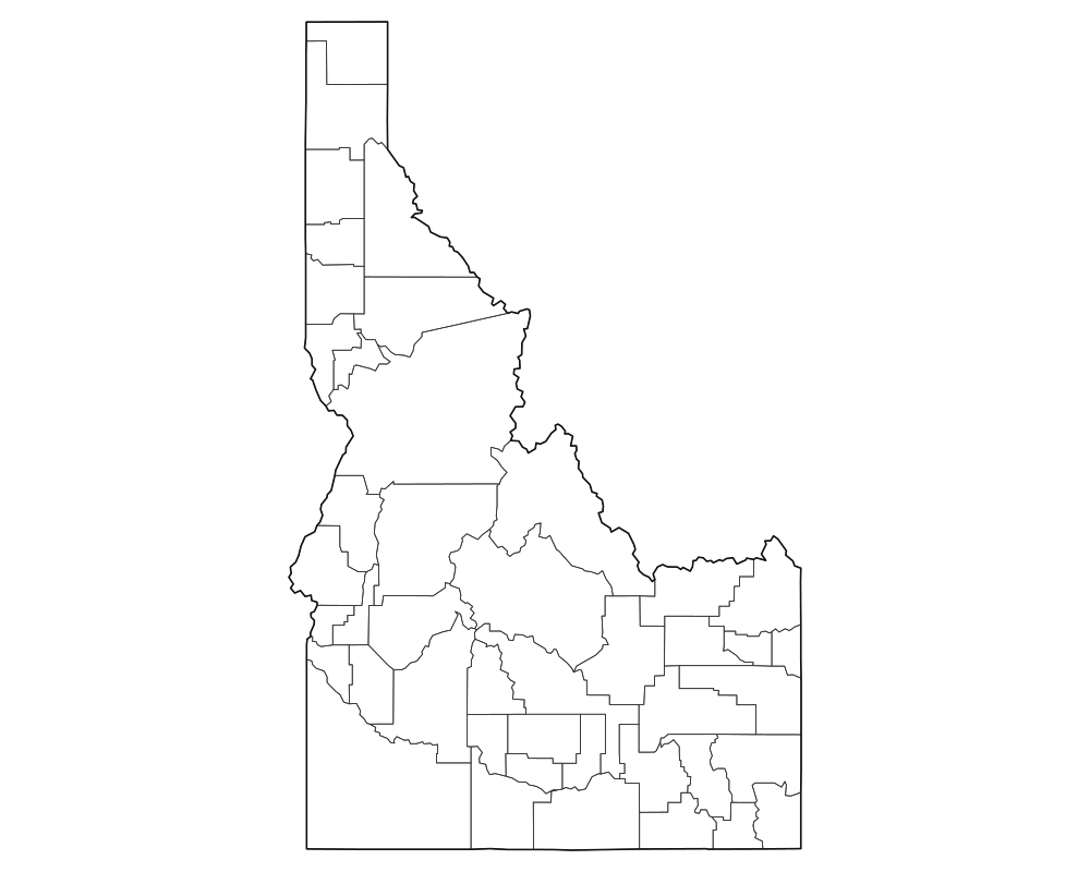
Idaho Blank Map
Download high-resolution blank Idaho state and county outline maps in vector SVG, print-ready PDF, and PNG formats. Includes county borders and major city anchors.
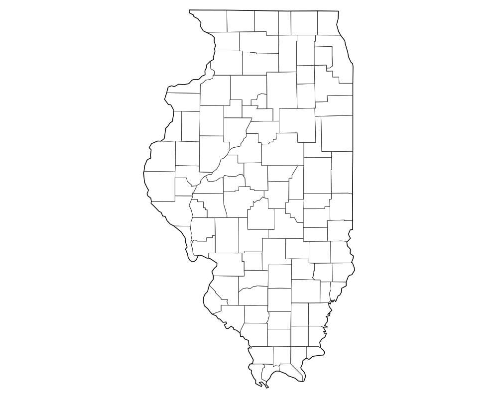
Illinois Blank Map
Download high-resolution blank Illinois state and county outline maps in vector SVG, print-ready PDF, and PNG formats. Includes county borders and major city anchors.
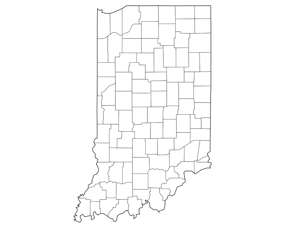
Indiana Blank Map
Download high-resolution blank Indiana state and county outline maps in vector SVG, print-ready PDF, and PNG formats. Includes county borders and major city anchors.
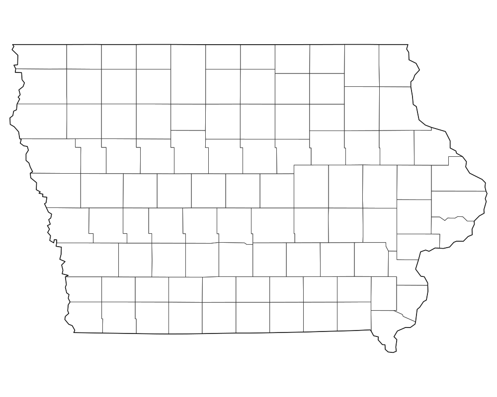
Iowa Blank Map
Download high-resolution blank Iowa state and county outline maps in vector SVG, print-ready PDF, and PNG formats. Includes county borders and major city anchors.
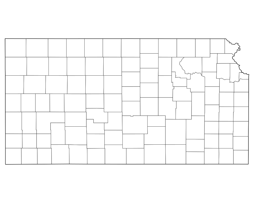
Kansas Blank Map
Download high-resolution blank Kansas state and county outline maps in vector SVG, print-ready PDF, and PNG formats. Includes county borders and major city anchors.
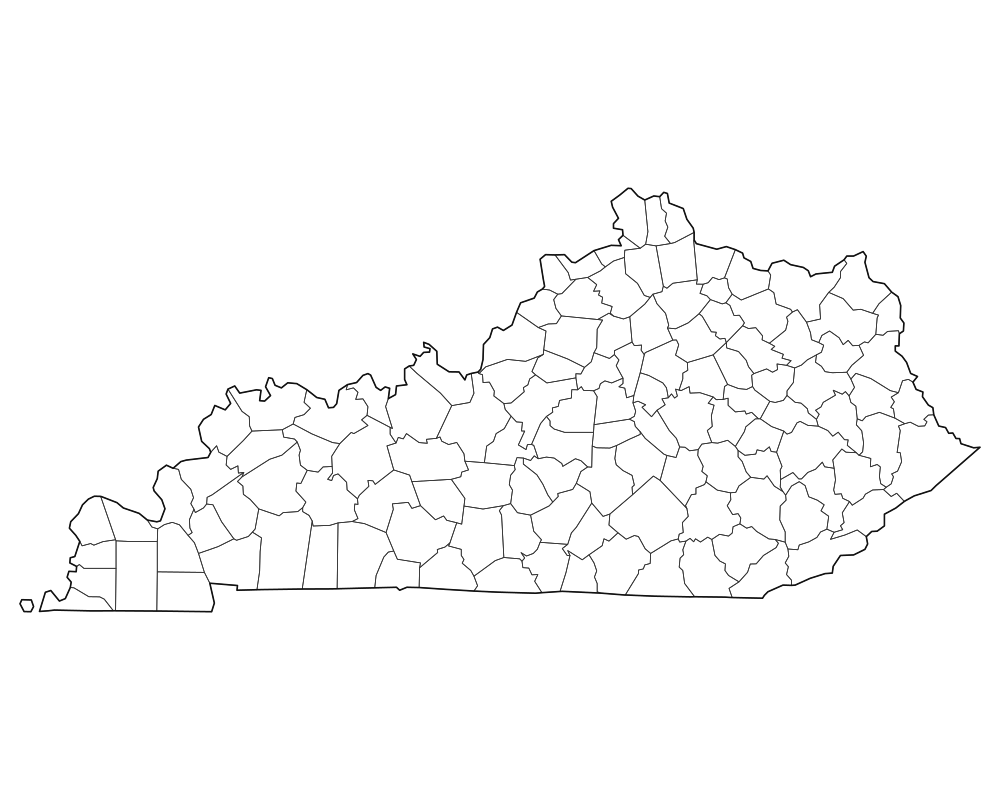
Kentucky Blank Map
Download high-resolution blank Kentucky state and county outline maps in vector SVG, print-ready PDF, and PNG formats. Includes county borders and major city anchors.
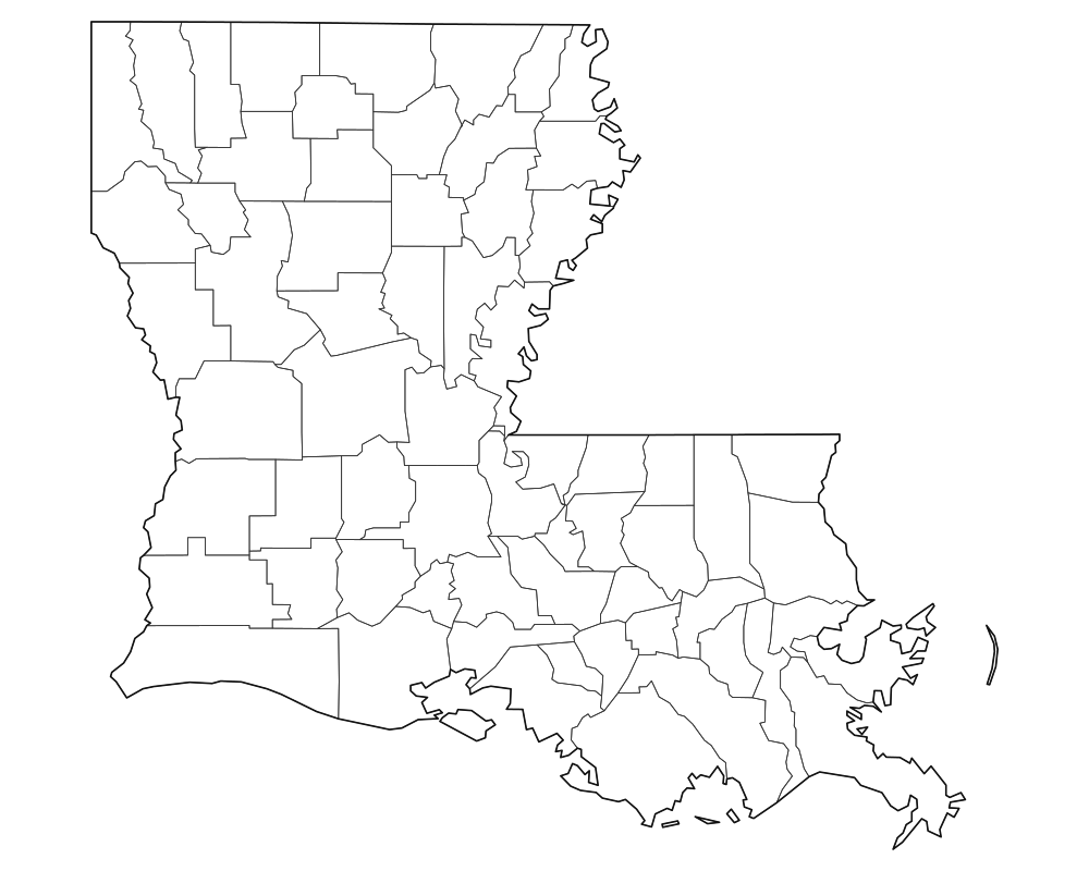
Louisiana Blank Map
Download high-resolution blank Louisiana state and county outline maps in vector SVG, print-ready PDF, and PNG formats. Includes county borders and major city anchors.
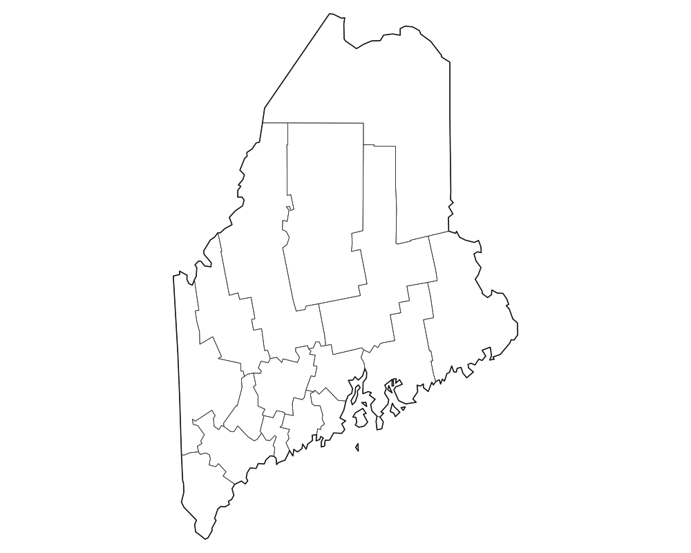
Maine Blank Map
Download high-resolution blank Maine state and county outline maps in vector SVG, print-ready PDF, and PNG formats. Includes county borders and major city anchors.

Maryland Blank Map
Download high-resolution blank Maryland state and county outline maps in vector SVG, print-ready PDF, and PNG formats. Includes county borders and major city anchors.
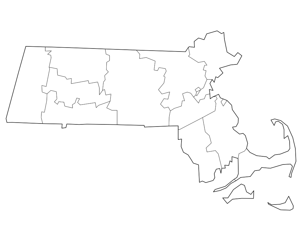
Massachusetts Blank Map
Download high-resolution blank Massachusetts state and county outline maps in vector SVG, print-ready PDF, and PNG formats. Includes county borders and major city anchors.
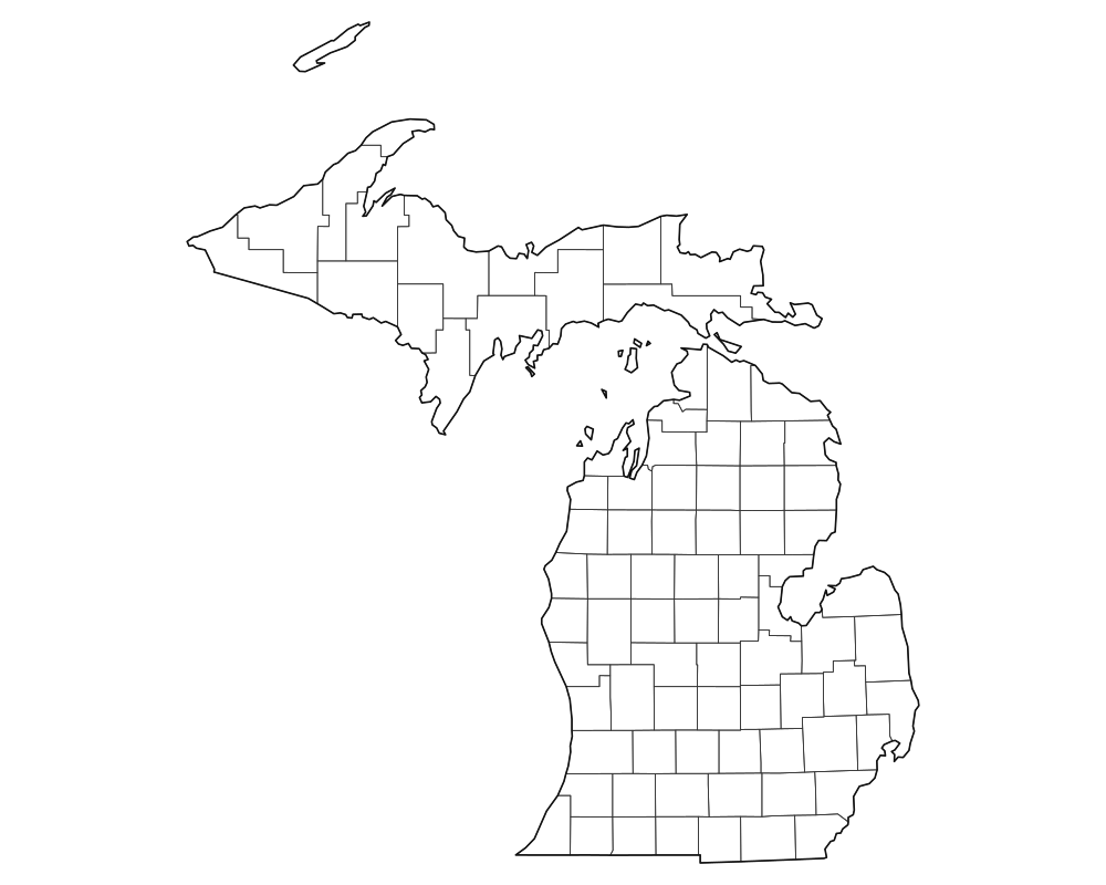
Michigan Blank Map
Download high-resolution blank Michigan state and county outline maps in vector SVG, print-ready PDF, and PNG formats. Includes county borders and major city anchors.
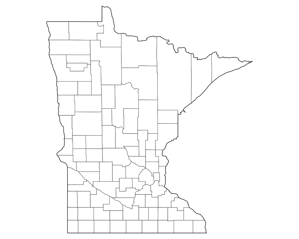
Minnesota Blank Map
Download high-resolution blank Minnesota state and county outline maps in vector SVG, print-ready PDF, and PNG formats. Includes county borders and major city anchors.

Mississippi Blank Map
Download high-resolution blank Mississippi state and county outline maps in vector SVG, print-ready PDF, and PNG formats. Includes county borders and major city anchors.
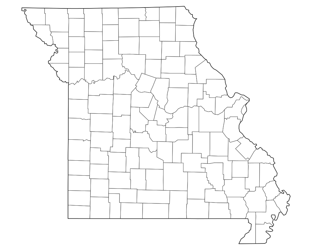
Missouri Blank Map
Download high-resolution blank Missouri state and county outline maps in vector SVG, print-ready PDF, and PNG formats. Includes county borders and major city anchors.
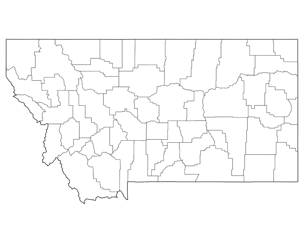
Montana Blank Map
Download high-resolution blank Montana state and county outline maps in vector SVG, print-ready PDF, and PNG formats. Includes county borders and major city anchors.
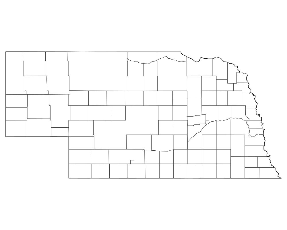
Nebraska Blank Map
Download high-resolution blank Nebraska state and county outline maps in vector SVG, print-ready PDF, and PNG formats. Includes county borders and major city anchors.
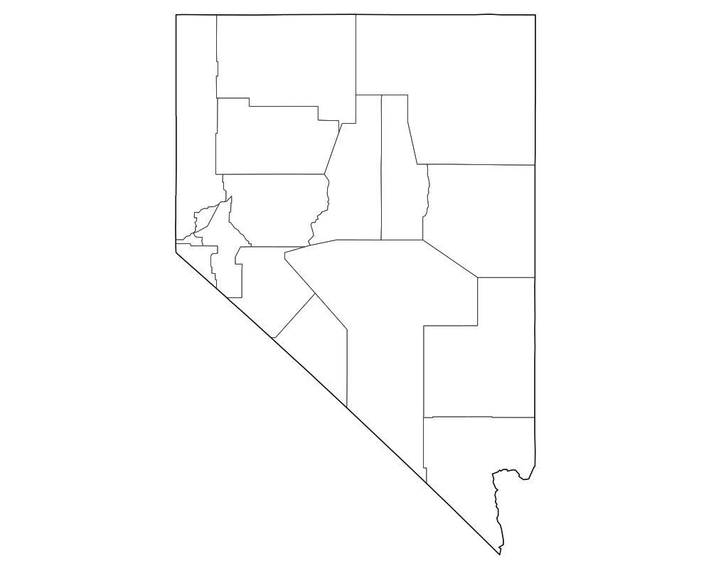
Nevada Blank Map
Download high-resolution blank Nevada state and county outline maps in vector SVG, print-ready PDF, and PNG formats. Includes county borders and major city anchors.
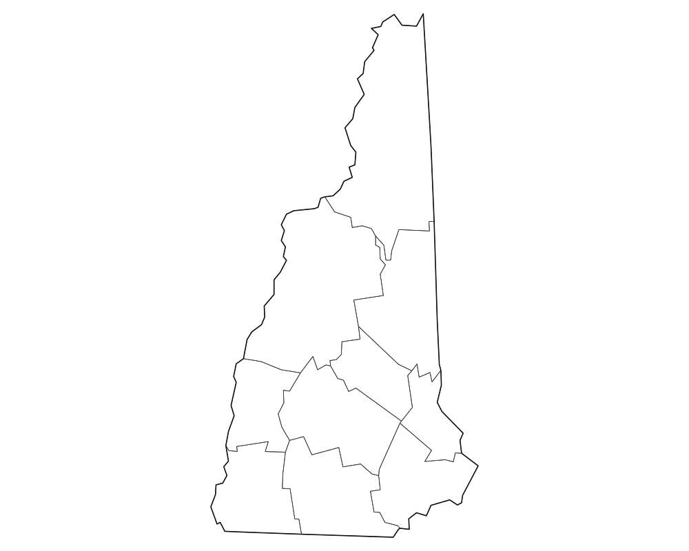
New Hampshire Blank Map
Download high-resolution blank New Hampshire state and county outline maps in vector SVG, print-ready PDF, and PNG formats. Includes county borders and major city anchors.

New Jersey Blank Map
Download high-resolution blank New Jersey state and county outline maps in vector SVG, print-ready PDF, and PNG formats. Includes county borders and major city anchors.
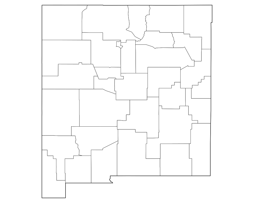
New Mexico Blank Map
Download high-resolution blank New Mexico state and county outline maps in vector SVG, print-ready PDF, and PNG formats. Includes county borders and major city anchors.
 Popular
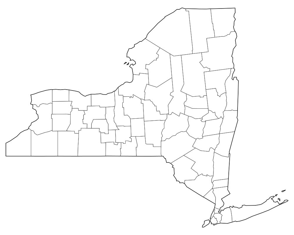
New York Blank Map
Download high-resolution blank New York state and county outline maps in vector SVG, print-ready PDF, and PNG formats. Includes county borders and major city anchors.
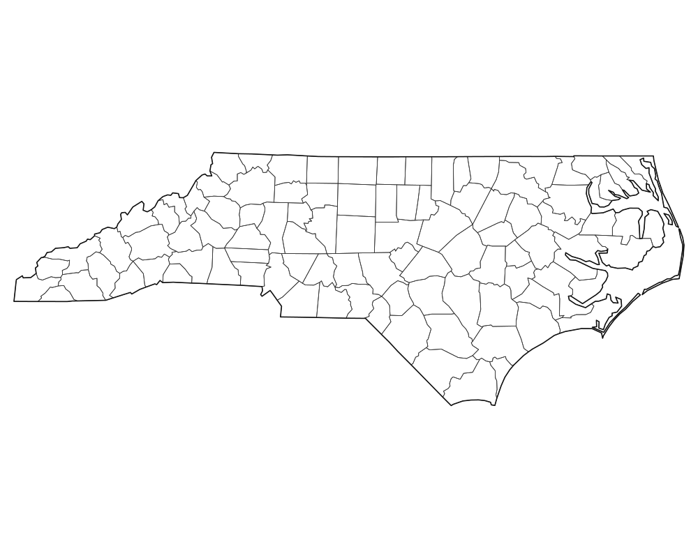
North Carolina Blank Map
Download high-resolution blank North Carolina state and county outline maps in vector SVG, print-ready PDF, and PNG formats. Includes county borders and major city anchors.
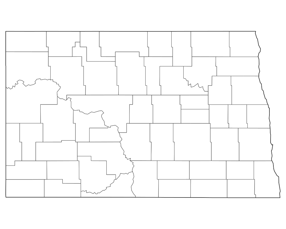
North Dakota Blank Map
Download high-resolution blank North Dakota state and county outline maps in vector SVG, print-ready PDF, and PNG formats. Includes county borders and major city anchors.
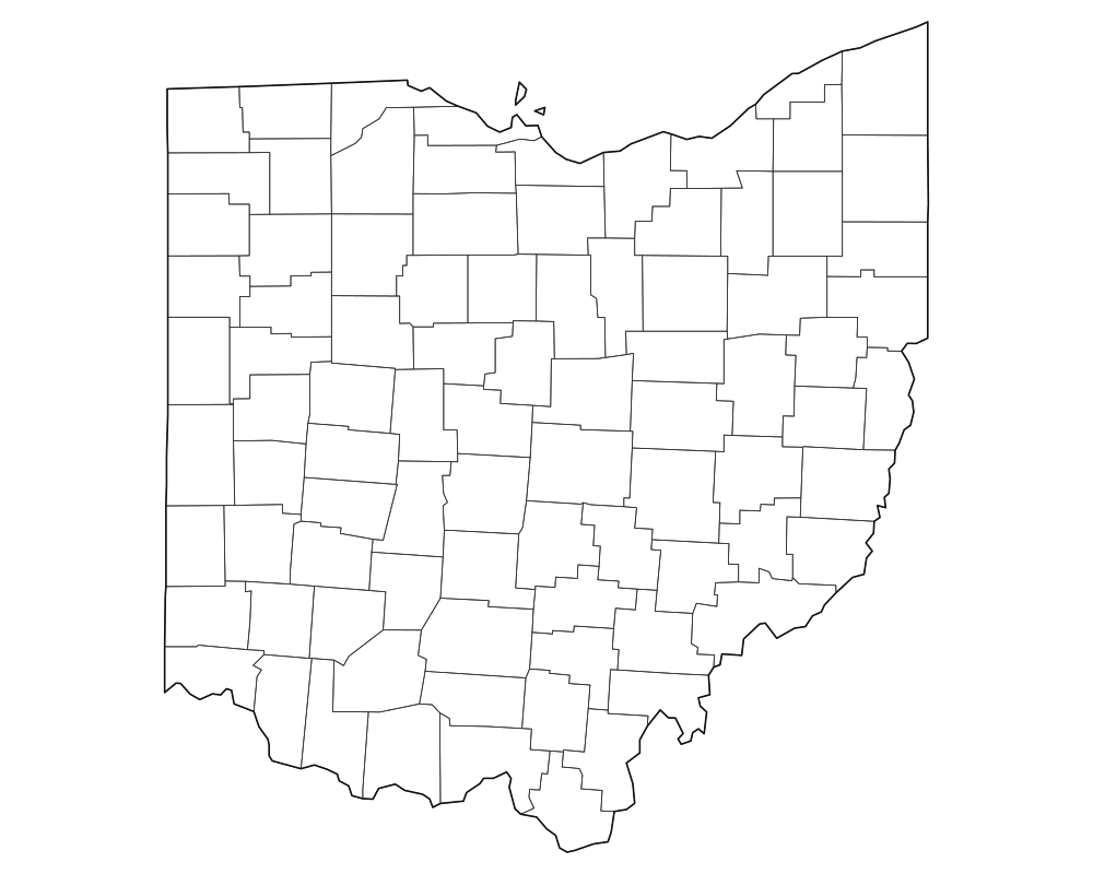
Ohio Blank Map
Download high-resolution blank Ohio state and county outline maps in vector SVG, print-ready PDF, and PNG formats. Includes county borders and major city anchors.
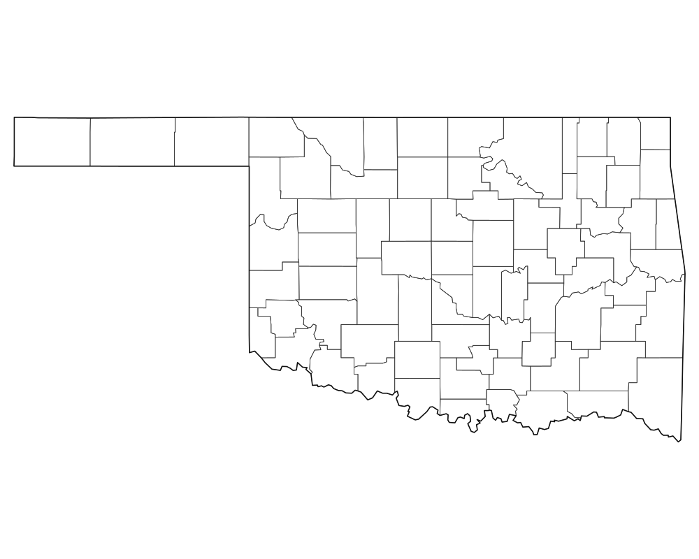
Oklahoma Blank Map
Download high-resolution blank Oklahoma state and county outline maps in vector SVG, print-ready PDF, and PNG formats. Includes county borders and major city anchors.
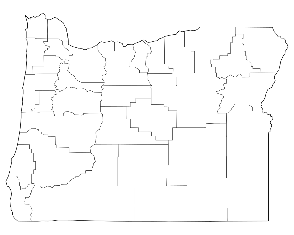
Oregon Blank Map
Download high-resolution blank Oregon state and county outline maps in vector SVG, print-ready PDF, and PNG formats. Includes county borders and major city anchors.
 Popular
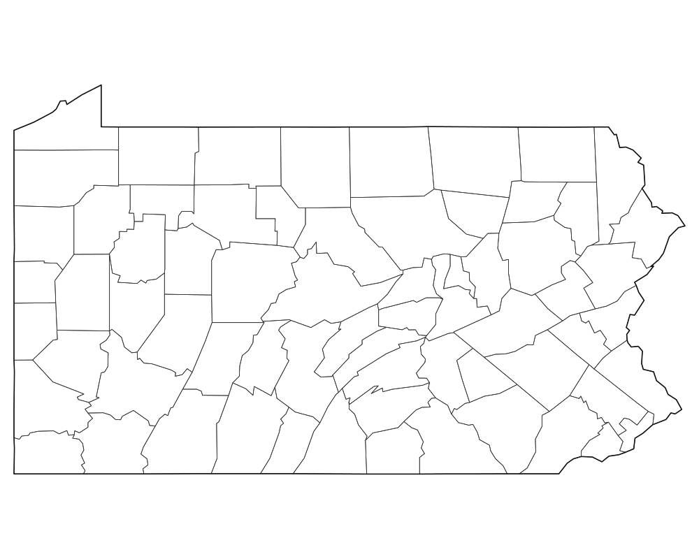
Pennsylvania Blank Map
Download high-resolution blank Pennsylvania state and county outline maps in vector SVG, print-ready PDF, and PNG formats. Includes county borders and major city anchors.
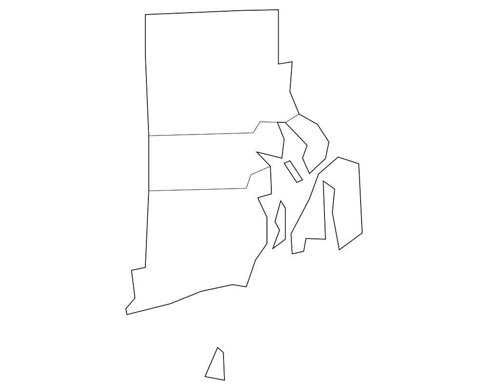
Rhode Island Blank Map
Download high-resolution blank Rhode Island state and county outline maps in vector SVG, print-ready PDF, and PNG formats. Includes county borders and major city anchors.
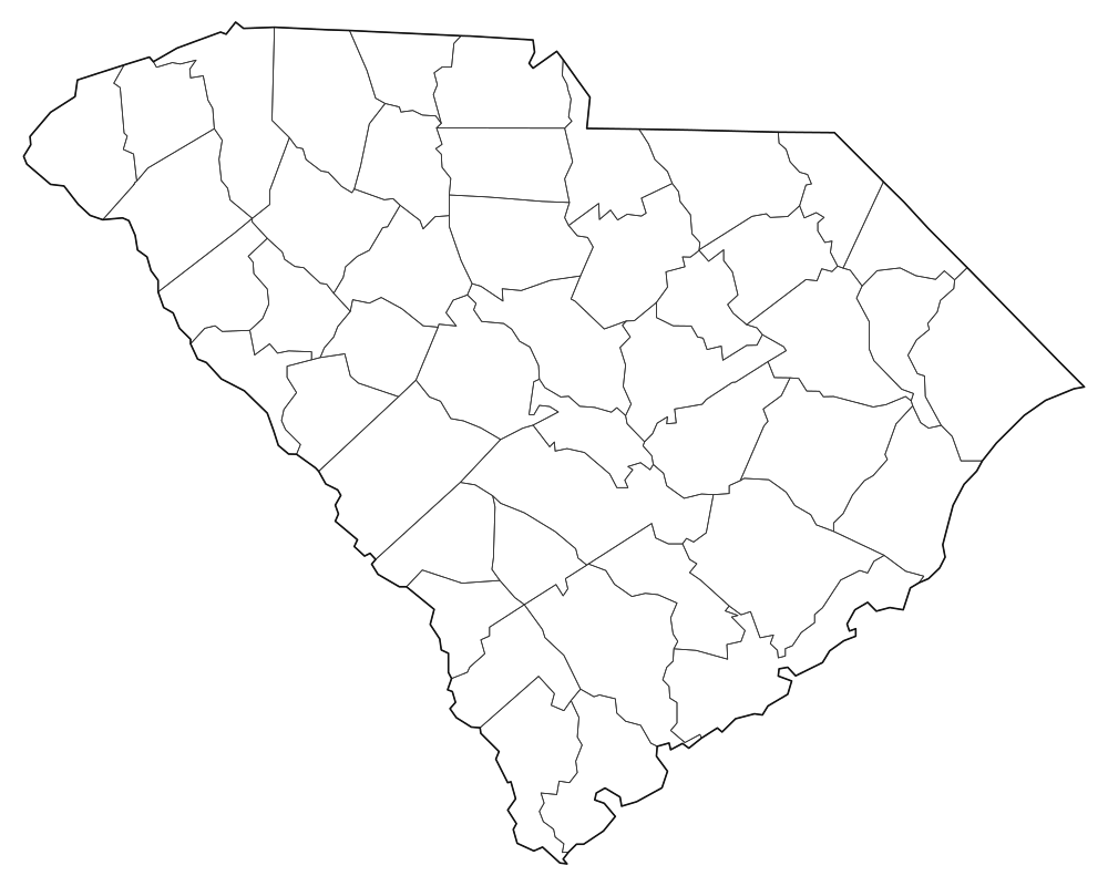
South Carolina Blank Map
Download high-resolution blank South Carolina state and county outline maps in vector SVG, print-ready PDF, and PNG formats. Includes county borders and major city anchors.
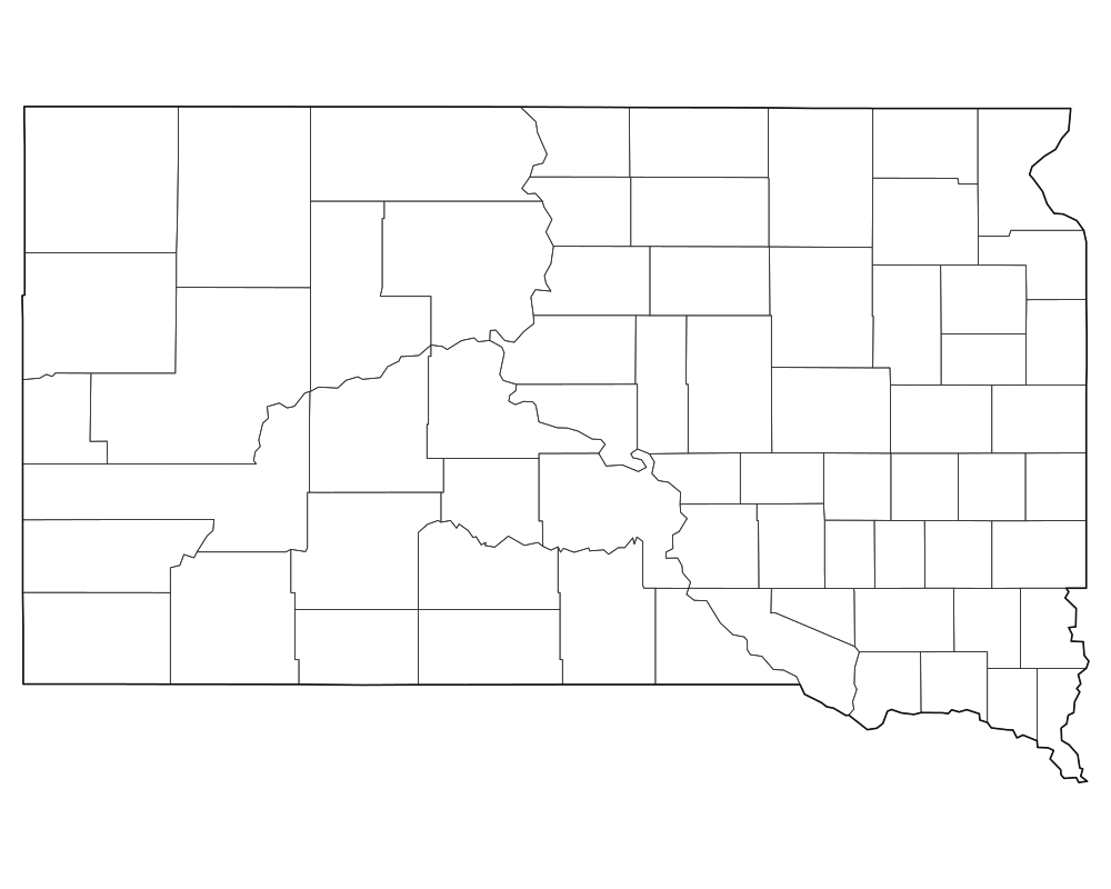
South Dakota Blank Map
Download high-resolution blank South Dakota state and county outline maps in vector SVG, print-ready PDF, and PNG formats. Includes county borders and major city anchors.
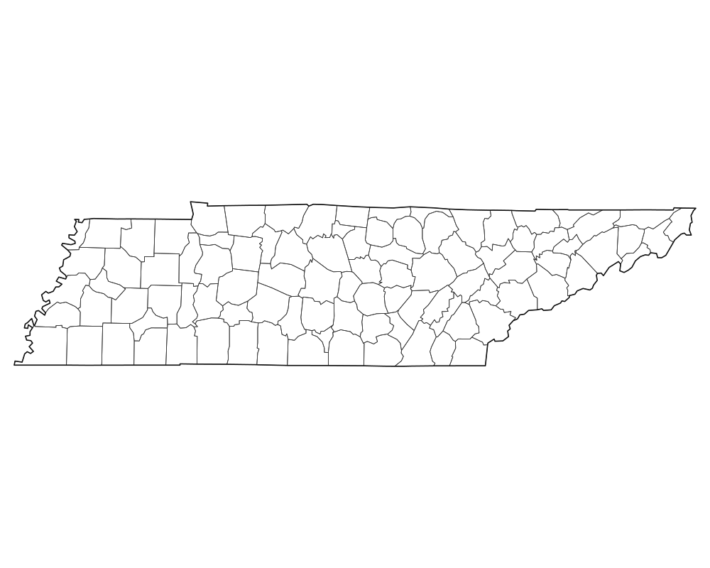
Tennessee Blank Map
Download high-resolution blank Tennessee state and county outline maps in vector SVG, print-ready PDF, and PNG formats. Includes county borders and major city anchors.
 Popular
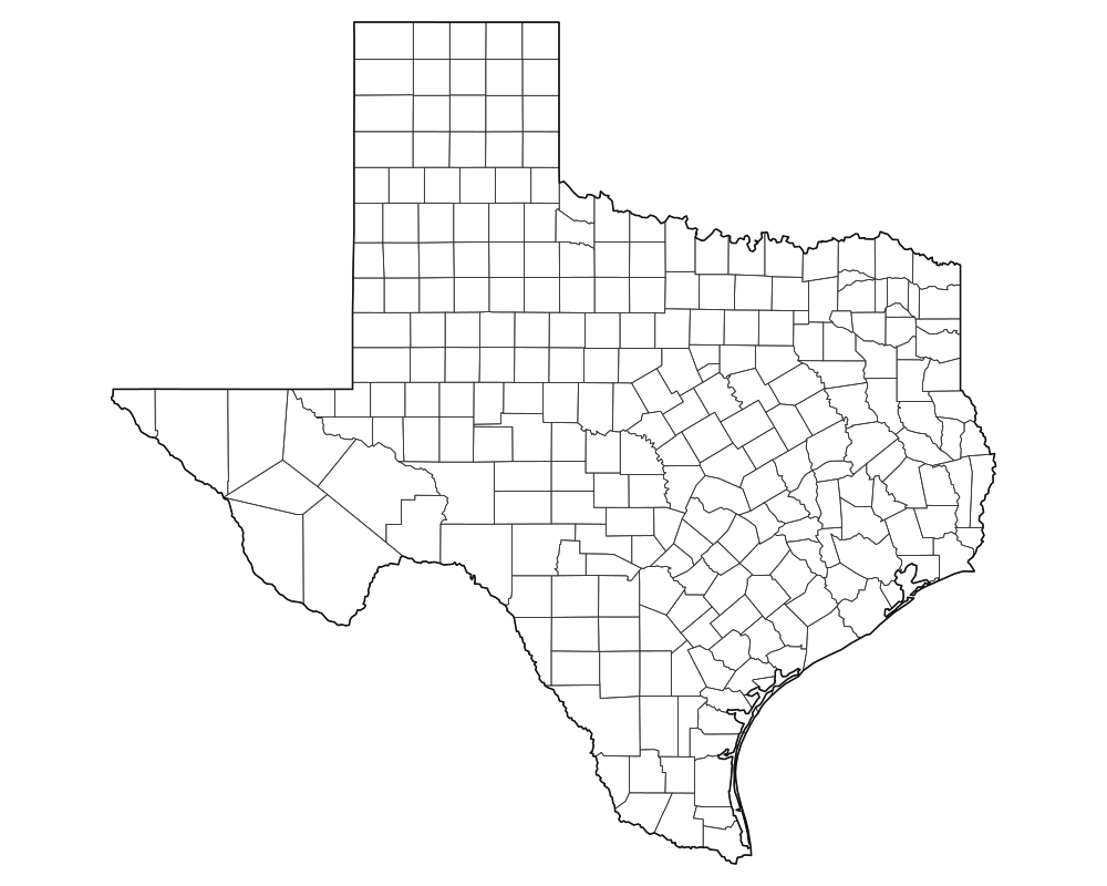
Texas Blank Map
Download high-resolution blank Texas state and county outline maps in vector SVG, print-ready PDF, and PNG formats. Includes county borders and major city anchors.
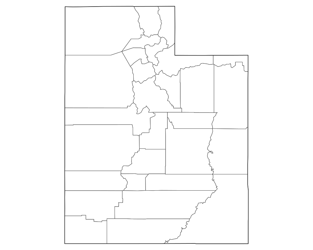
Utah Blank Map
Download high-resolution blank Utah state and county outline maps in vector SVG, print-ready PDF, and PNG formats. Includes county borders and major city anchors.
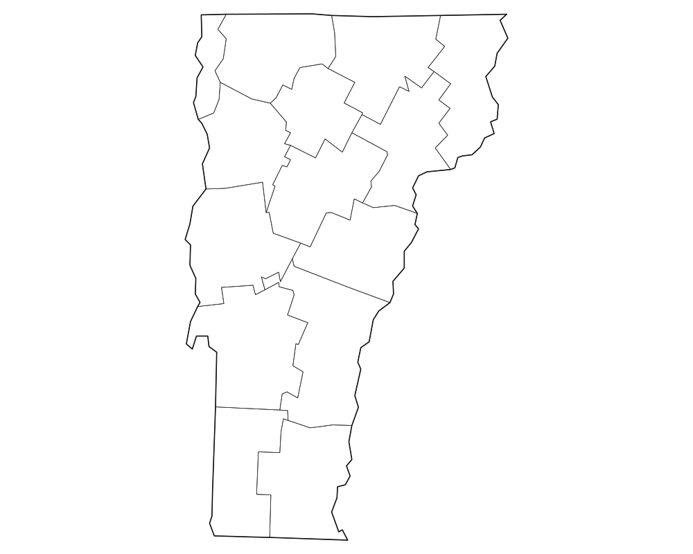
Vermont Blank Map
Download high-resolution blank Vermont state and county outline maps in vector SVG, print-ready PDF, and PNG formats. Includes county borders and major city anchors.
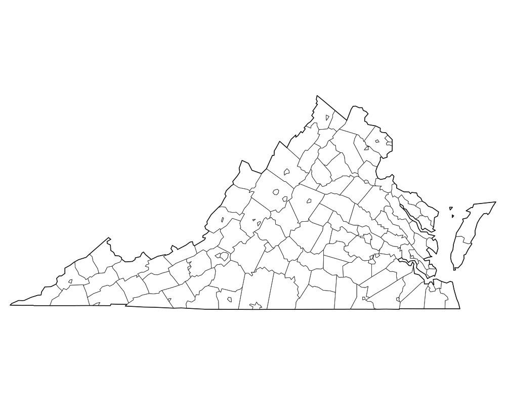
Virginia Blank Map
Download high-resolution blank Virginia state and county outline maps in vector SVG, print-ready PDF, and PNG formats. Includes county borders and major city anchors.
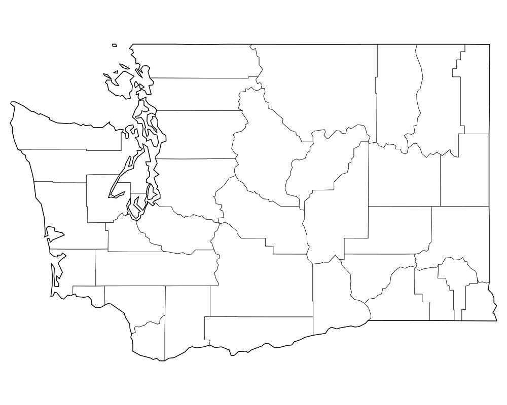
Washington Blank Map
Download high-resolution blank Washington state and county outline maps in vector SVG, print-ready PDF, and PNG formats. Includes county borders and major city anchors.
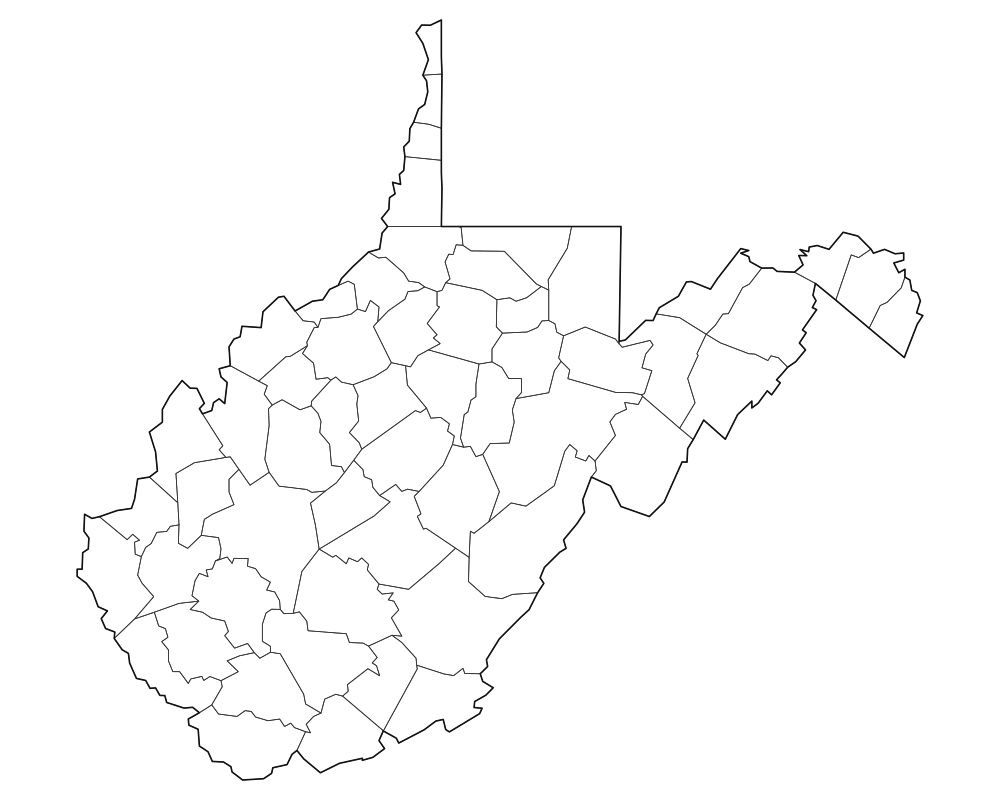
West Virginia Blank Map
Download high-resolution blank West Virginia state and county outline maps in vector SVG, print-ready PDF, and PNG formats. Includes county borders and major city anchors.
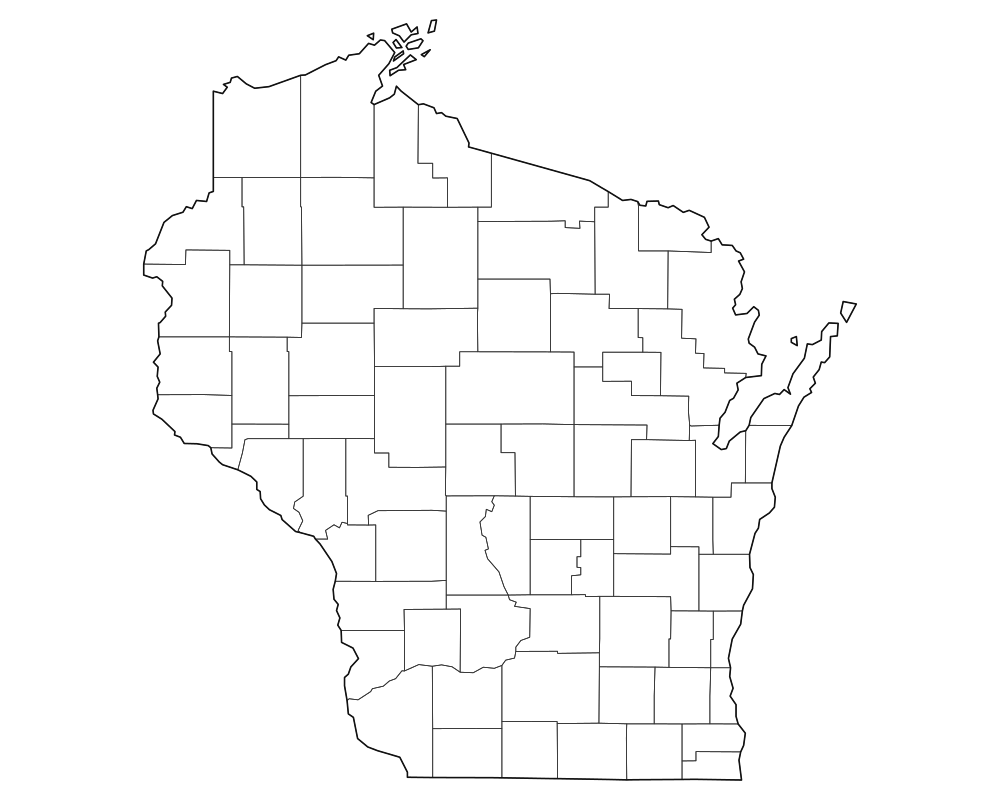
Wisconsin Blank Map
Download high-resolution blank Wisconsin state and county outline maps in vector SVG, print-ready PDF, and PNG formats. Includes county borders and major city anchors.
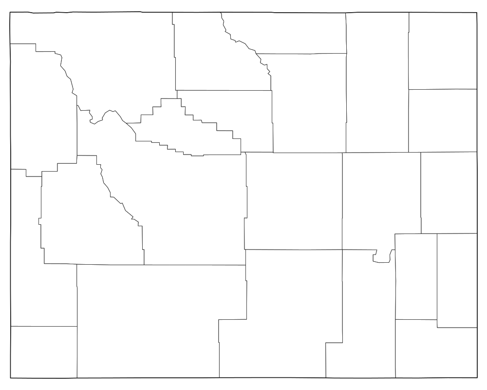
Wyoming Blank Map
Download high-resolution blank Wyoming state and county outline maps in vector SVG, print-ready PDF, and PNG formats. Includes county borders and major city anchors.
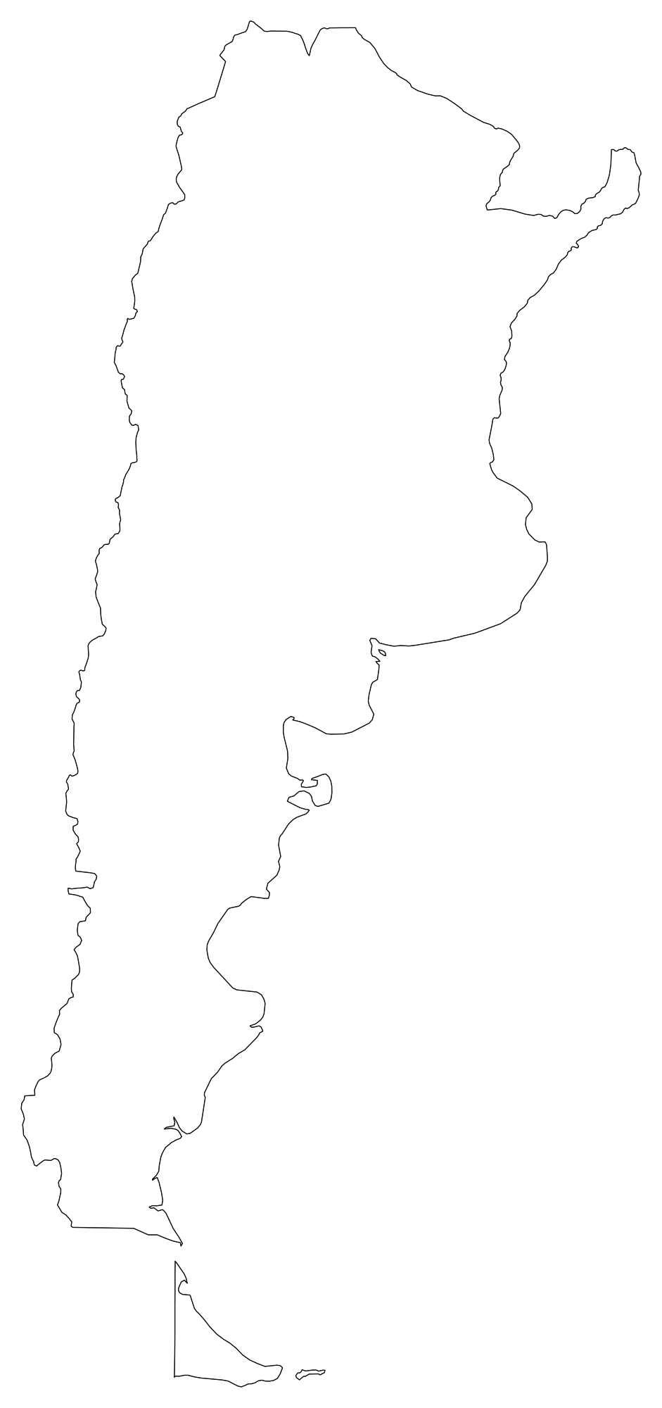
Argentina Blank Map
Download high-resolution blank Argentina map outlines with administrative borders in vector SVG, print-ready PDF, and PNG. Free for classroom quizzes, presentations, and research.
 Popular
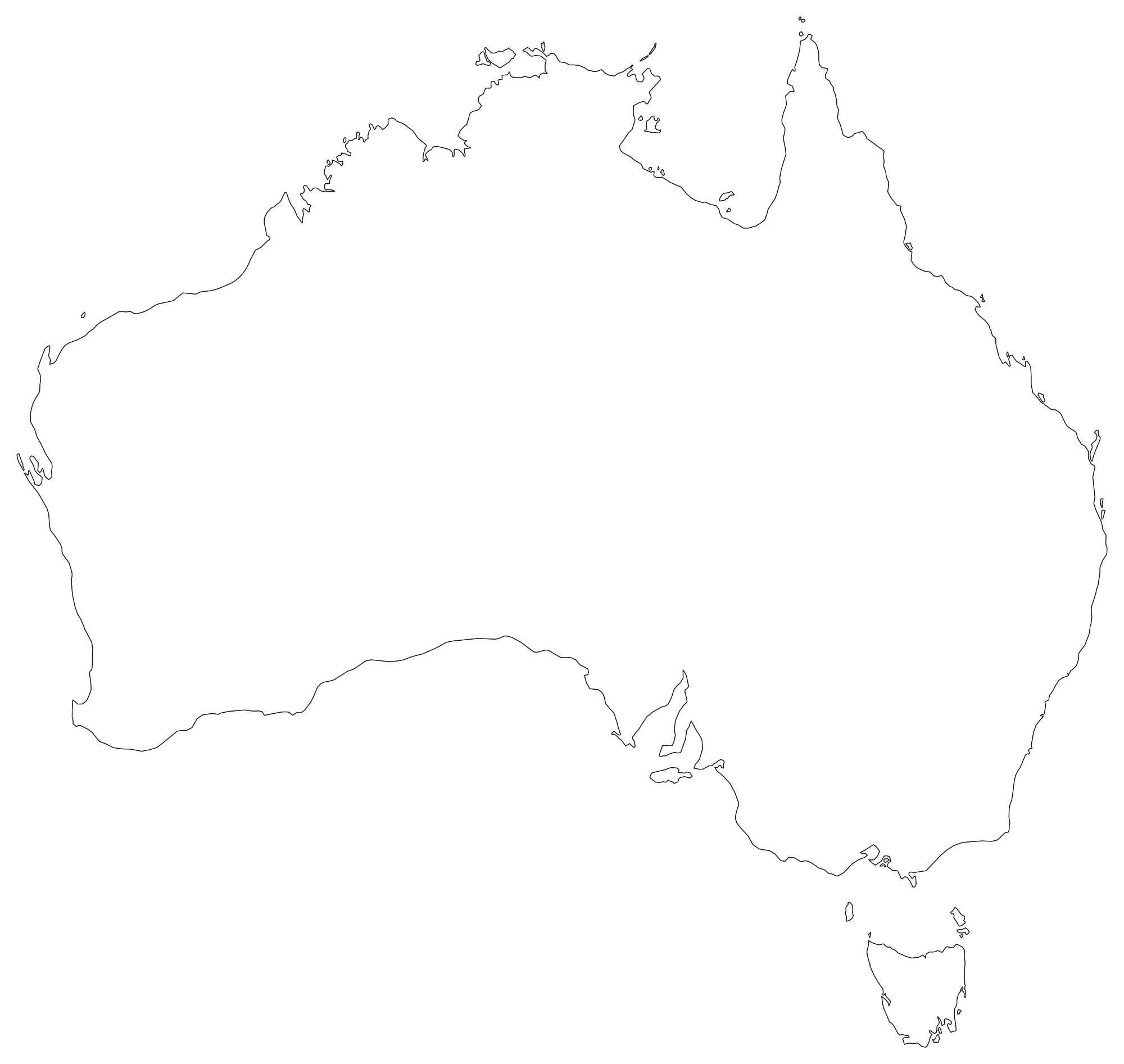
Australia Blank Map
Download high-resolution blank Australia map outlines with administrative borders in vector SVG, print-ready PDF, and PNG. Free for classroom quizzes, presentations, and research.
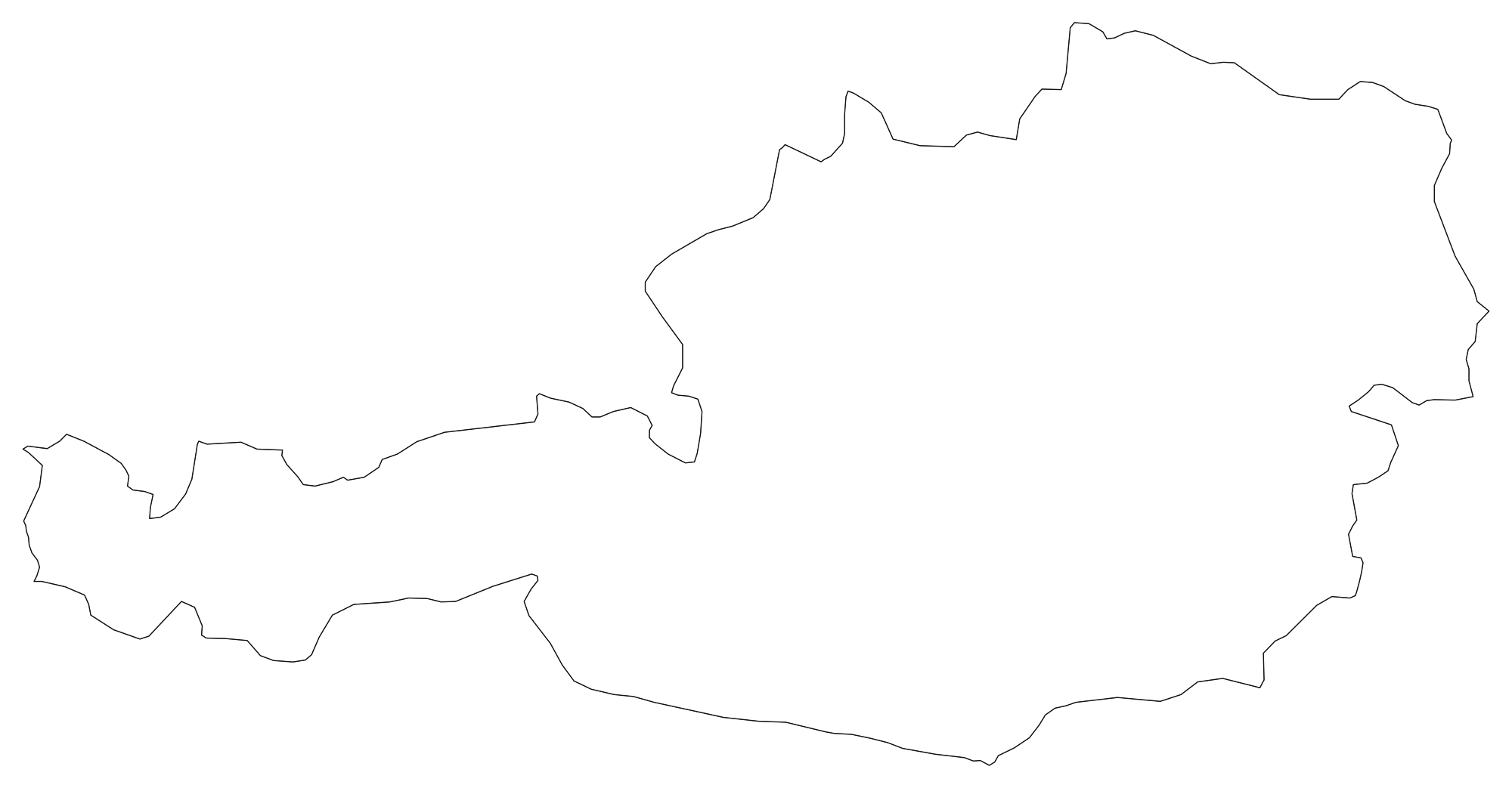
Austria Blank Map
Download high-resolution blank Austria map outlines with administrative borders in vector SVG, print-ready PDF, and PNG. Free for classroom quizzes, presentations, and research.
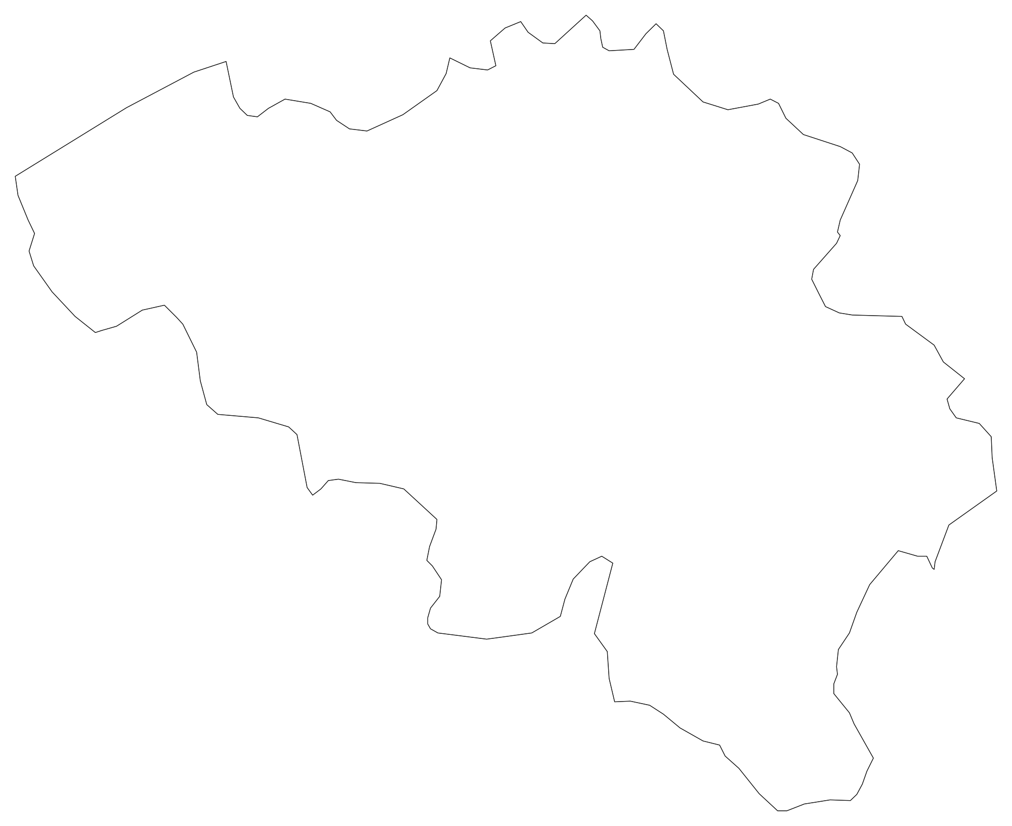
Belgium Blank Map
Download high-resolution blank Belgium map outlines with administrative borders in vector SVG, print-ready PDF, and PNG. Free for classroom quizzes, presentations, and research.
 Popular
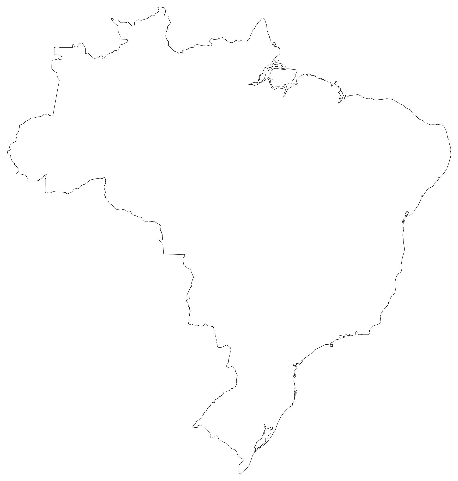
Brazil Blank Map
Download high-resolution blank Brazil map outlines with administrative borders in vector SVG, print-ready PDF, and PNG. Free for classroom quizzes, presentations, and research.
 Popular
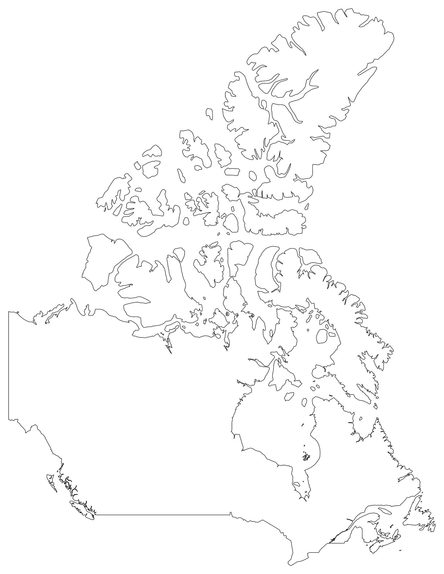
Canada Blank Map
Download high-resolution blank Canada map outlines with administrative borders in vector SVG, print-ready PDF, and PNG. Free for classroom quizzes, presentations, and research.
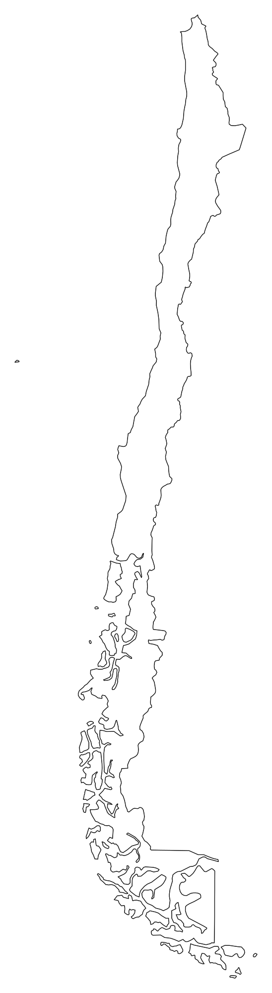
Chile Blank Map
Download high-resolution blank Chile map outlines with administrative borders in vector SVG, print-ready PDF, and PNG. Free for classroom quizzes, presentations, and research.
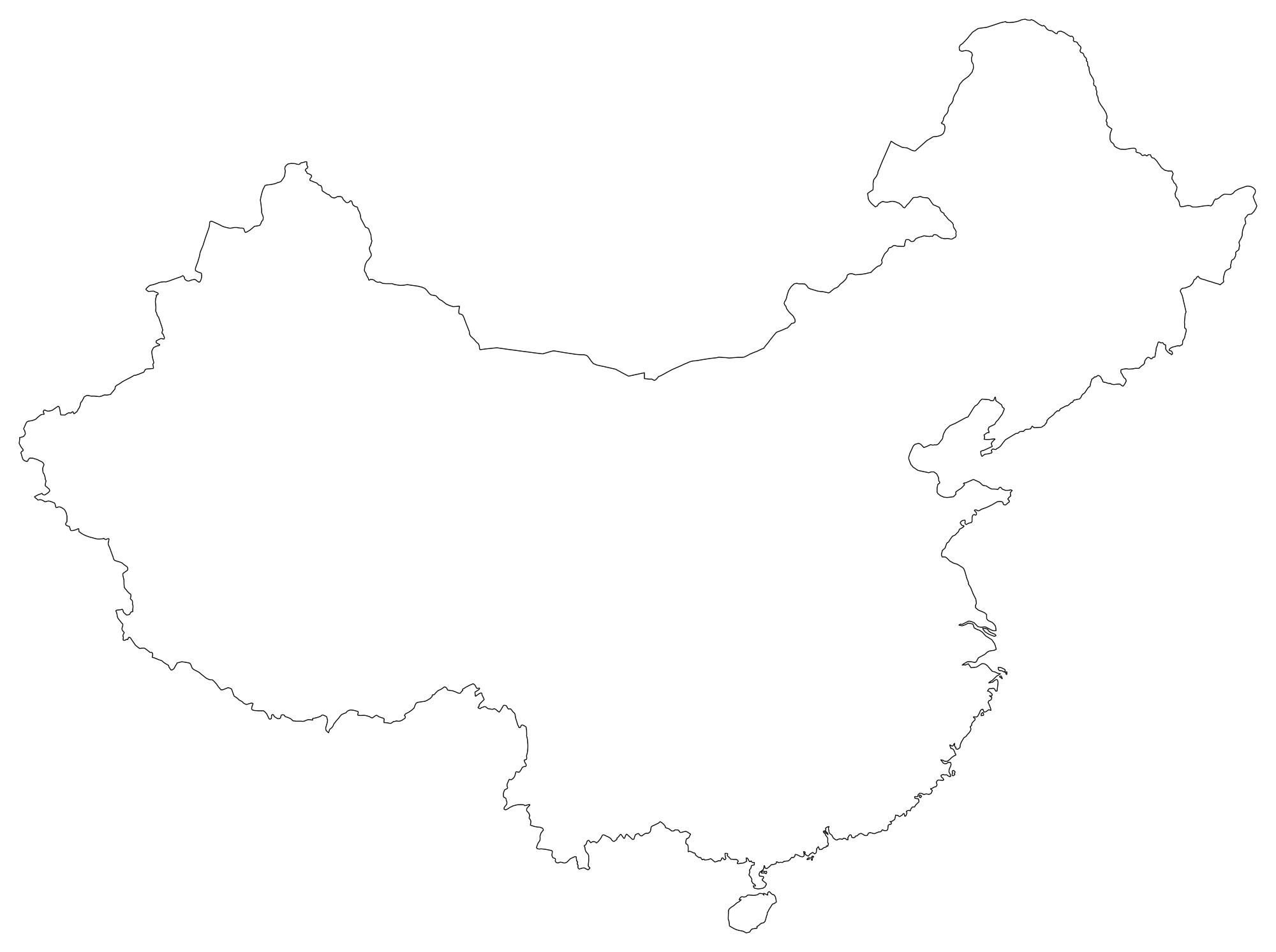
China Blank Map
Download high-resolution blank China map outlines with administrative borders in vector SVG, print-ready PDF, and PNG. Free for classroom quizzes, presentations, and research.
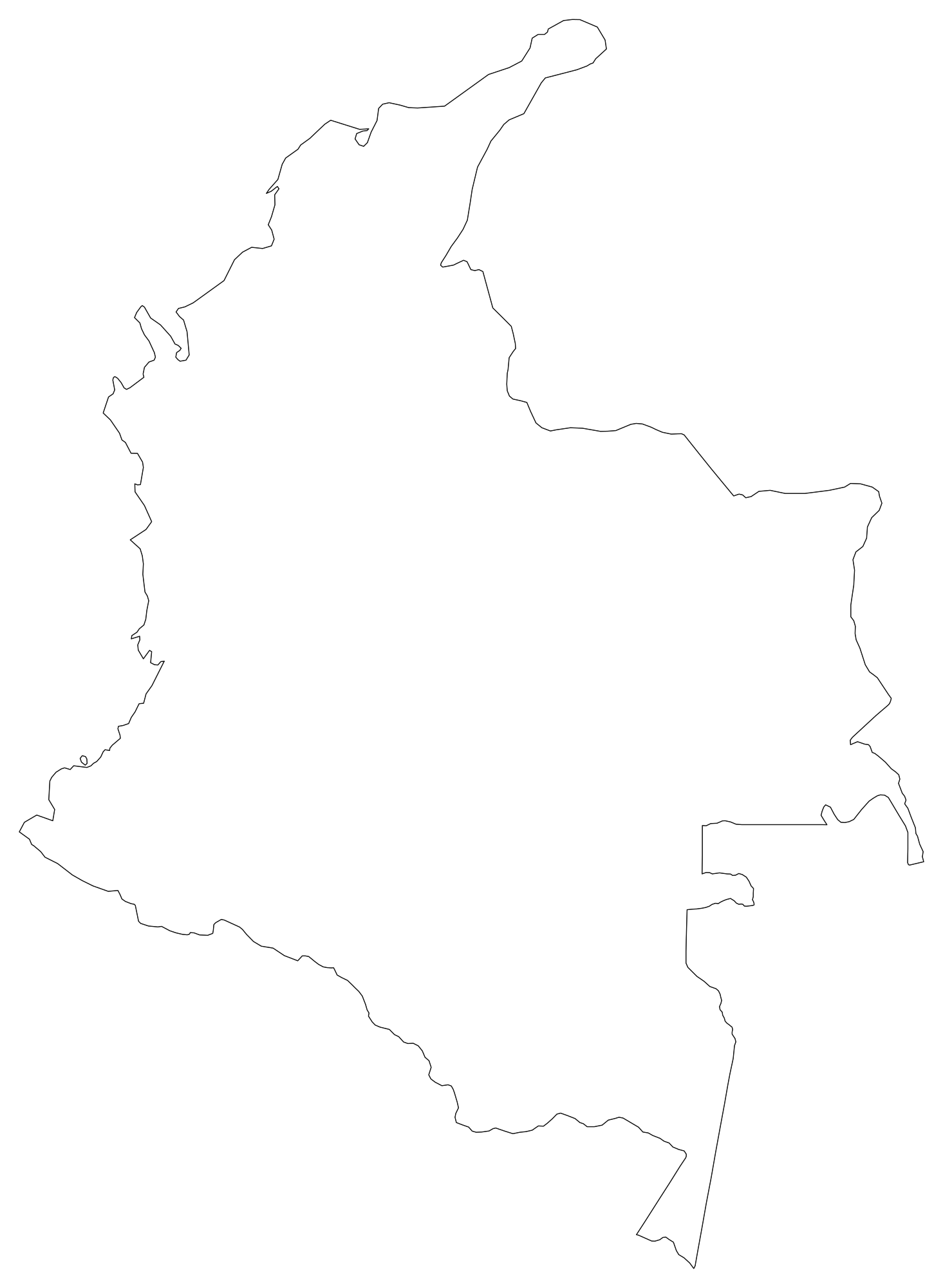
Colombia Blank Map
Download high-resolution blank Colombia map outlines with administrative borders in vector SVG, print-ready PDF, and PNG. Free for classroom quizzes, presentations, and research.
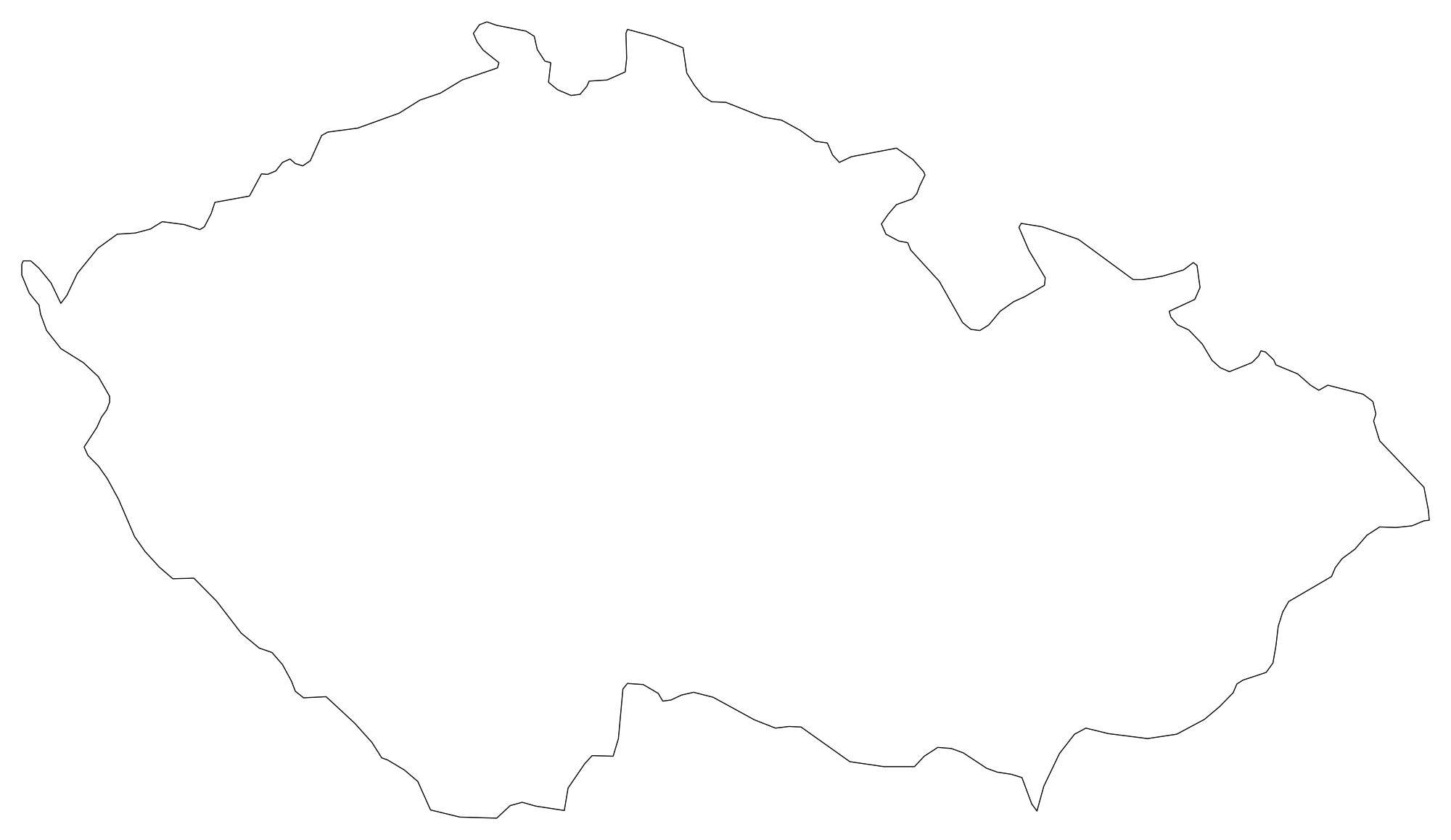
Czech Republic Blank Map
Download high-resolution blank Czech Republic map outlines with administrative borders in vector SVG, print-ready PDF, and PNG. Free for classroom quizzes, presentations, and research.
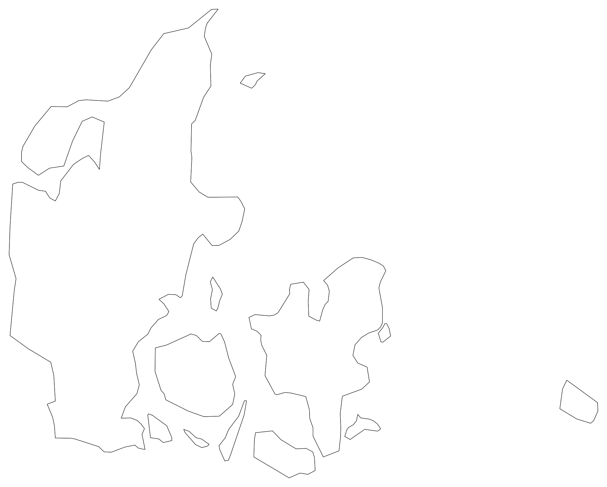
Denmark Blank Map
Download high-resolution blank Denmark map outlines with administrative borders in vector SVG, print-ready PDF, and PNG. Free for classroom quizzes, presentations, and research.
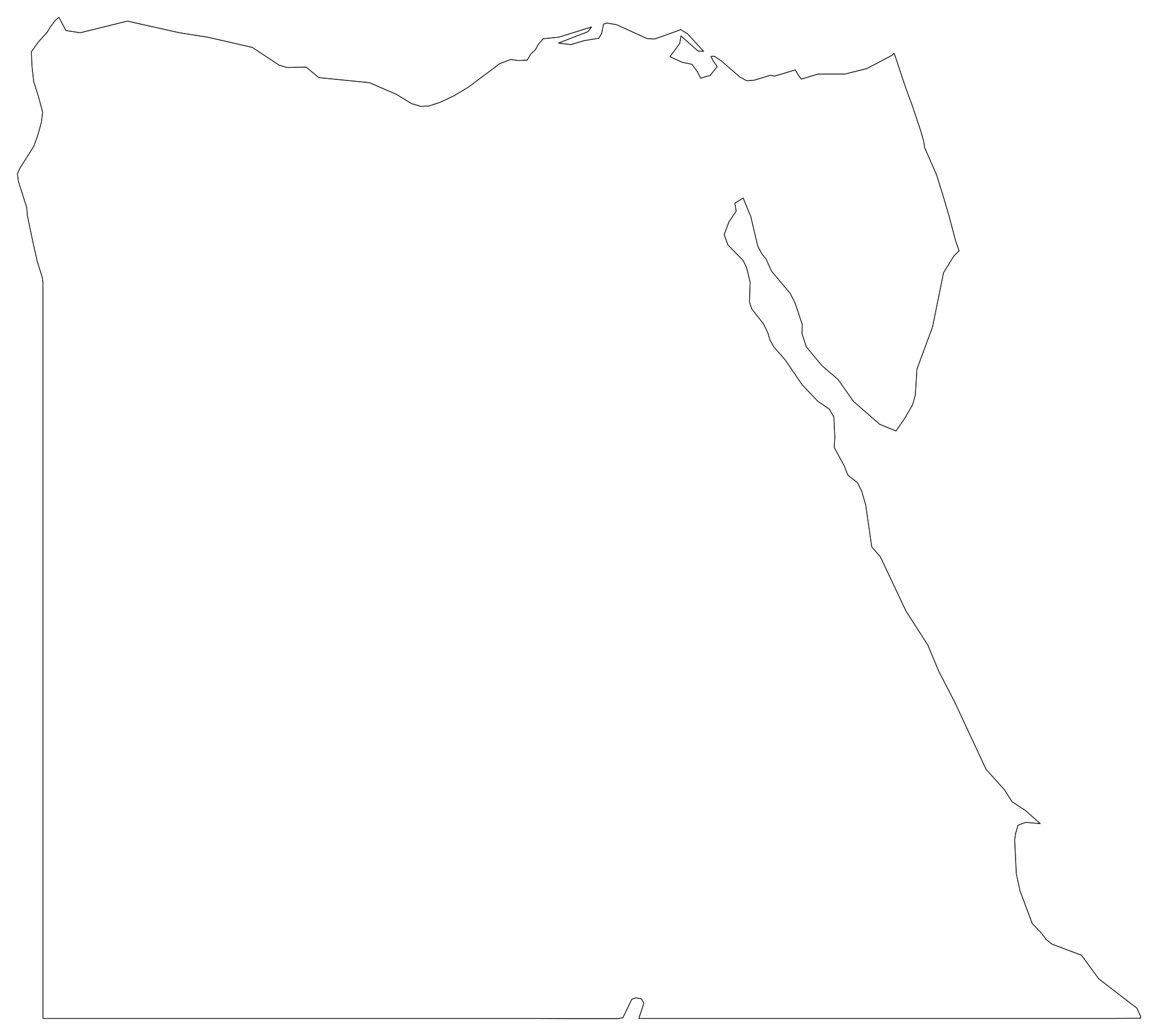
Egypt Blank Map
Download high-resolution blank Egypt map outlines with administrative borders in vector SVG, print-ready PDF, and PNG. Free for classroom quizzes, presentations, and research.
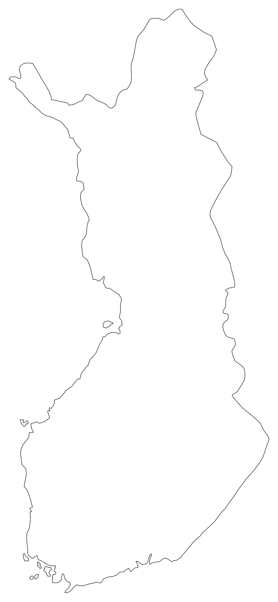
Finland Blank Map
Download high-resolution blank Finland map outlines with administrative borders in vector SVG, print-ready PDF, and PNG. Free for classroom quizzes, presentations, and research.
 Popular
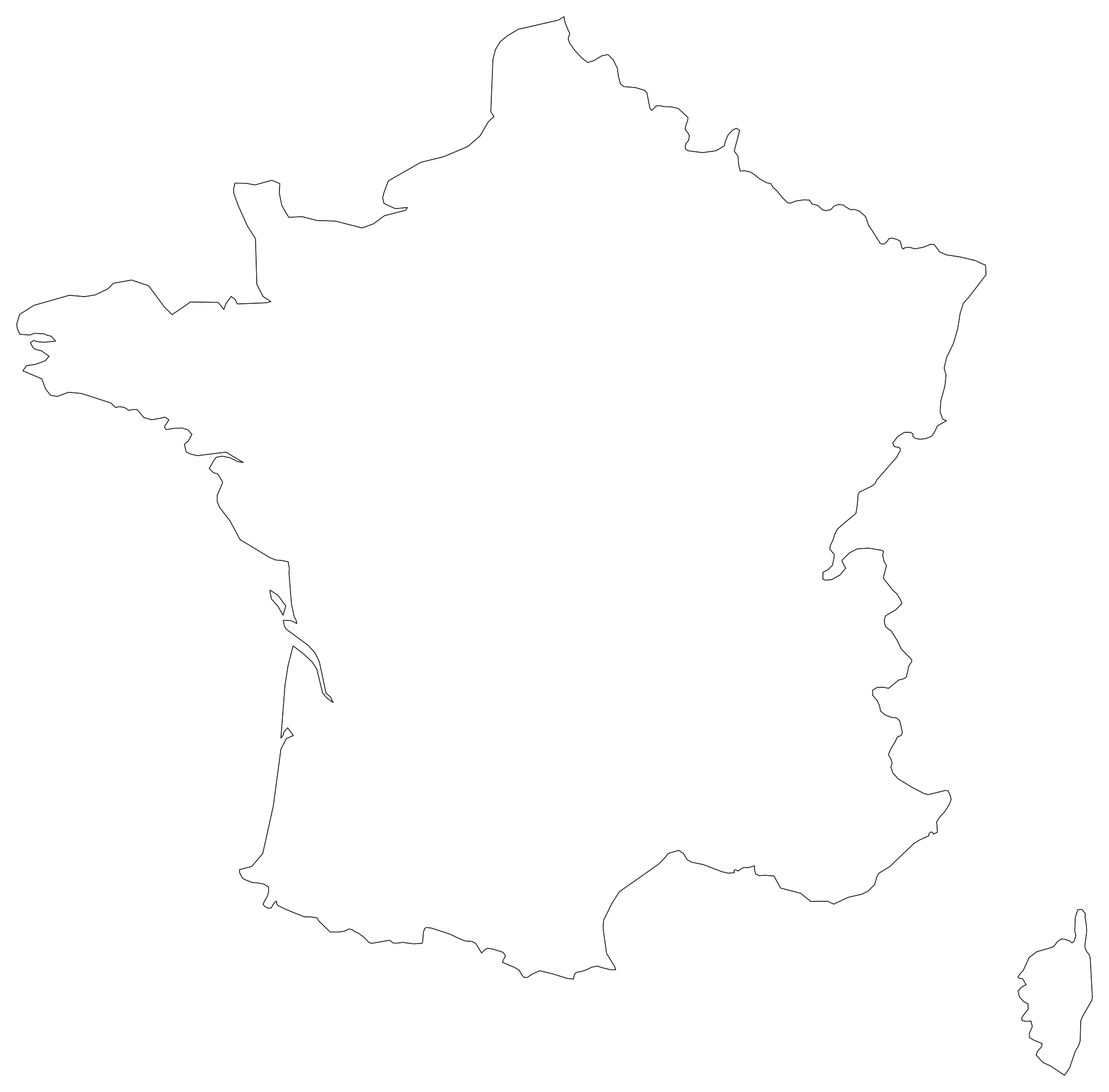
France Blank Map
Download high-resolution blank France map outlines with administrative borders in vector SVG, print-ready PDF, and PNG. Free for classroom quizzes, presentations, and research.
 Popular
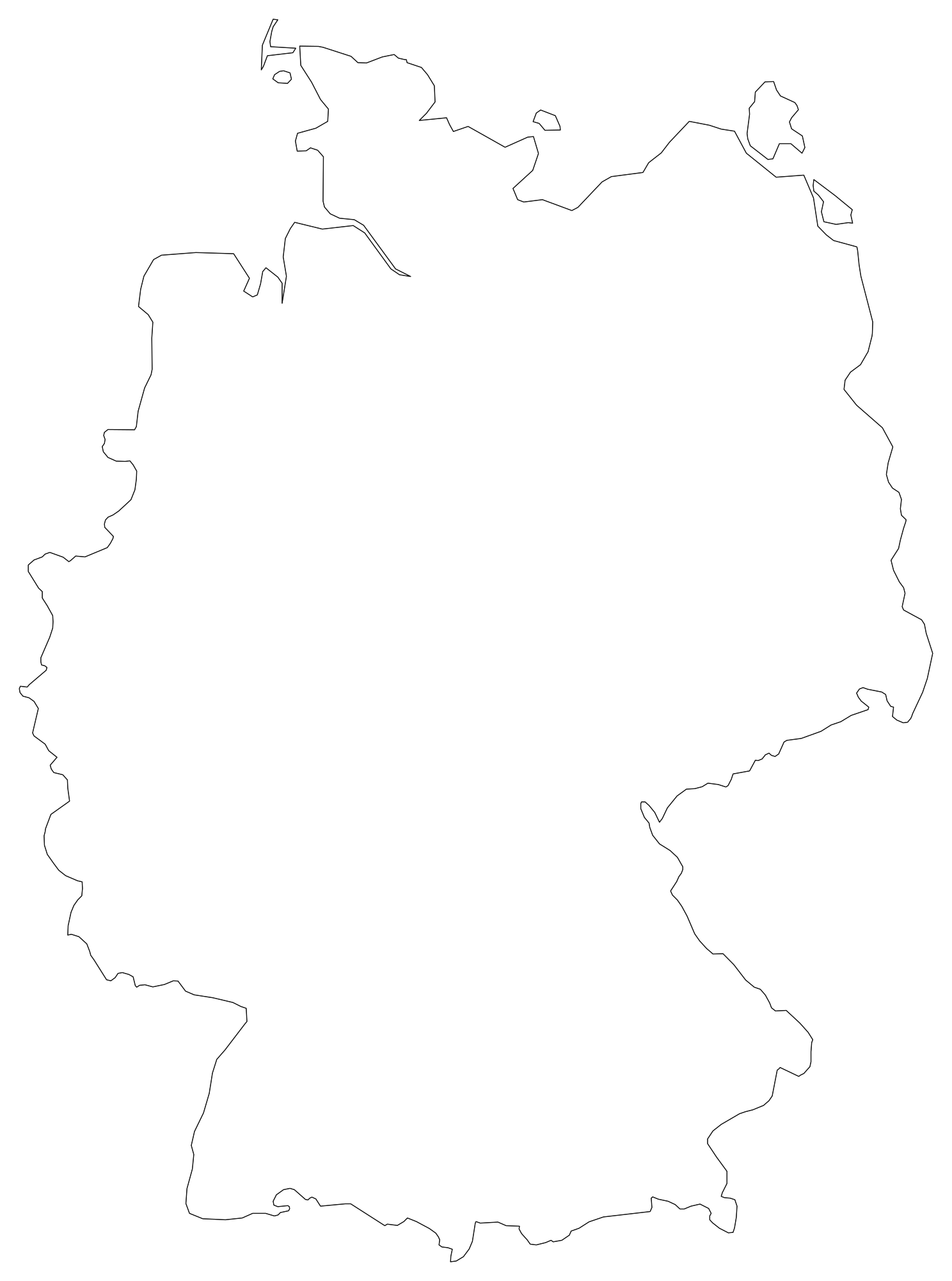
Germany Blank Map
Download high-resolution blank Germany map outlines with administrative borders in vector SVG, print-ready PDF, and PNG. Free for classroom quizzes, presentations, and research.
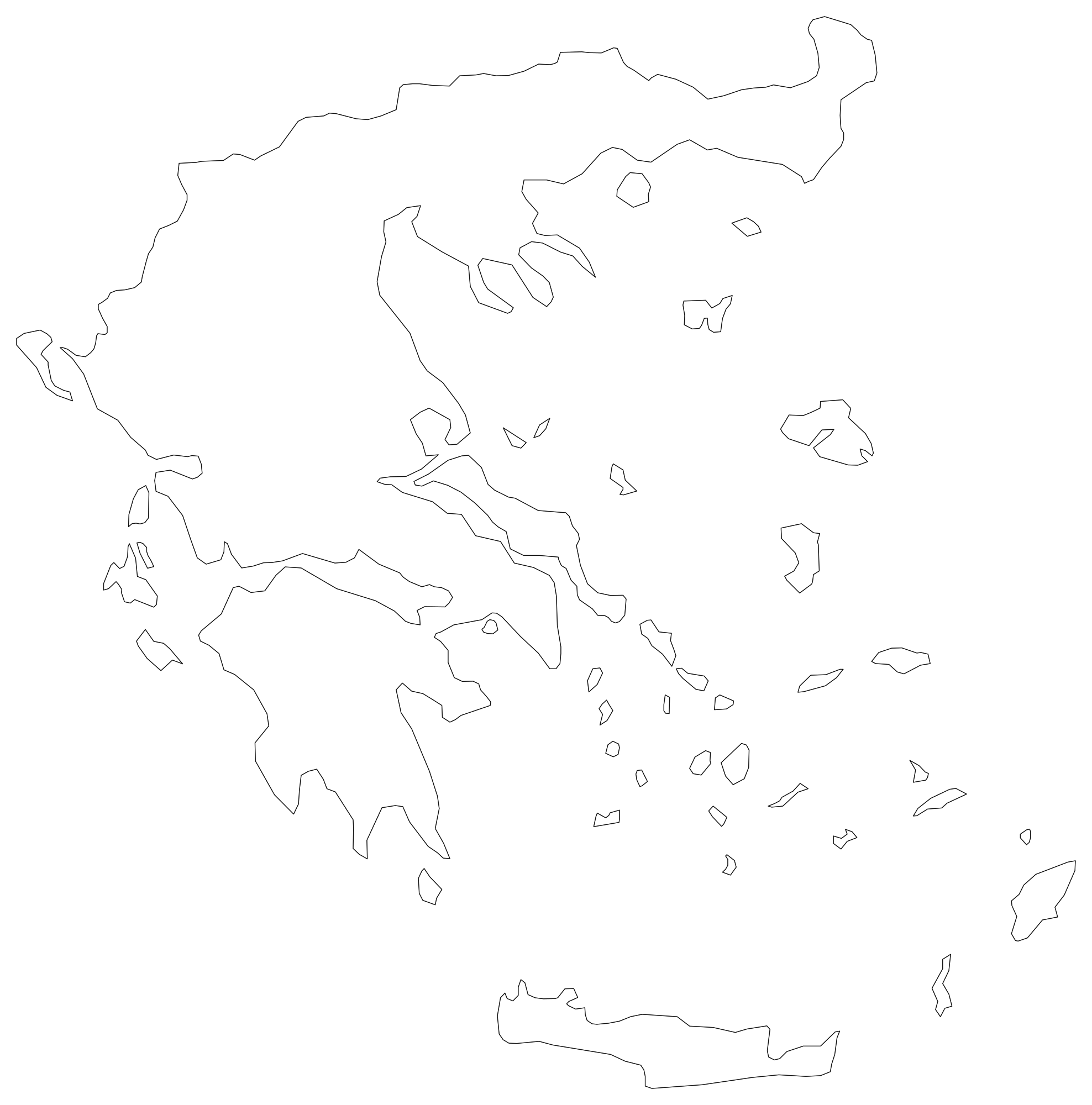
Greece Blank Map
Download high-resolution blank Greece map outlines with administrative borders in vector SVG, print-ready PDF, and PNG. Free for classroom quizzes, presentations, and research.
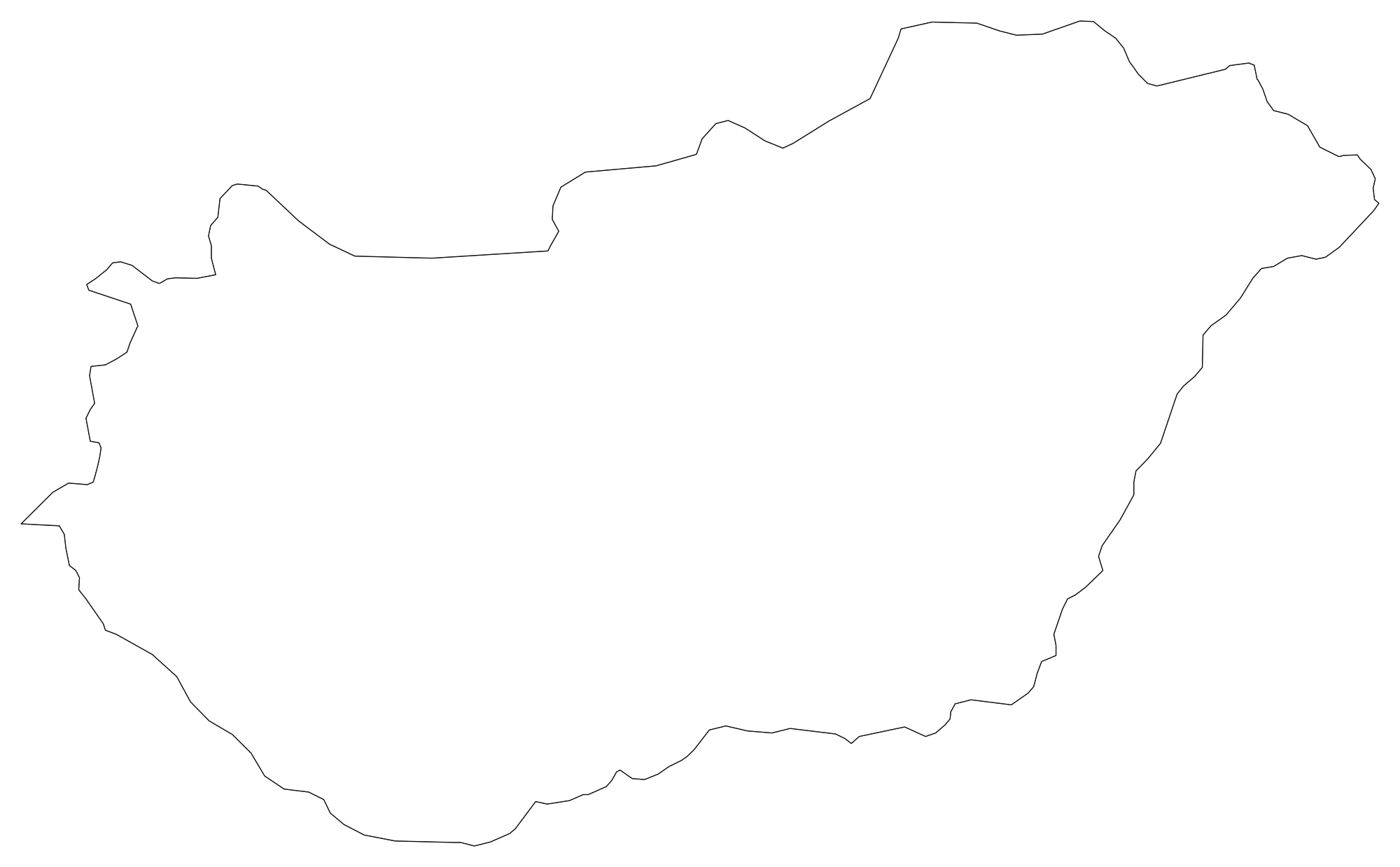
Hungary Blank Map
Download high-resolution blank Hungary map outlines with administrative borders in vector SVG, print-ready PDF, and PNG. Free for classroom quizzes, presentations, and research.
 Popular
India Blank Map
Download high-resolution blank India map outlines with administrative borders in vector SVG, print-ready PDF, and PNG. Free for classroom quizzes, presentations, and research.
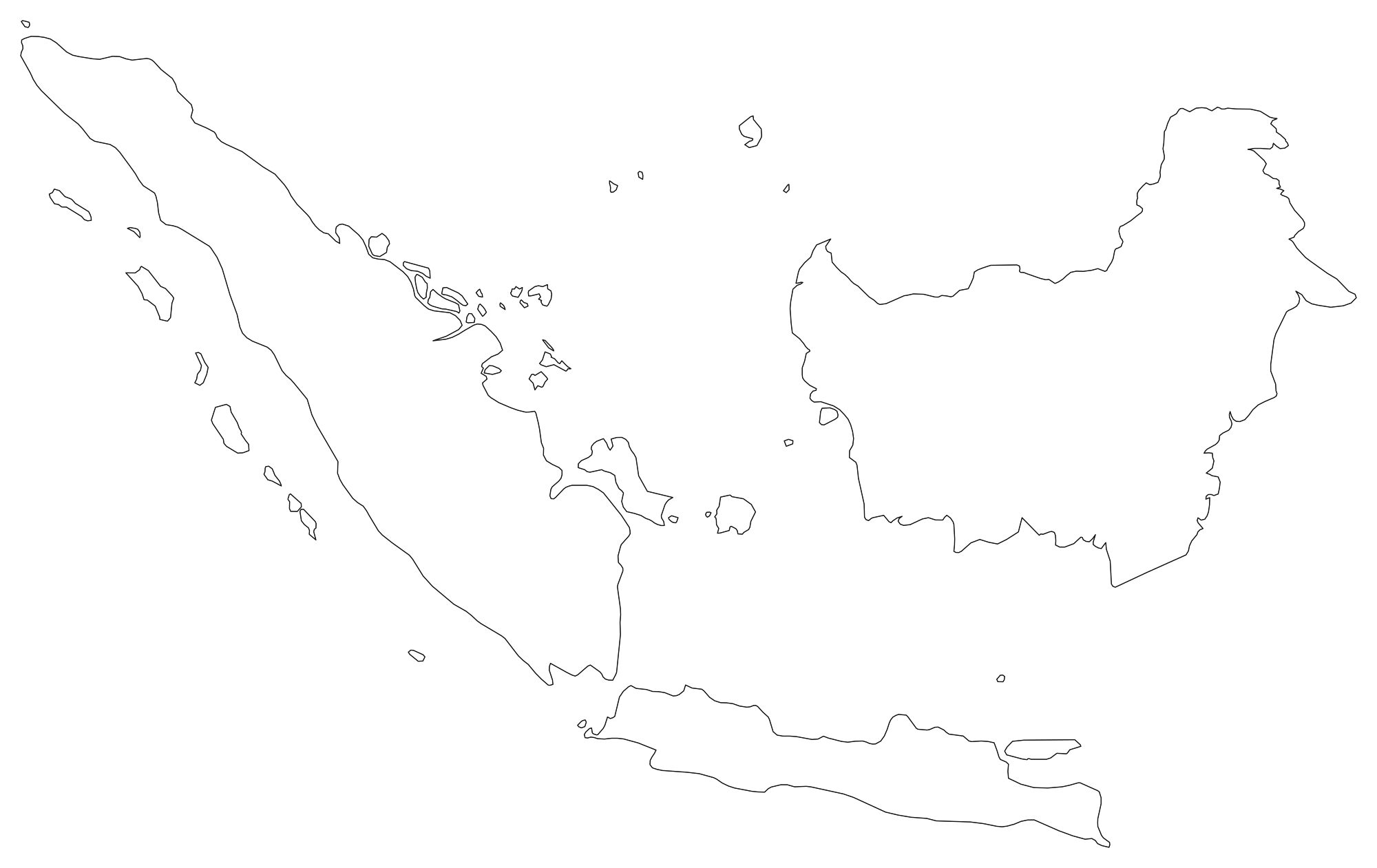
Indonesia Blank Map
Download high-resolution blank Indonesia map outlines with administrative borders in vector SVG, print-ready PDF, and PNG. Free for classroom quizzes, presentations, and research.
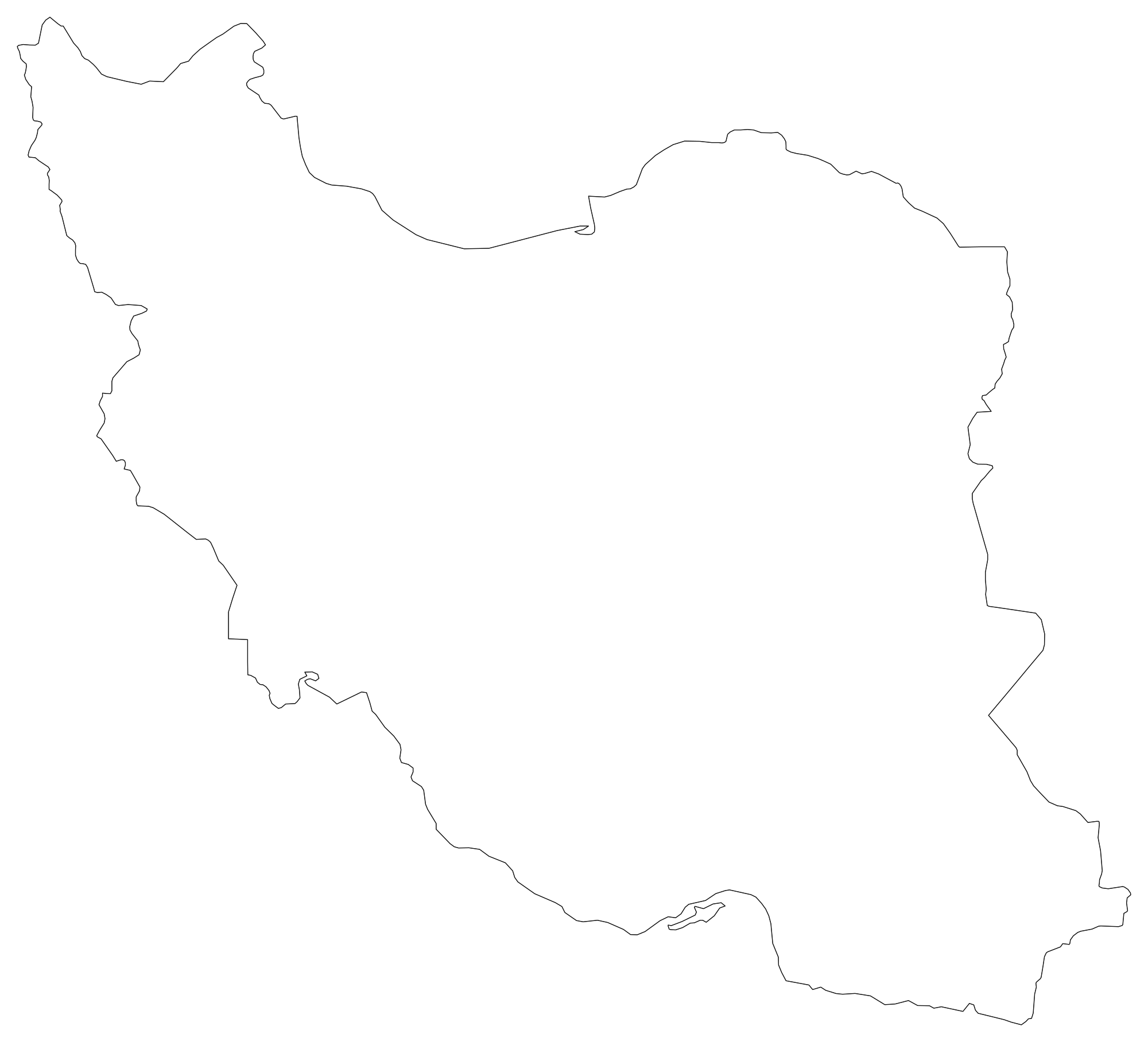
Iran Blank Map
Download high-resolution blank Iran map outlines with administrative borders in vector SVG, print-ready PDF, and PNG. Free for classroom quizzes, presentations, and research.
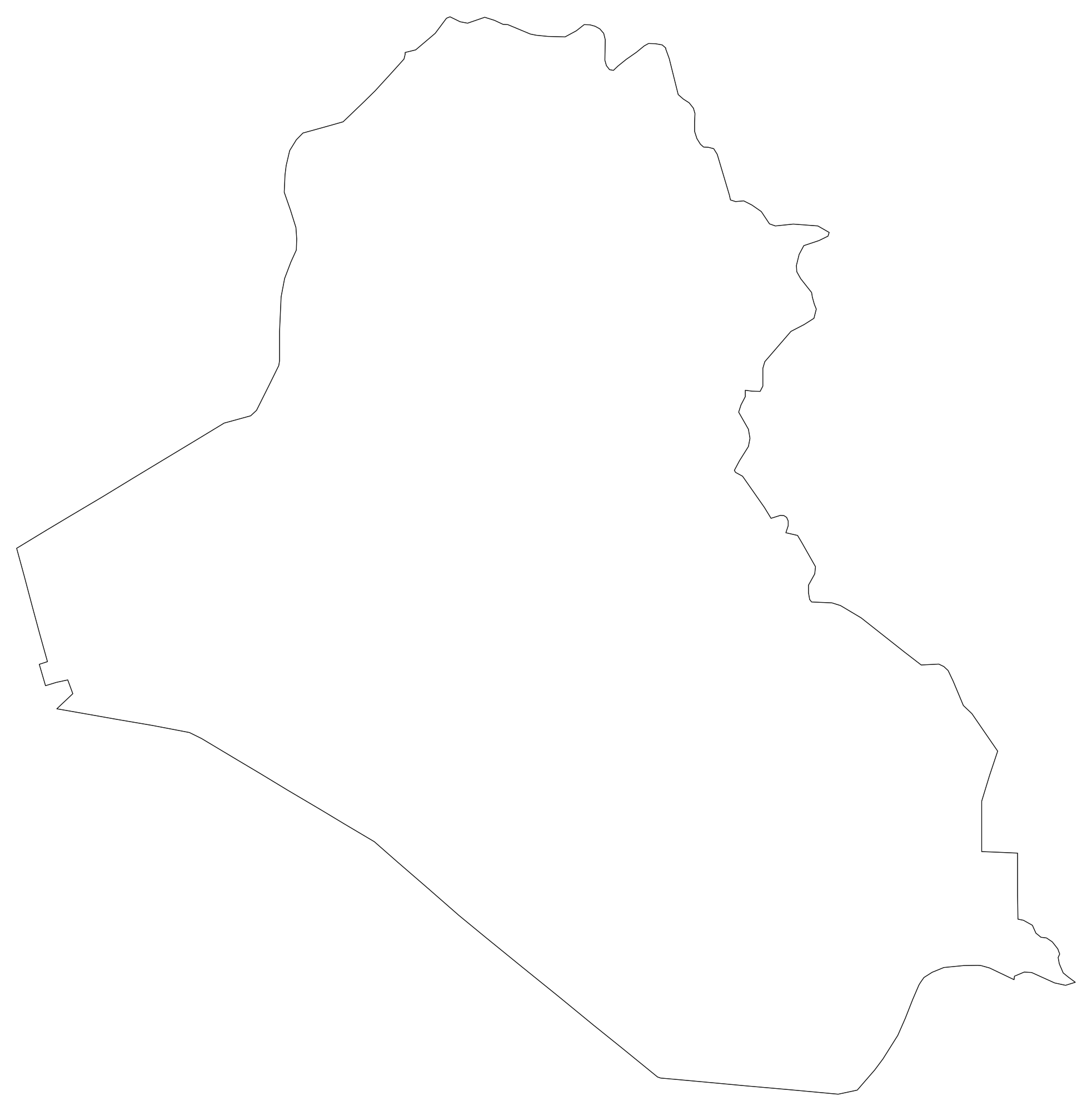
Iraq Blank Map
Download high-resolution blank Iraq map outlines with administrative borders in vector SVG, print-ready PDF, and PNG. Free for classroom quizzes, presentations, and research.
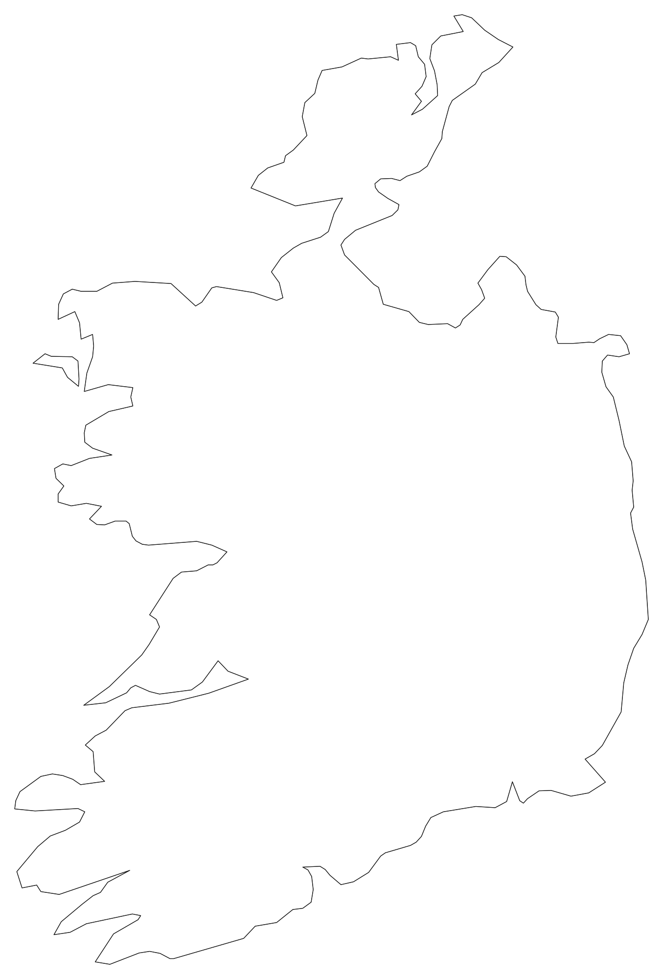
Ireland Blank Map
Download high-resolution blank Ireland map outlines with administrative borders in vector SVG, print-ready PDF, and PNG. Free for classroom quizzes, presentations, and research.
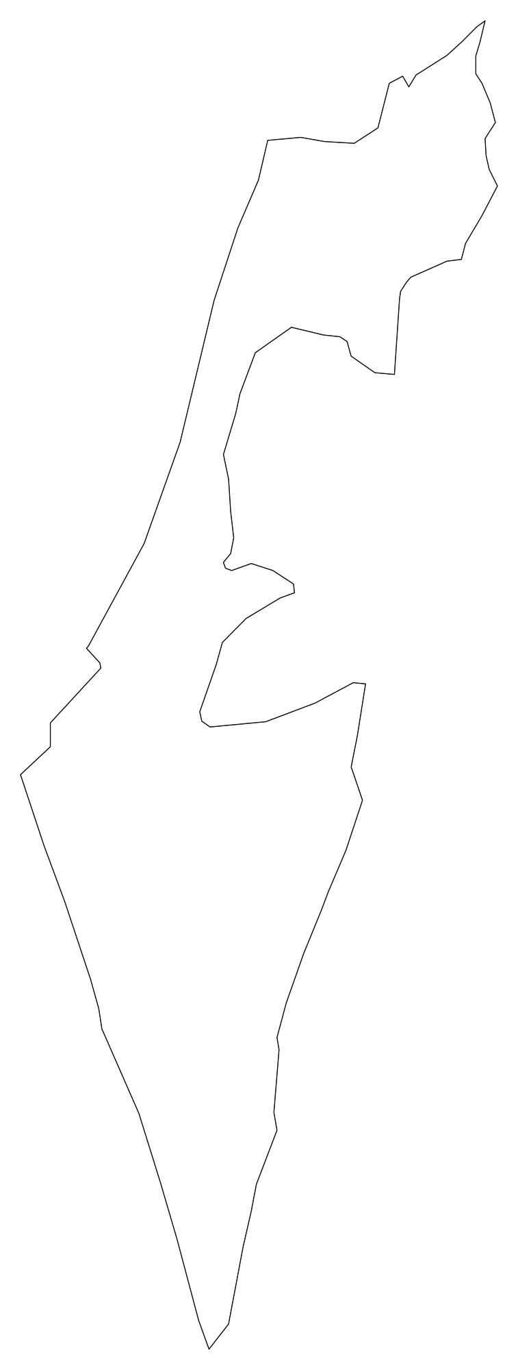
Israel Blank Map
Download high-resolution blank Israel map outlines with administrative borders in vector SVG, print-ready PDF, and PNG. Free for classroom quizzes, presentations, and research.
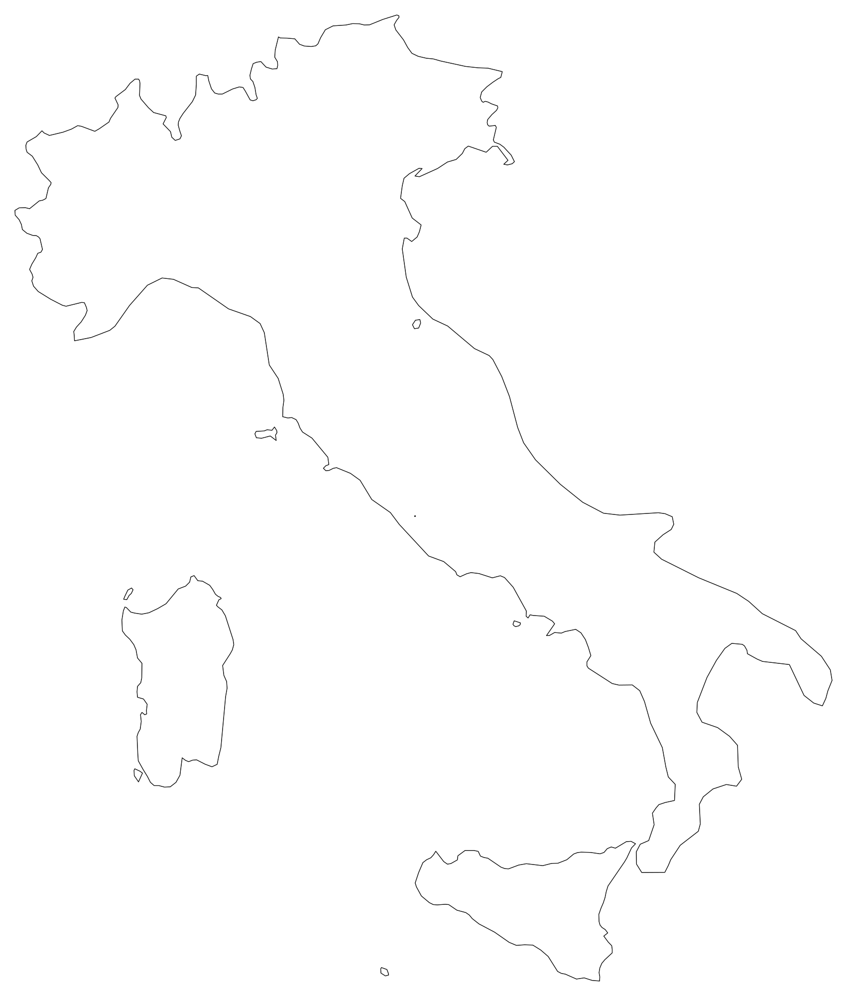
Italy Blank Map
Download high-resolution blank Italy map outlines with administrative borders in vector SVG, print-ready PDF, and PNG. Free for classroom quizzes, presentations, and research.
 Popular
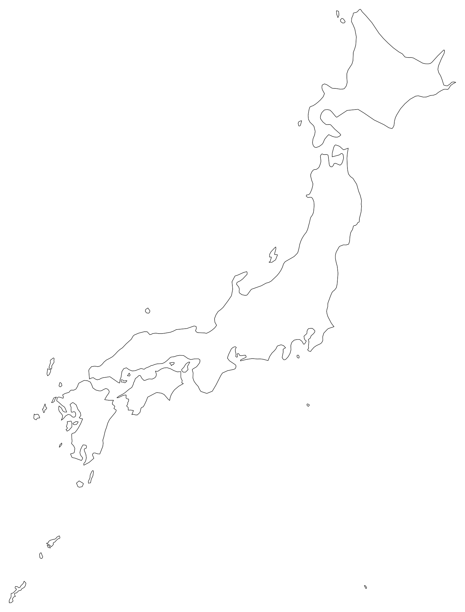
Japan Blank Map
Download high-resolution blank Japan map outlines with administrative borders in vector SVG, print-ready PDF, and PNG. Free for classroom quizzes, presentations, and research.
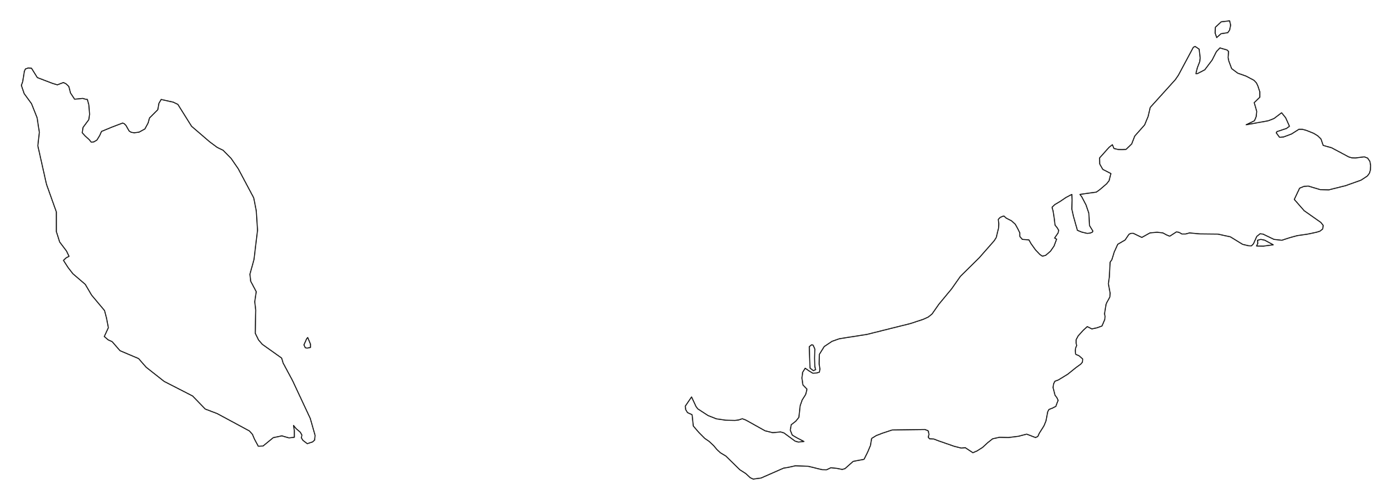
Malaysia Blank Map
Download high-resolution blank Malaysia map outlines with administrative borders in vector SVG, print-ready PDF, and PNG. Free for classroom quizzes, presentations, and research.
 Popular
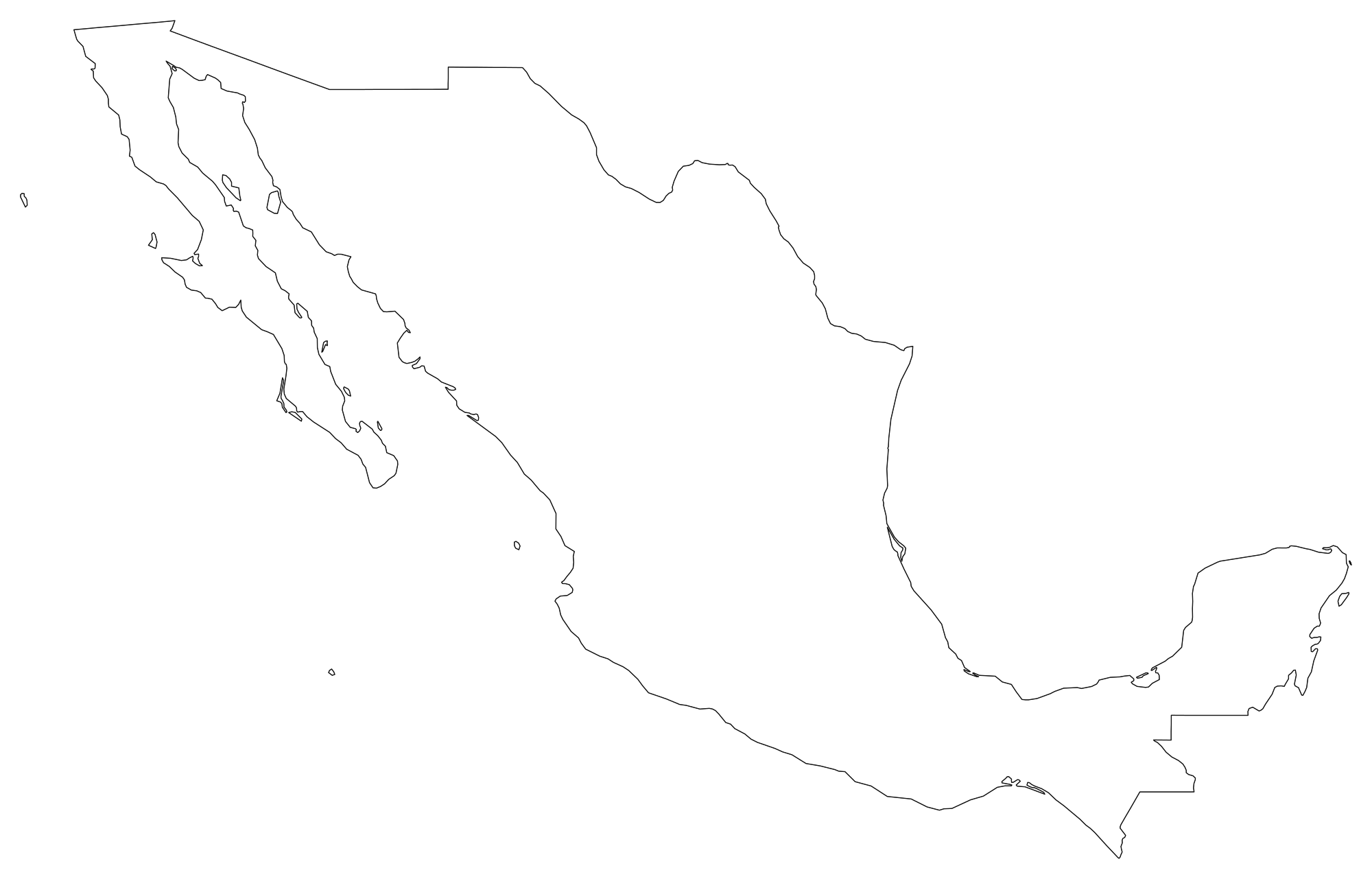
Mexico Blank Map
Download high-resolution blank Mexico map outlines with administrative borders in vector SVG, print-ready PDF, and PNG. Free for classroom quizzes, presentations, and research.
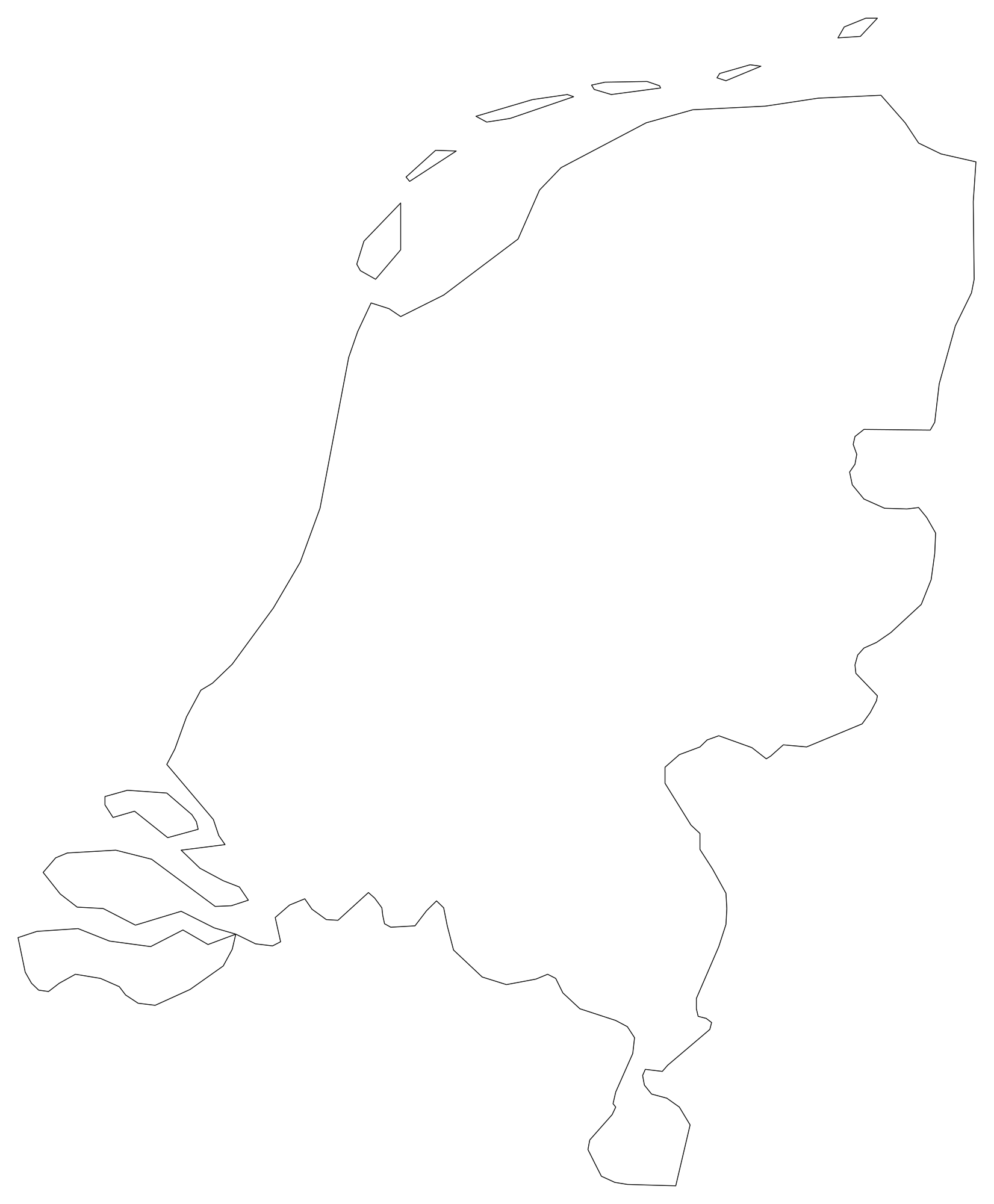
Netherlands Blank Map
Download high-resolution blank Netherlands map outlines with administrative borders in vector SVG, print-ready PDF, and PNG. Free for classroom quizzes, presentations, and research.
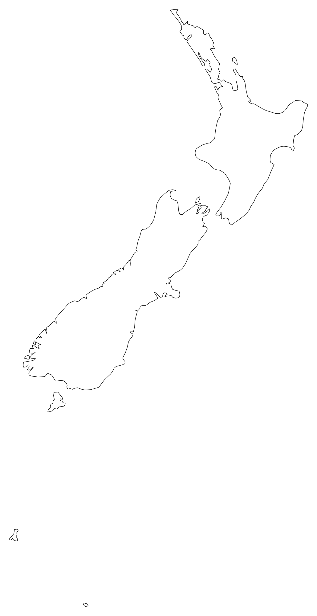
New Zealand Blank Map
Download high-resolution blank New Zealand map outlines with administrative borders in vector SVG, print-ready PDF, and PNG. Free for classroom quizzes, presentations, and research.

Nigeria Blank Map
Download high-resolution blank Nigeria map outlines with administrative borders in vector SVG, print-ready PDF, and PNG. Free for classroom quizzes, presentations, and research.
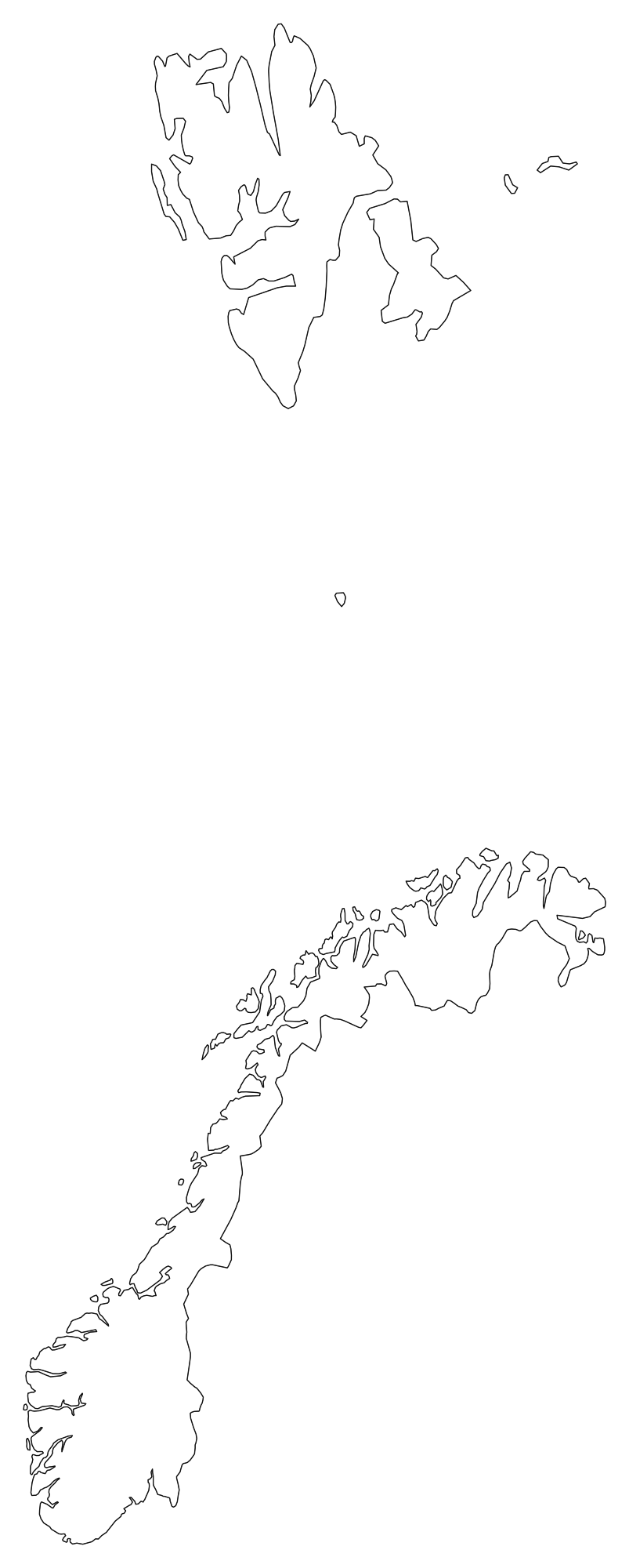
Norway Blank Map
Download high-resolution blank Norway map outlines with administrative borders in vector SVG, print-ready PDF, and PNG. Free for classroom quizzes, presentations, and research.
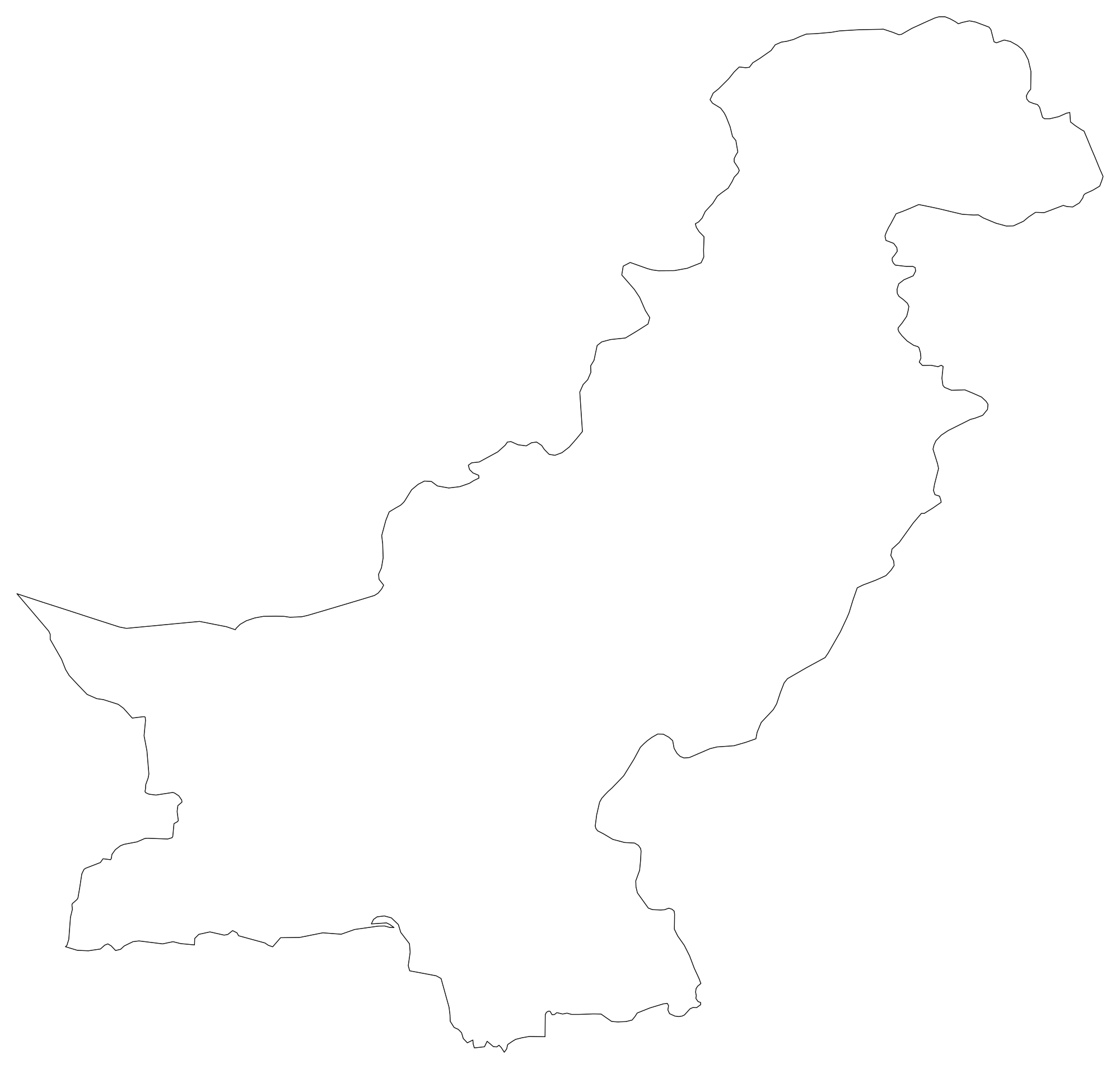
Pakistan Blank Map
Download high-resolution blank Pakistan map outlines with administrative borders in vector SVG, print-ready PDF, and PNG. Free for classroom quizzes, presentations, and research.
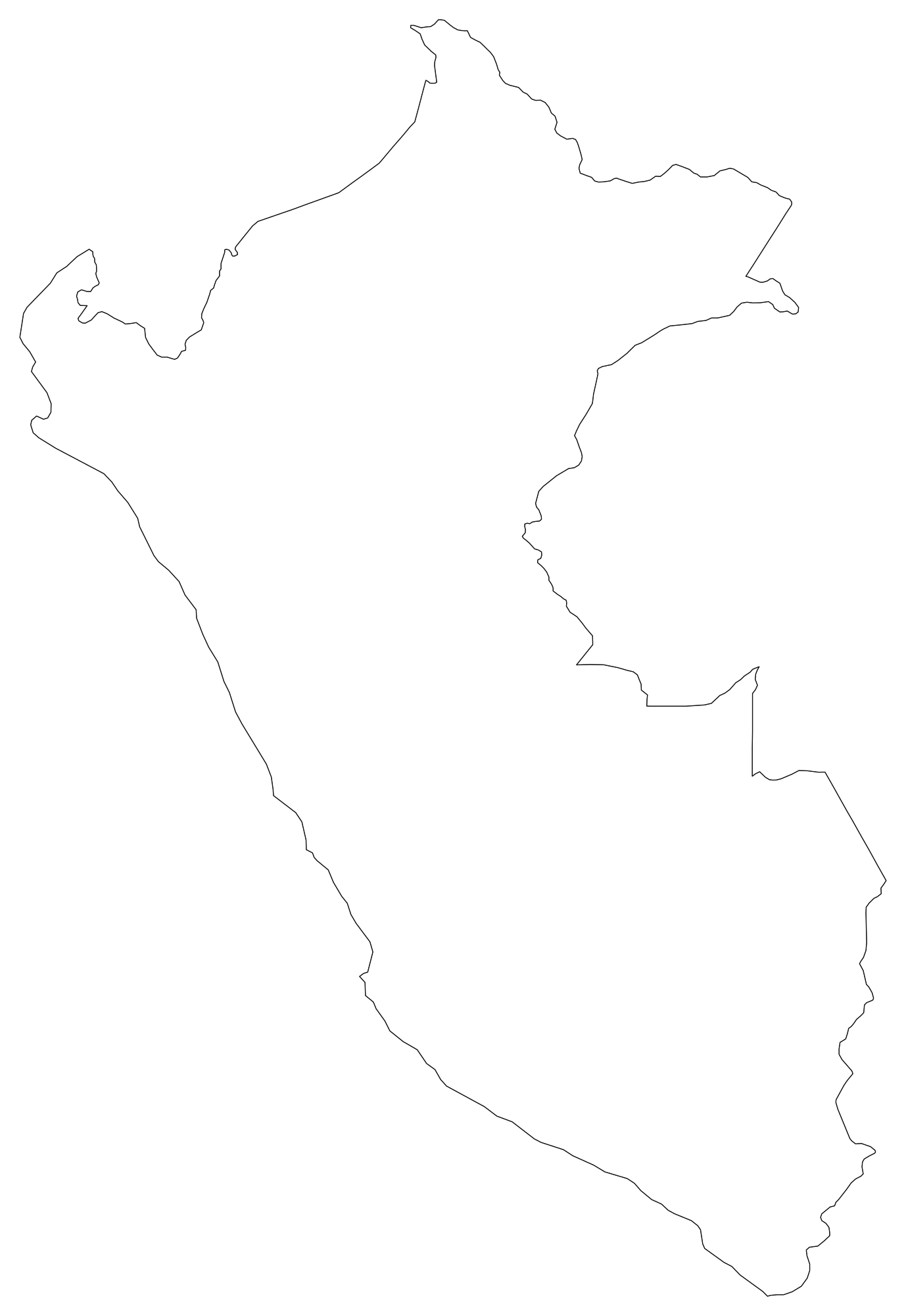
Peru Blank Map
Download high-resolution blank Peru map outlines with administrative borders in vector SVG, print-ready PDF, and PNG. Free for classroom quizzes, presentations, and research.
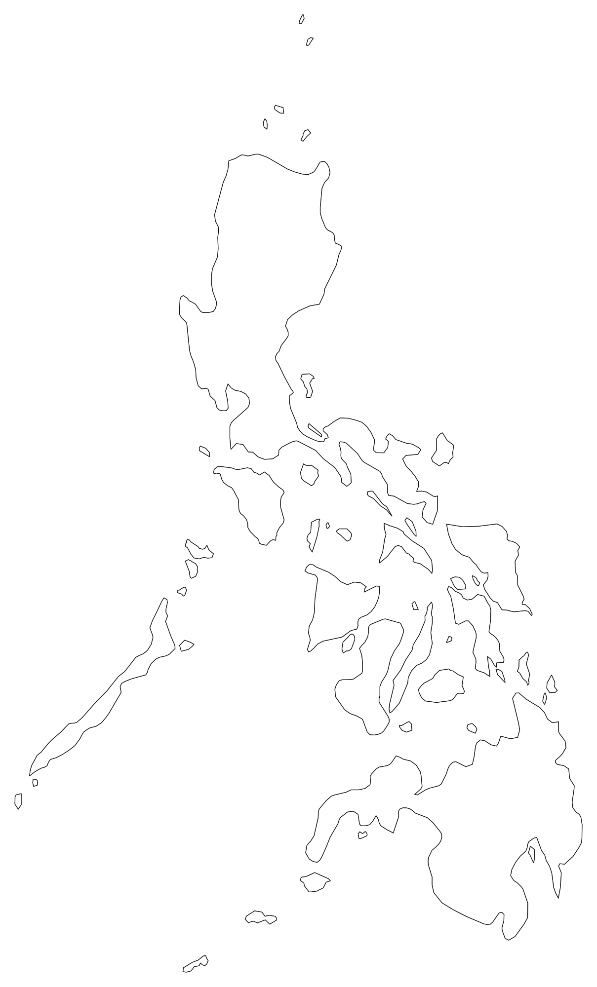
Philippines Blank Map
Download high-resolution blank Philippines map outlines with administrative borders in vector SVG, print-ready PDF, and PNG. Free for classroom quizzes, presentations, and research.
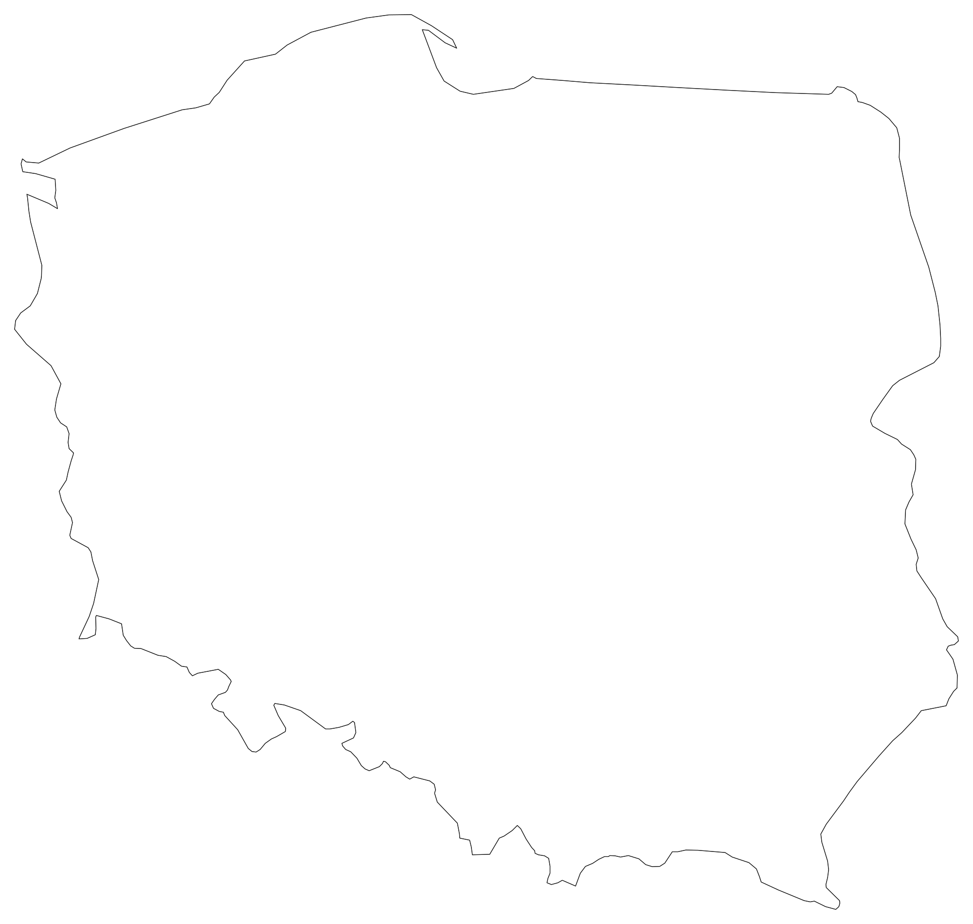
Poland Blank Map
Download high-resolution blank Poland map outlines with administrative borders in vector SVG, print-ready PDF, and PNG. Free for classroom quizzes, presentations, and research.
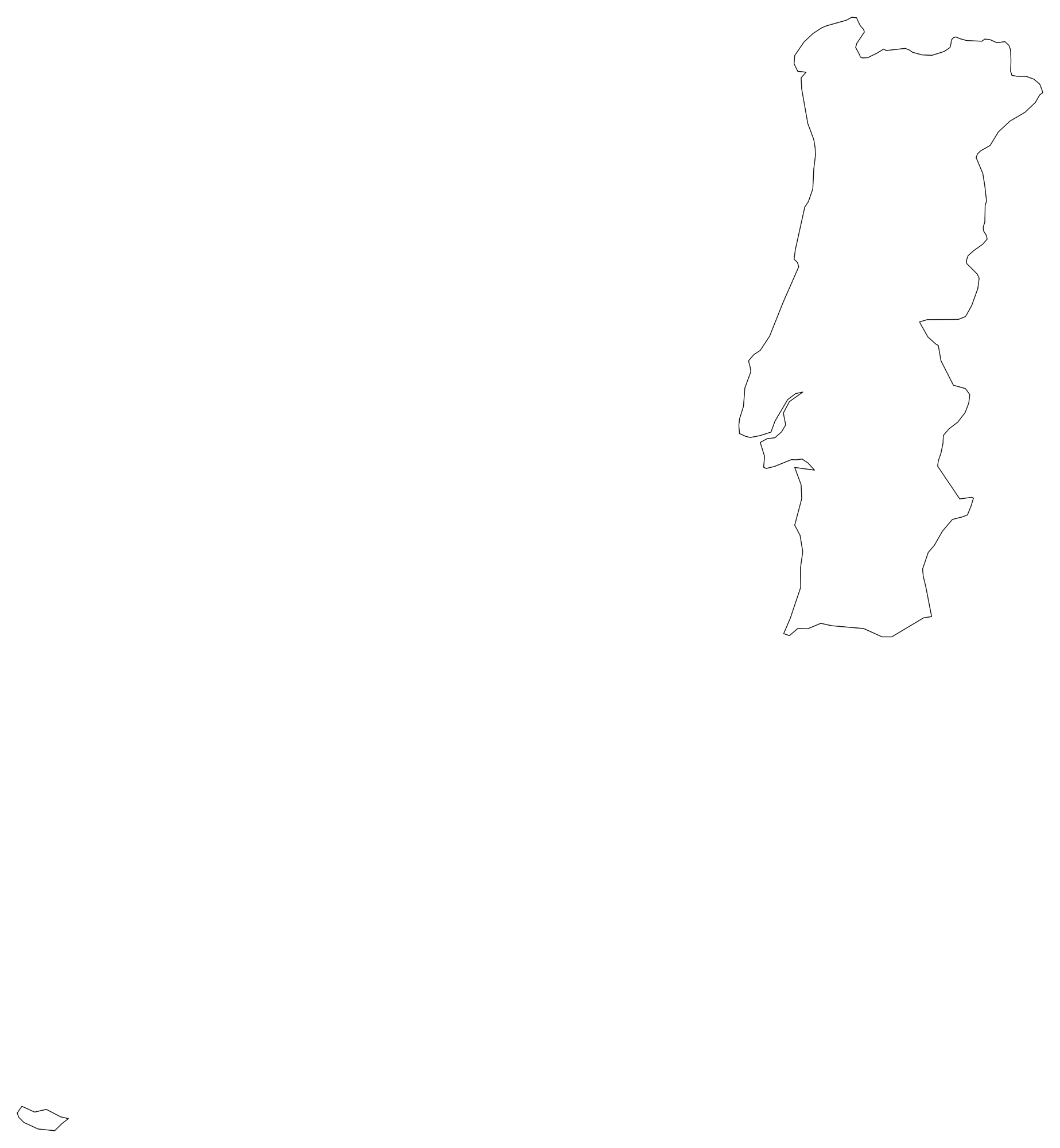
Portugal Blank Map
Download high-resolution blank Portugal map outlines with administrative borders in vector SVG, print-ready PDF, and PNG. Free for classroom quizzes, presentations, and research.
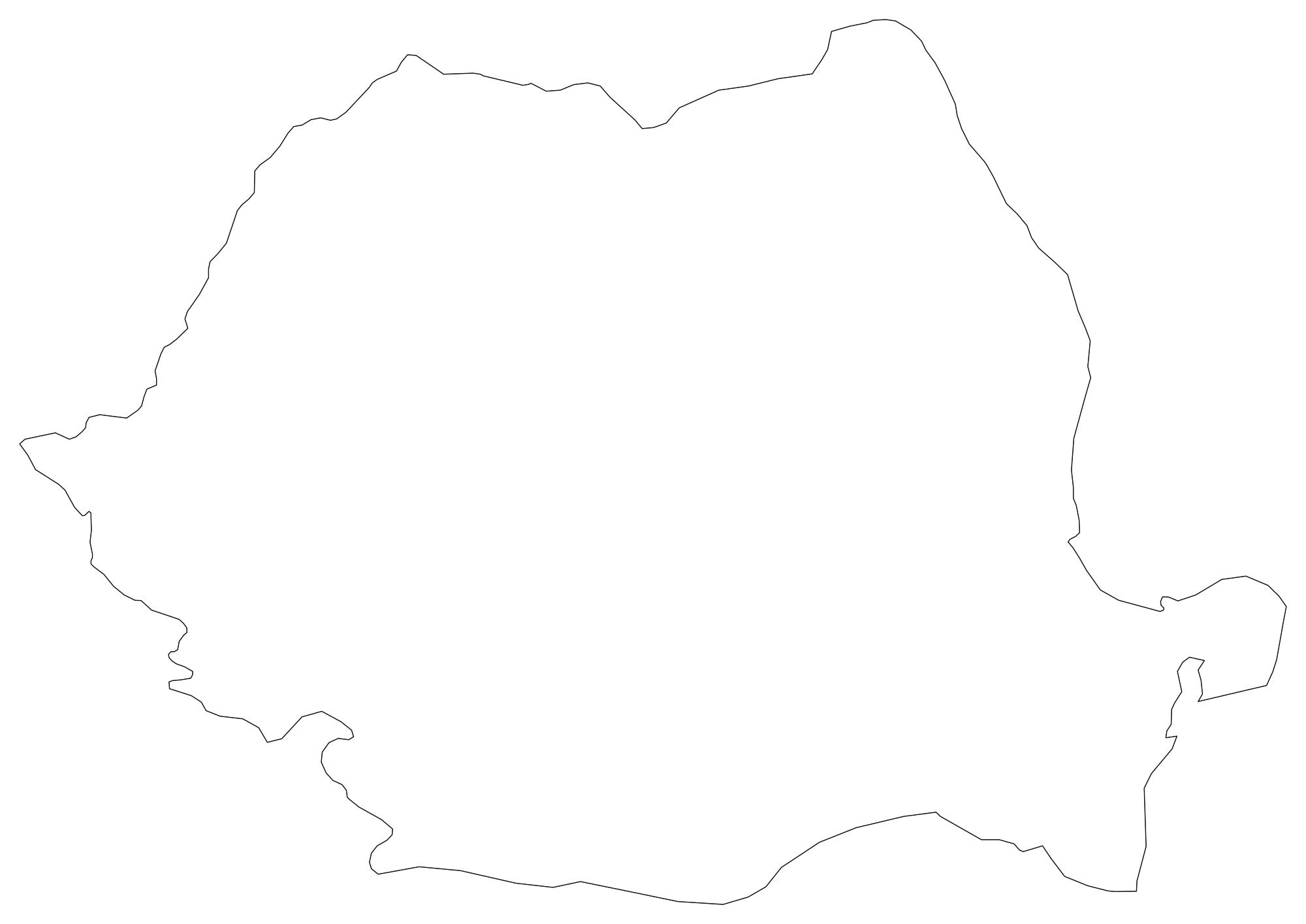
Romania Blank Map
Download high-resolution blank Romania map outlines with administrative borders in vector SVG, print-ready PDF, and PNG. Free for classroom quizzes, presentations, and research.
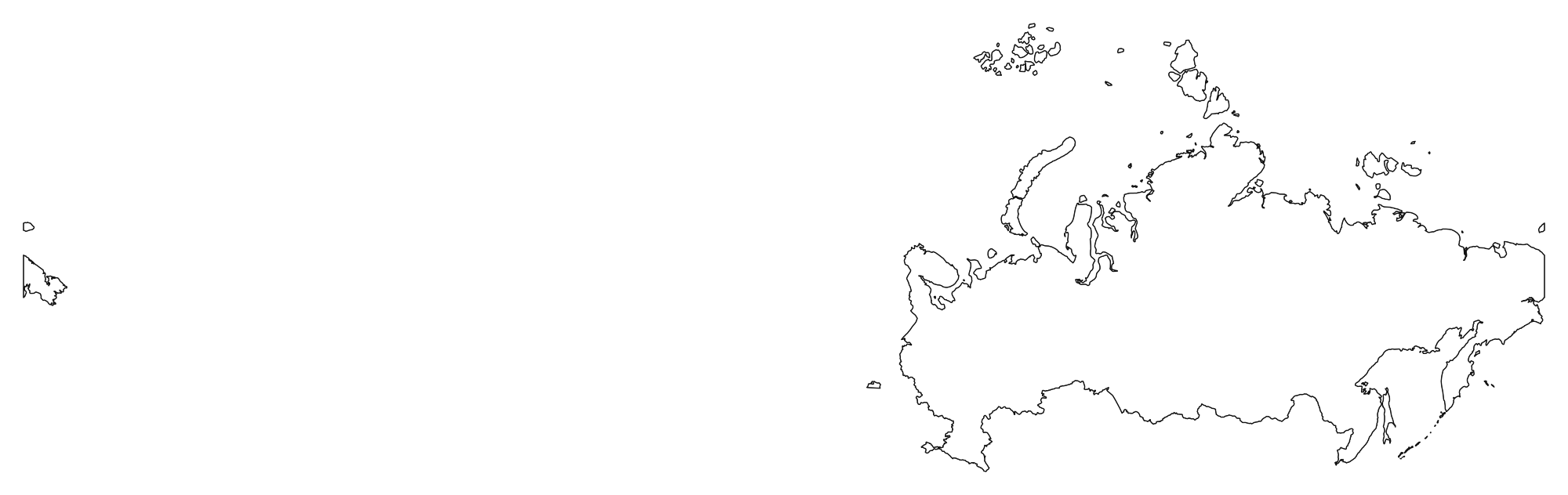
Russia Blank Map
Download high-resolution blank Russia map outlines with administrative borders in vector SVG, print-ready PDF, and PNG. Free for classroom quizzes, presentations, and research.
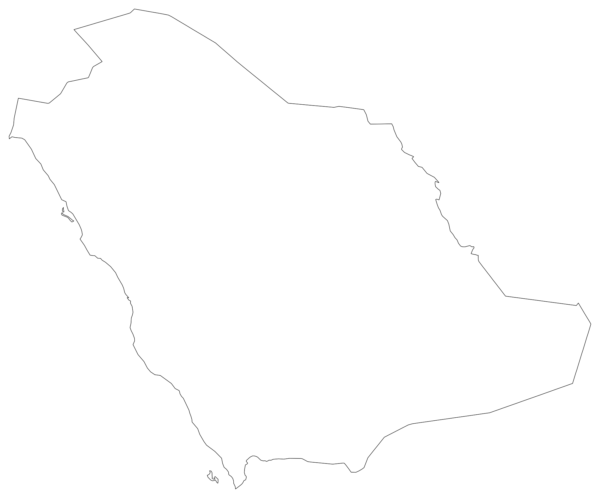
Saudi Arabia Blank Map
Download high-resolution blank Saudi Arabia map outlines with administrative borders in vector SVG, print-ready PDF, and PNG. Free for classroom quizzes, presentations, and research.
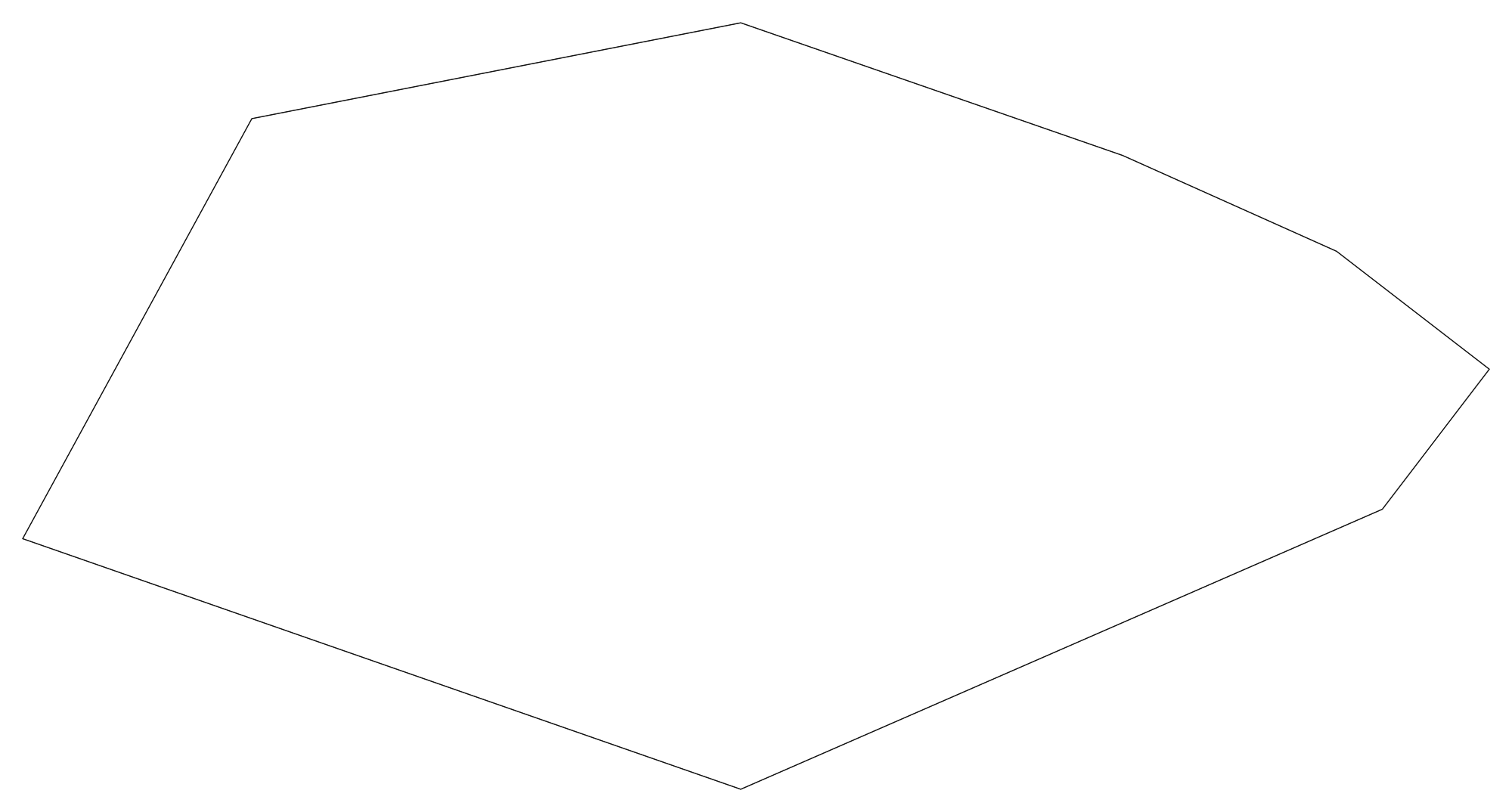
Singapore Blank Map
Download high-resolution blank Singapore map outlines with administrative borders in vector SVG, print-ready PDF, and PNG. Free for classroom quizzes, presentations, and research.
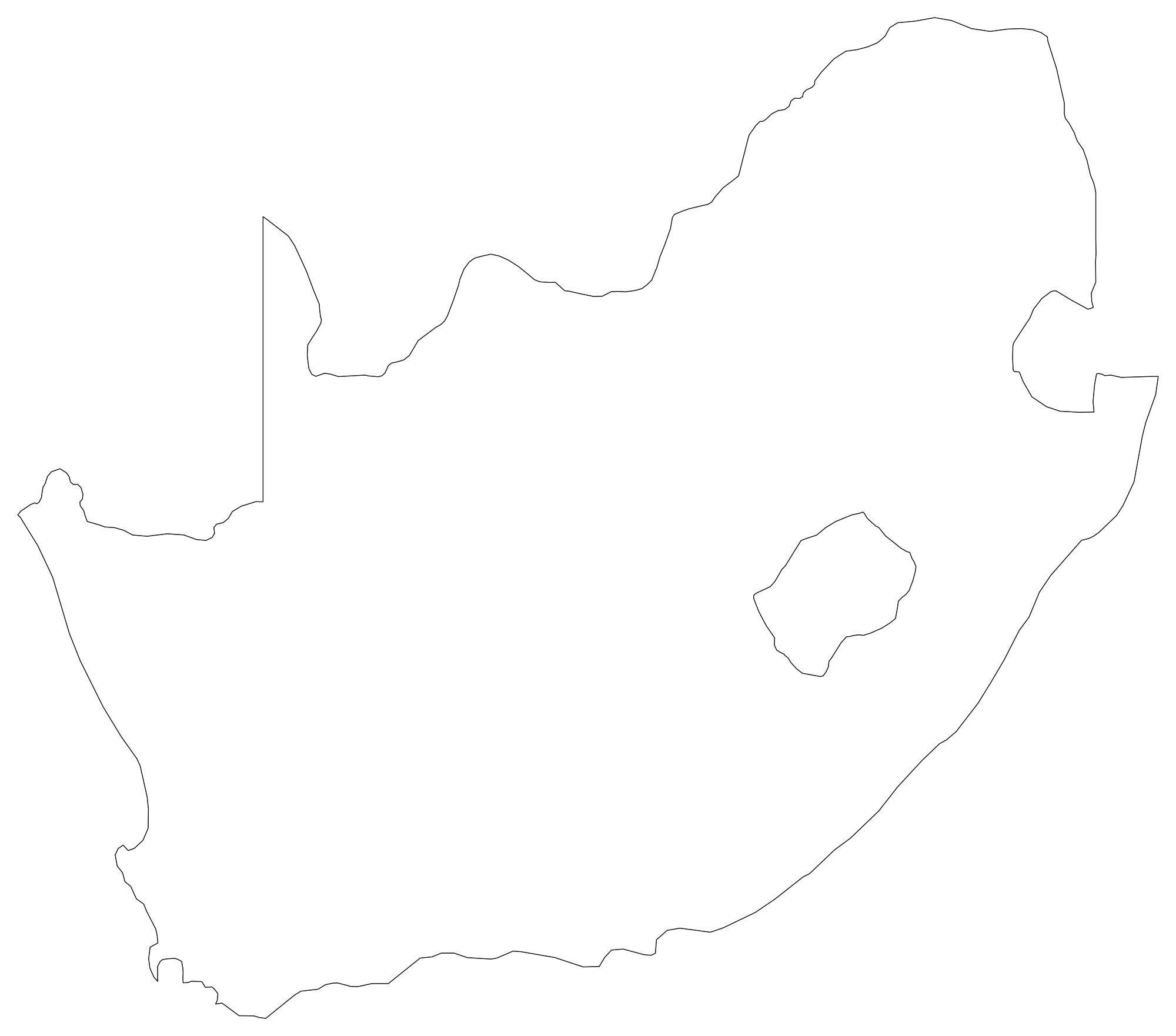
South Africa Blank Map
Download high-resolution blank South Africa map outlines with administrative borders in vector SVG, print-ready PDF, and PNG. Free for classroom quizzes, presentations, and research.
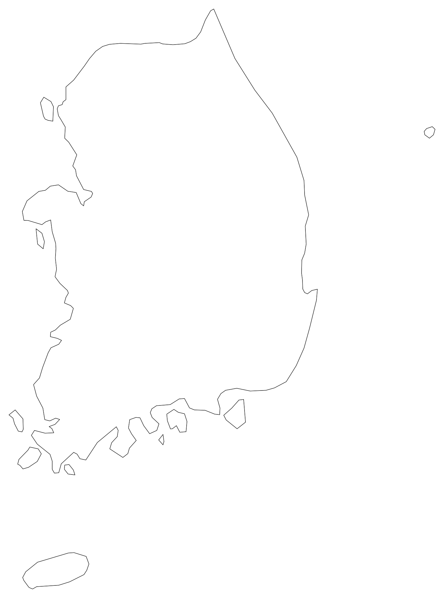
South Korea Blank Map
Download high-resolution blank South Korea map outlines with administrative borders in vector SVG, print-ready PDF, and PNG. Free for classroom quizzes, presentations, and research.
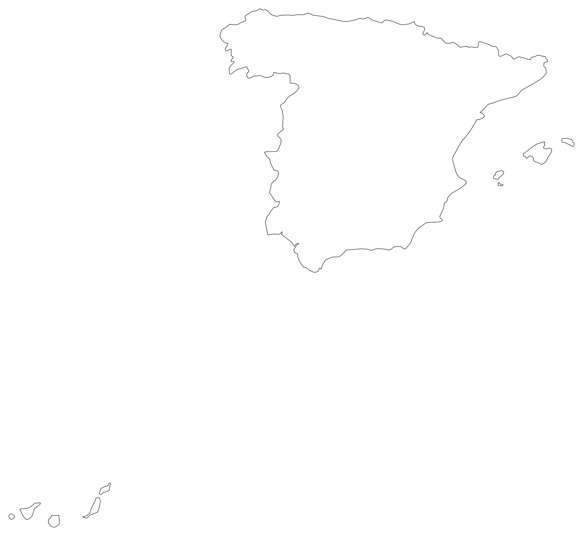
Spain Blank Map
Download high-resolution blank Spain map outlines with administrative borders in vector SVG, print-ready PDF, and PNG. Free for classroom quizzes, presentations, and research.
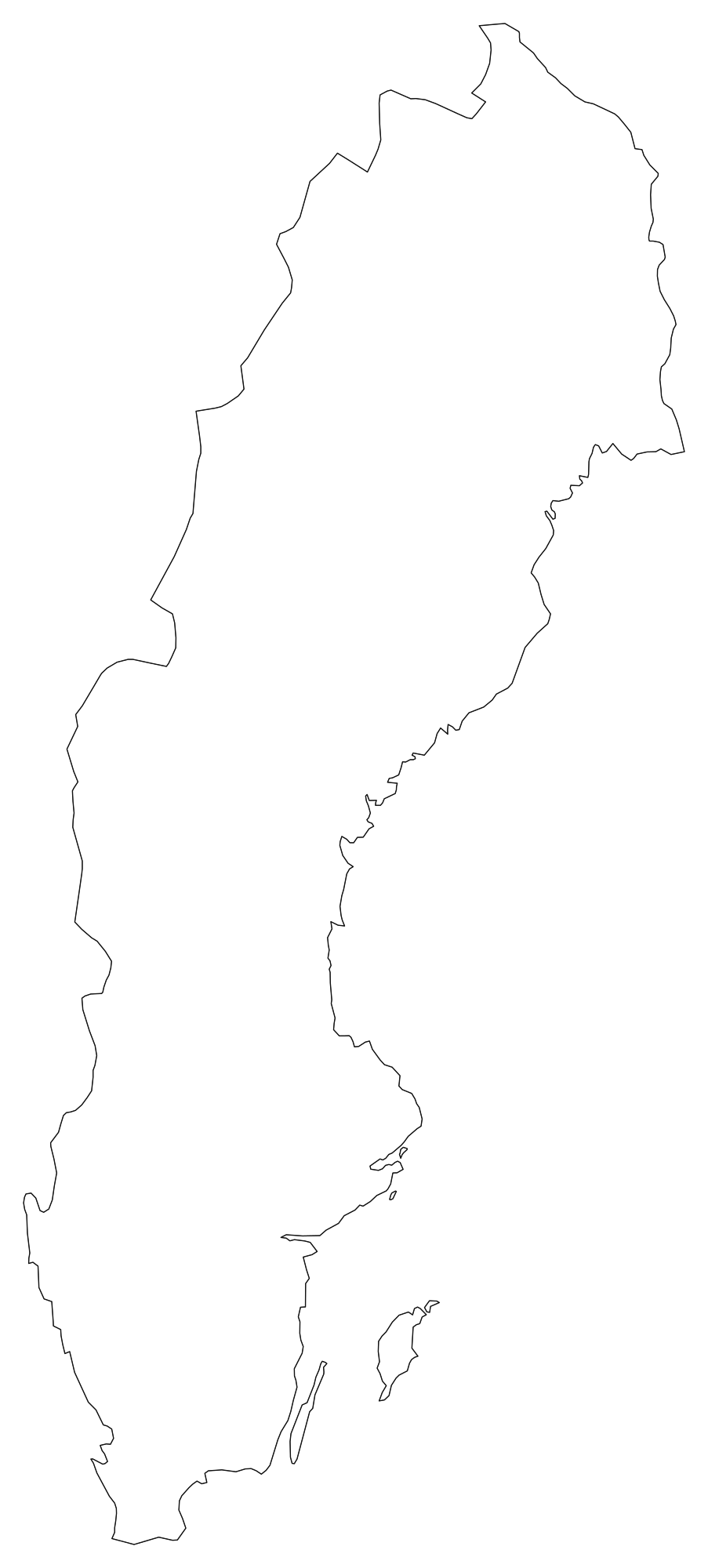
Sweden Blank Map
Download high-resolution blank Sweden map outlines with administrative borders in vector SVG, print-ready PDF, and PNG. Free for classroom quizzes, presentations, and research.

Switzerland Blank Map
Download high-resolution blank Switzerland map outlines with administrative borders in vector SVG, print-ready PDF, and PNG. Free for classroom quizzes, presentations, and research.
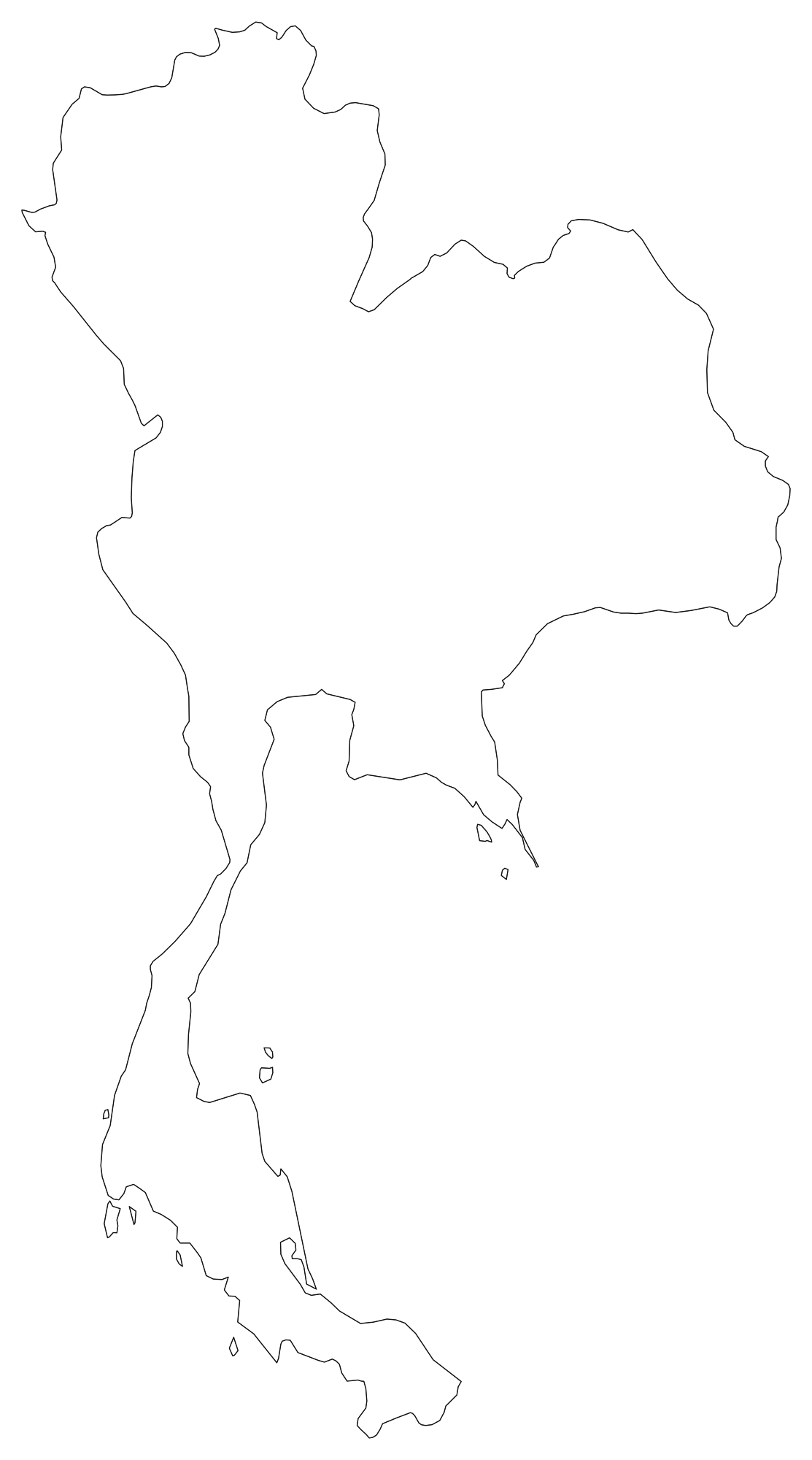
Thailand Blank Map
Download high-resolution blank Thailand map outlines with administrative borders in vector SVG, print-ready PDF, and PNG. Free for classroom quizzes, presentations, and research.
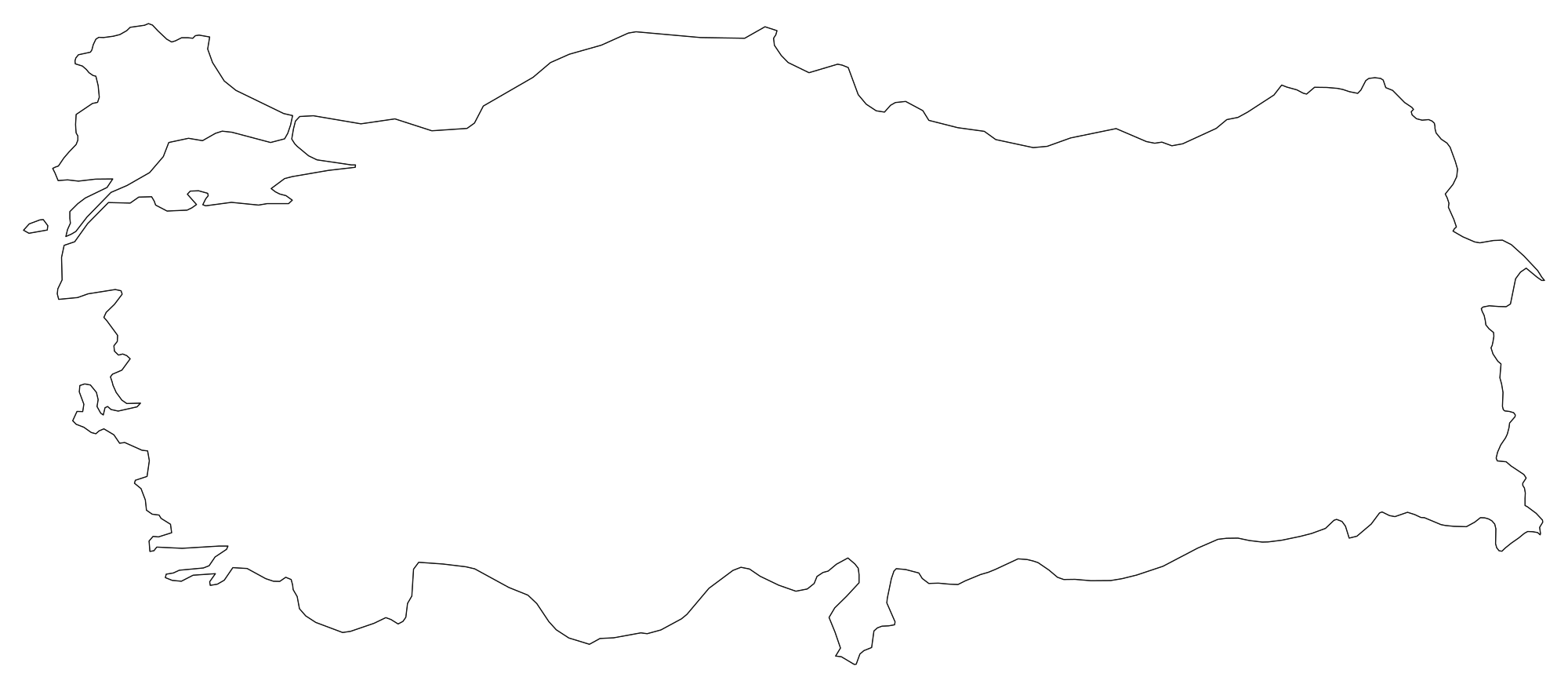
Turkey Blank Map
Download high-resolution blank Turkey map outlines with administrative borders in vector SVG, print-ready PDF, and PNG. Free for classroom quizzes, presentations, and research.
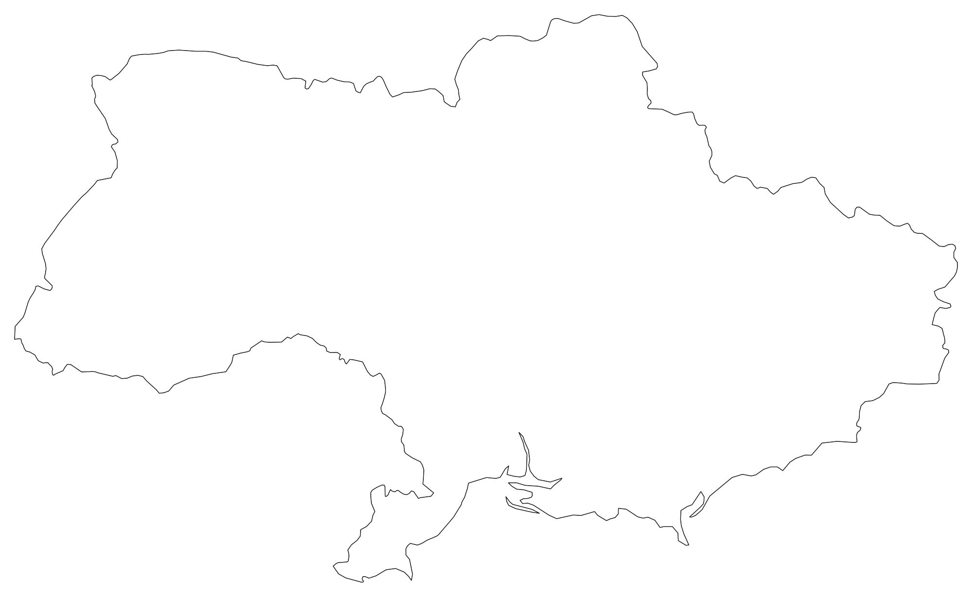
Ukraine Blank Map
Download high-resolution blank Ukraine map outlines with administrative borders in vector SVG, print-ready PDF, and PNG. Free for classroom quizzes, presentations, and research.
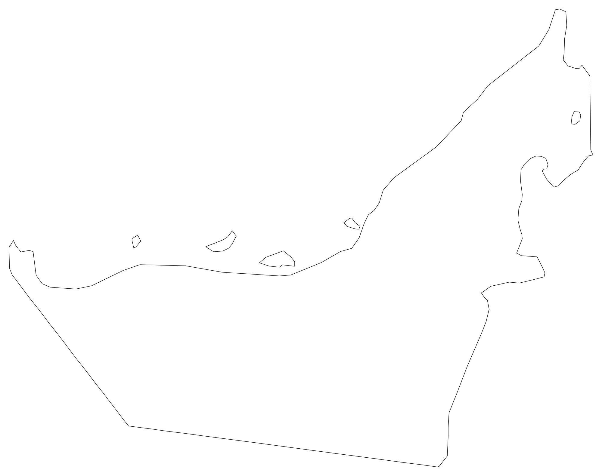
United Arab Emirates Blank Map
Download high-resolution blank United Arab Emirates map outlines with administrative borders in vector SVG, print-ready PDF, and PNG. Free for classroom quizzes, presentations, and research.
 Popular
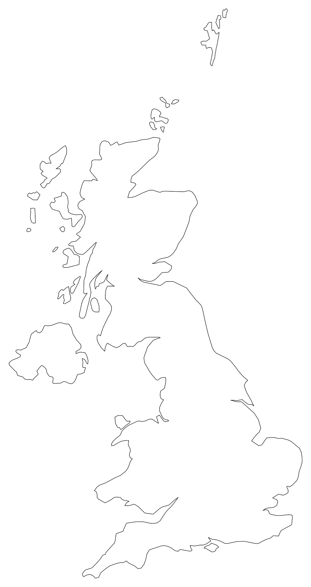
United Kingdom Blank Map
Download high-resolution blank United Kingdom map outlines with administrative borders in vector SVG, print-ready PDF, and PNG. Free for classroom quizzes, presentations, and research.
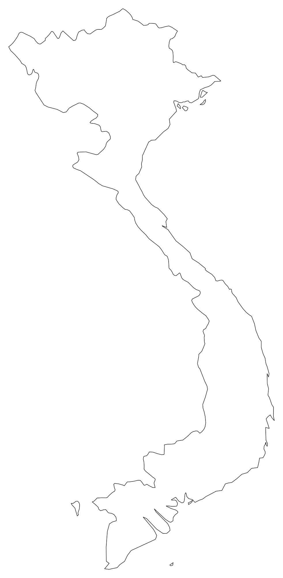
Vietnam Blank Map
Download high-resolution blank Vietnam map outlines with administrative borders in vector SVG, print-ready PDF, and PNG. Free for classroom quizzes, presentations, and research.
Cartographic Standards & Printing Best Practices
Understanding map projections, resolution metrics, and vector reproduction ensures that your classroom worksheets, executive presentations, and publication figures remain sharp and geographically truthful.
1. Equal-Area Projections
Standard cylindrical projections like Web Mercator severely inflate land areas near the poles, making Greenland appear larger than South America. Our national and regional blank maps employ Albers Equal-Area Conic and Lambert Azimuthal projections, ensuring proportional truth for geographic analysis.
2. Continuous-Tone 300 DPI
Standard desktop screens display imagery at 72 to 144 PPI, which appears pixelated and jagged when transferred to ink on paper. Our raster exports support up to 7200px, guaranteeing continuous-tone 300+ DPI sharpness on classroom copiers and large-format plotters.
3. CC0 Public Domain
All map geometries and data tables across our 110-map catalog are dedicated to the public domain under CC0 1.0 Universal. You are legally free to integrate them into monetized YouTube videos, textbooks, mobile apps, or commercial client reports without legal friction.
Frequently Asked Questions: Blank Map Library
Everything you need to know about formats, commercial licenses, classroom print layouts, and vector editing.
Q1.Where can I download free printable blank maps without watermarks?
All 110 blank outline maps in the GeoMap Suite library are 100% free to download without watermarks, login requirements, or subscriptions. You can download maps of the World, continents, all 50 US states, and major nations in scalable SVG, high-res PNG, and print-ready PDF.
Q2.Can I use these blank maps for commercial projects and education?
Yes. All blank maps across GeoMap Suite are released into the public domain under the Creative Commons CC0 1.0 Universal license. You are free to print, alter, publish, and distribute them in commercial publications, textbooks, classroom worksheets, videos, and websites without royalties or required attribution.
Q3.What is the difference between the 4 map variants (Blank, Labeled, Colored, With Cities)?
The "Blank Outlines" variant provides clean borders for blind testing and student coloring. "Labeled Centroids" displays legible state/country labels. "Colored Palette" applies an ink-friendly 12-color harmonic palette to contrast neighboring boundaries. "With Cities" pins major metropolitan centers and state capitals.
Q4.Which download format should I choose: SVG, PNG, or PDF?
Choose vector SVG if you want to recolor or scale paths infinitely in Figma, Adobe Illustrator, or Inkscape. Choose PNG (available up to 7200px) for Google Docs, Word, or web presentations. Choose PDF for immediate, sharp printing on standard US Letter (8.5×11") or A4 paper.
Q5.How do I print an outline map at full page size without clipped margins?
Download the print-optimized PDF format or a 2400px+ PNG. Open your system print dialog, verify that paper size matches your printer (US Letter or A4), select "Fit to Printable Area" or "Scale: 100%", and choose "Fine / High Quality" output.
Q6.Can I customize and color individual states or countries in graphic software?
Yes. Download the vector SVG version. Each state, county, or country is saved as an independent, named SVG vector path element, allowing you to select, recolor, stroke, or hide individual territories in any vector graphic software.